Paddling in Lac-Témiscouata National Park
- National Park
- Lakes
- 10
- Rivers
- 14
- Access
- 0
- Boat Ramps
- 0
- Shops
- 0
Lac-Témiscouata National Park sits in the Bas-Saint-Laurent region of southern Quebec, just north of the New Brunswick border, anchored by one of the most significant lakes south of the St. Lawrence River.
The park's 175 km² are divided into two sections — the larger Squatec and Saint-Juste sectors to the northeast of the lake, and the smaller Dégelis sector to the southeast — and the water running through and between them is the reason paddlers keep coming back.
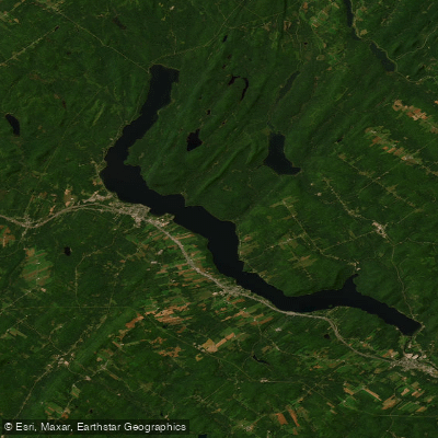
Lac Témiscouata itself is the centerpiece. Big enough for sea kayak touring, the lake rewards those who work out from Anse-à-William toward landmarks like the Old Wharf and Fourneau Mountain.
The park has marked kayak and canoe circuits starting from that launch, and rental sea kayaks, recreational kayaks, canoes, and stand-up paddleboards are available on site. The season runs late spring through early fall.
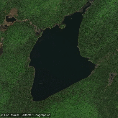
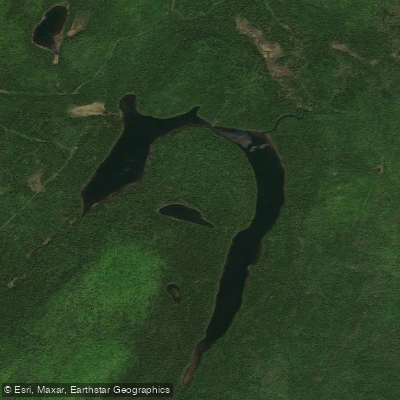
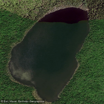
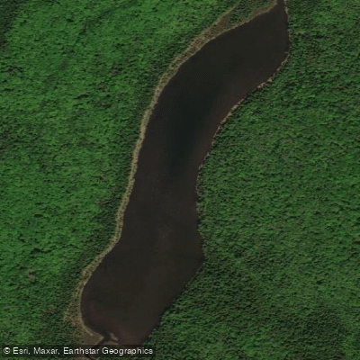
Petit and Grand Lacs Touladi round out the flatwater picture. Both are accessible for paddling and sit within the park's territory.
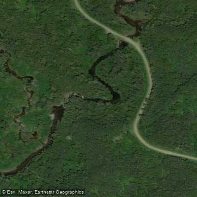
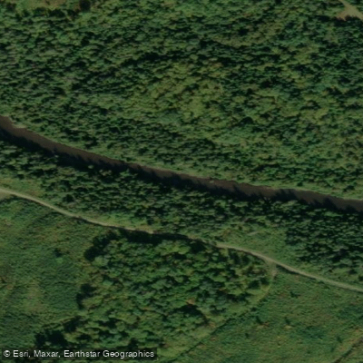
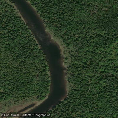
The Touladi River, which the Wikipedia entry identifies as a major canoeable river crossed by the park, connects this landscape and carries its own ecological weight — it's where dwarf whitefish are found, a detail worth holding onto when you're reading the water.
The park is administered by Sépaq, Quebec's provincial parks authority, not Parks Canada, so the rules governing fishing, permits, and access follow Sépaq's framework. Check directly with the park for current requirements before you launch.
This is flatwater country — lake touring, quiet rivers, early mornings on the Touladi. The history underneath it runs deep: people have been moving across this water for 10,000 years, using Lac Témiscouata as a transit corridor between the St.
Lawrence and the Bay of Fundy. Paddling here, you're on an old route.
Top waters to paddle near Lac Temiscouata National Park
Water and weather conditions (10 day forecast)
See the best times to paddle Lac-Témiscouata National Park and check the forecast before you go.
No forecast data available.
Paddle smarter with real-time insights
Whether you're en route and conditions shift or you're looking for the best spot based on current flows, we enable you to make informed decisions on the fly.







Paddling near Lac-Témiscouata National Park
Loading...
Gateway towns
Where to base yourself for paddling in Lac-Témiscouata National Park.
- Témiscouata-sur-le-LacBas-Saint-Laurent
Nearest city to the park, with hotels, services, and access to the Dégelis and main park sectors.
- Saint-Michel-du-SquatecBas-Saint-Laurent
Sits at the Squatec sector entrance, the park's primary campground and trailhead hub on Lake Témiscouata.
- Saint-Juste-du-LacBas-Saint-Laurent
Gateway to the Saint-Juste sector, home to the Grand-Lac-Touladi campground and family activity area.
Explore Lac-Témiscouata National Park
Top paddling waters
Popular Cities
Loading popular cities...

Smarter Paddling Starts in the App.
Paddleways gives you everything you need to plan smarter, paddle better, and own every trip from first launch to takeout.