Rivière Ashberish
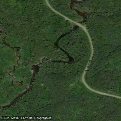
Rivière Ashberish
- Boat Ramps
- 0
- Access Points
- 0
- Campsites
- 0
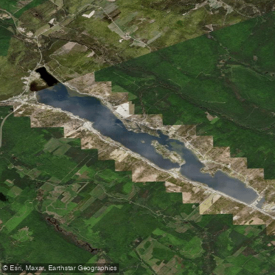
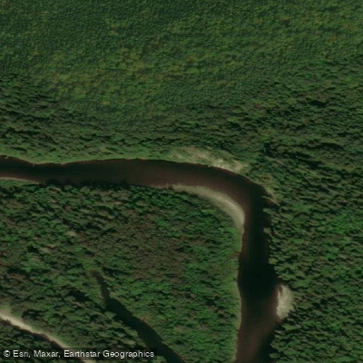
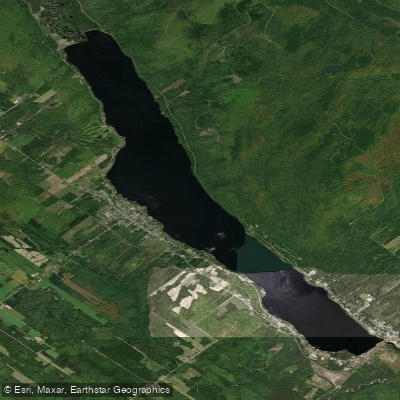
The Rivière Ashberish flows through Parc national du Lac-Témiscouata in southeastern Quebec, where it is one of two main rivers traversing the park alongside the Touladi River. The river connects to Lac Témiscouata, one of the largest freshwater bodies in southeastern Quebec, which stretches approximately 45 km in length and up to 5 km in width.
Paddlers can access the river through the Éco-site de la tête du lac Témiscouata, located at 140, route 232 in Saint-Cyprien, Quebec, which offers canoe and kayak rentals. The operation runs from June to September, which reflects the practical paddling season on this river. The surrounding terrain is characterized by densely forested, low-lying hills, and the river corridor supports a wide variety of bird species, making it of interest to wildlife observers.
The Ashberish River carries considerable historical weight as a travel corridor. It formed part of a portage route connecting Lac Témiscouata to the Trois Pistoles River on the St. Lawrence, a route documented on the Franquelin-DeMeulles Map of 1686 and referenced on subsequent maps through the 18th and 19th centuries. The route was used as a travel highway between the St. John River watershed and the St. Lawrence, and is associated with the passage of Captain Pote to Quebec in 1745. This deep historical context adds a layer of significance to paddling the river today.
The environment along the river is characterized as wild and largely undisturbed, consistent with its location within a provincial national park. Old-growth forests, cedar groves, winding streams, and waterfalls are noted features of the broader park landscape through which the river passes.
Water access, boat ramps & amenities
Learn how to get on Rivière Ashberish. Uncover great paddling access points, boat ramps, and all the facilities you need for an unforgettable day on the water. Some locations shown may border or include private property. Always check property boundaries and applicable regulations before visiting. PaddleWays's Public & Private Land layer can help you plan your access with confidence.
Paddle smarter with real-time insights
Whether you're en route and conditions shift or you're looking for the best spot based on current flows, we enable you to make informed decisions on the fly.







Qc licenses and regulations
No licenses or regulations available for Qc.
Find Places to Paddle

Over 400,000 Places to Paddle
Every user gets free access to launch points, boat ramps, and public property parcels.


Water and weather conditions (10 day forecast)
See the best times to paddle Rivière Ashberish and check the forecast before you go.
No forecast data available.
Paddling near Rivière Ashberish
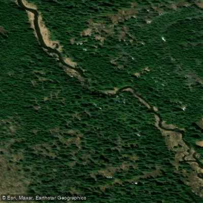
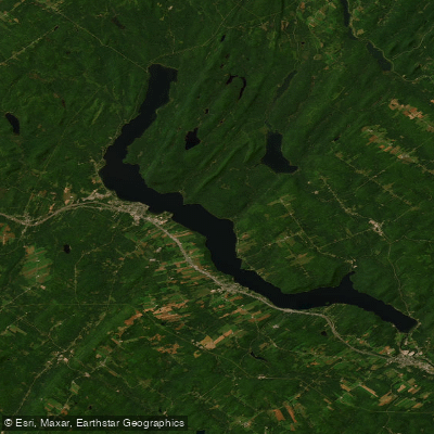
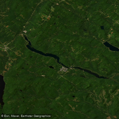
Explore Qc waters
Top paddling waters
No waters available right now.
Popular Cities
Loading popular cities...
Explore near Rivière Ashberish

Smarter Paddling Starts in the App.
Paddleways gives you everything you need to plan smarter, paddle better, and own every trip from first launch to takeout.