Paddling in Pointe-Taillon National Park
- National Park
- Lakes
- 2
- Rivers
- 4
- Access
- 0
- Boat Ramps
- 0
- Shops
- 0
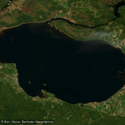
Pointe-Taillon sits on a peninsula jutting into Lac Saint-Jean, the vast inland sea at the heart of the Saguenay–Lac-Saint-Jean region of Québec.
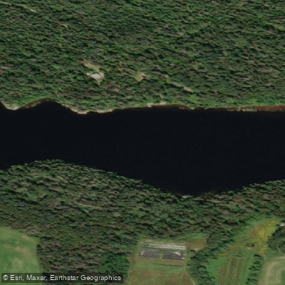
Water defines the park on nearly every side: the warm, sandy-shored lake to the south, and the Rivière Péribonka tracing the park's northern boundary.
The paddling here is flatwater — calm, accessible, and shaped by the rhythms of a large lake and its bordering rivers. Lac Saint-Jean is the dominant water.
Its shoreline within the park stretches across 15 kilometres of fine-sand beach, and the lake's relatively warm summer temperatures make it as much a swimming destination as a paddling one.
A small archipelago of islands — Connelly, Beemer, and Petite île Verte — sits within reach by sea kayak, and several campgrounds on those islands are accessible only by water.
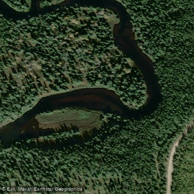
Paddlers can arrive under their own power or catch the Tax'îles water taxi; either way, the island sites give the trip a genuine overnight character. The Rivière Péribonka runs along the north side of the park and is the go-to for canoe excursions.
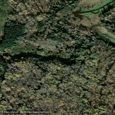
The Rivière Taillon is described as fast — a different tempo than the open lake, and worth noting for anyone expecting flatwater throughout.
Rentals — recreational kayaks, canoes, and stand-up paddleboards — are available at Taillon Beach, by the hour, half day, or full day.
The park's camping season runs mid-June through mid-October, with July and August bringing the warmest water and the most company. Shoulder seasons are quieter, though weather on a lake this size can shift quickly.
As a Sépaq-managed national park, Pointe-Taillon operates under its own rules and permit requirements. Check directly with the park before you go — what applies on the surrounding waters doesn't necessarily apply inside the boundary.
Top waters to paddle near Pointe Taillon National Park
Water and weather conditions (10 day forecast)
See the best times to paddle Pointe-Taillon National Park and check the forecast before you go.
No forecast data available.
Paddle smarter with real-time insights
Whether you're en route and conditions shift or you're looking for the best spot based on current flows, we enable you to make informed decisions on the fly.







Paddling near Pointe-Taillon National Park
Loading...
Gateway towns
Where to base yourself for paddling in Pointe-Taillon National Park.
- Saint-Henri-de-TaillonQC
The village at the park entrance, serving as the primary base for visitors with access to park services.
- AlmaQC
The nearest city to the park, offering the widest range of lodging, supplies, and services for visitors.
- PéribonkaQC
A small community near the park's northern boundary along the Péribonka River, used as a base for canoe access.
Explore Pointe-Taillon National Park
Top paddling waters
Popular Cities
Loading popular cities...

Smarter Paddling Starts in the App.
Paddleways gives you everything you need to plan smarter, paddle better, and own every trip from first launch to takeout.