Rivière Péribonka
Rivière Péribonka
- Boat Ramps
- 0
- Access Points
- 0
- Campsites
- 0
The Rivière Péribonka is a major river in the Saguenay–Lac-Saint-Jean region of Quebec, stretching approximately 451 kilometres from its source just west of the Otish Mountains to its mouth at Lac Saint-Jean, near the town of Péribonka. It drains a basin of roughly 28,200 square kilometres and carries an average discharge of 635 cubic metres per second, making it the largest tributary of Lac Saint-Jean. The river flows through the Maria-Chapdelaine Regional County Municipality and passes through the Zec des Passes territory.
The character of the river varies considerably along its length. The lower reaches near Lac Saint-Jean feature rocky escarpments that give the corridor a fjord-like appearance, with 400-metre cliff walls visible along certain stretches. Numerous sandbars provide natural camping spots for multi-day trips. The area around Île du Repos and the surrounding islands on the north coast offers calmer paddling, though strong currents and rapids exist toward Sainte-Monique and are not recommended for casual paddlers. Water levels can fluctuate suddenly, and low-lying campsites near river mouths and certain islands carry a risk of flooding.
Several access points exist along the river. The Marina de Péribonka, located at 375, rue Édouard-Niquet in the town of Péribonka, serves as a primary launch point and offers boat ramps, gas, electricity, showers, picnic tables, and kayak rentals (solo and tandem, by the hour, half-day, or full day). Another access point is found via the Uniforêt road heading toward Sainte-Monique, marked by a boat launch sign and equipped with a dock, tables, and a pergola, though water levels there can be shallow. The Péribonka IV dam is used as an upstream launch point for guided multi-day expeditions.
Guided four-day sea kayak expeditions are available through at least one outfitter based in Alma, covering roughly 15 to 25 kilometres per day and rated at a beginner level. These trips typically depart from the Péribonka IV dam and travel downstream. Wildlife viewing, including moose, is possible along the route. Canot Kayak Québec publishes a free seven-map digital bundle for the Avenza Maps app covering the full river corridor, indicating launch points, rapids, portages, and camping sites — a useful planning resource for independent paddlers.
Water access, boat ramps & amenities
Learn how to get on Rivière Péribonka. Uncover great paddling access points, boat ramps, and all the facilities you need for an unforgettable day on the water. Some locations shown may border or include private property. Always check property boundaries and applicable regulations before visiting. PaddleWays's Public & Private Land layer can help you plan your access with confidence.
Paddle smarter with real-time insights
Whether you're en route and conditions shift or you're looking for the best spot based on current flows, we enable you to make informed decisions on the fly.







Qc licenses and regulations
No licenses or regulations available for Qc.
Find Places to Paddle

Over 400,000 Places to Paddle
Every user gets free access to launch points, boat ramps, and public property parcels.


Water and weather conditions (10 day forecast)
See the best times to paddle Rivière Péribonka and check the forecast before you go.
No forecast data available.
Paddling near Rivière Péribonka
Rivière Saguenay
Lac Kénogami
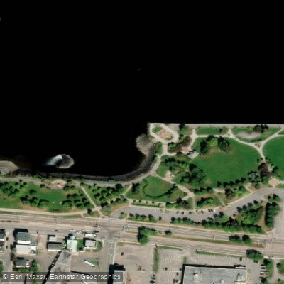
Plage de la zone portuaire de Chicoutimi
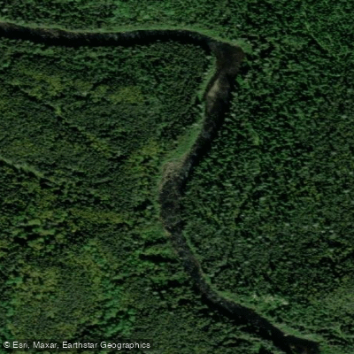
Rivière Pikauba
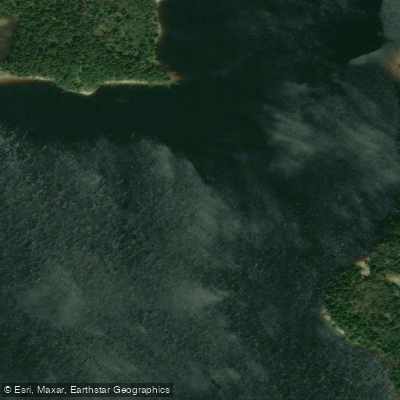
Rivière Shipshaw
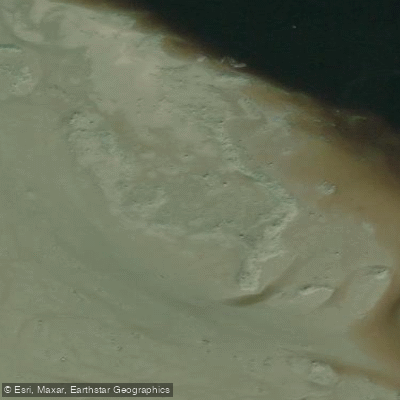
Battures aux Loups Marins
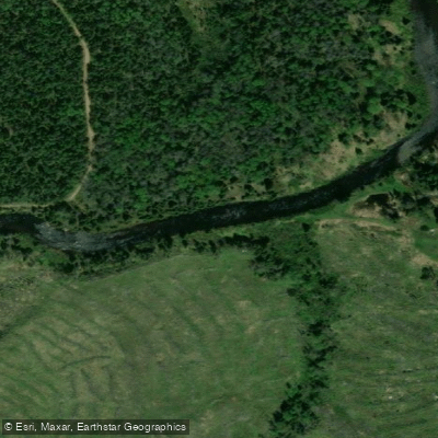
Rivière à Mars
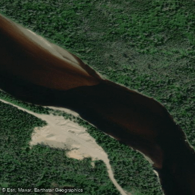
Rivière Mistassini
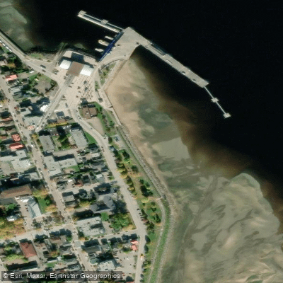
plage de La Baie
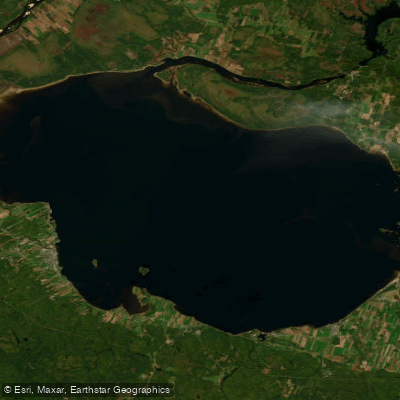
Lac Saint-Jean
Explore Qc waters
Top paddling waters
No waters available right now.
Popular Cities
Loading popular cities...
Explore near Rivière Péribonka

Smarter Paddling Starts in the App.
Paddleways gives you everything you need to plan smarter, paddle better, and own every trip from first launch to takeout.