Paddling in Ulittaniujalik National Park
- National Park
- Lakes
- 6
- Rivers
- 5
- Access
- 0
- Boat Ramps
- 0
- Shops
- 0
Ulittaniujalik sits in Nunavik, Quebec's subarctic north, near Ungava Bay — a 5,293 km² protected plateau of tundra, boreal valley floors, and the river system that defines it.
The paddling here is built around moving water in a genuinely remote landscape, where the nearest road is far away and the river is both the route and the destination. The George River is the spine of the park.
Majestic is the word the Inuit and Naskapi used this corridor for generations, and the river earns it — running through the George River Plateau, past the calving grounds of the George River caribou herd, and down through a landscape still visibly shaped by the retreat of an ancient glacial lake.
The park protects an important section of this river, and canoe-camping is the primary way to travel it. Outfitters have run 8- to 11-day expeditions here, combining paddling and camping across the full arc of the journey.
Whitewater canoe and kayak rentals are available through the park, and guided trips can be arranged. The Ford River system also figures in the traditional travel network of the region, used historically to access inland hunting routes.
Summer is the operating season. Access to the park is by air into Kangiqsualujjuaq, the Inuit community near the park's boundary — there is no road in.
That remoteness shapes everything: gear transport services are available through the park, and self-sufficiency is not optional. Because this is a Parcs Québec park, park-specific rules apply to fishing and overnight travel.
Check directly with the park for current permit requirements before you go — the rules here are not the same as a provincial fishing licence alone. The George River also holds Nunavik Atlantic salmon.
That alone tells you something about the water quality and the wildness of what the park is protecting. Come here knowing the river is the point — not a backdrop, but the whole reason to make the trip north.
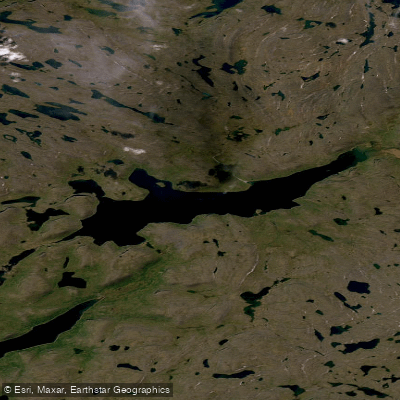
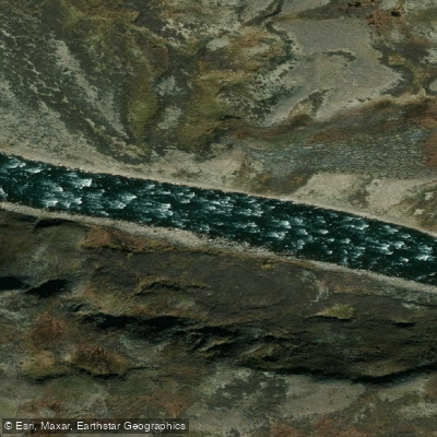
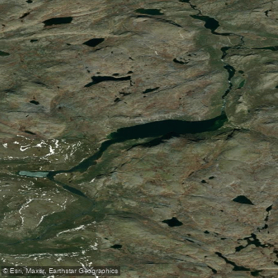
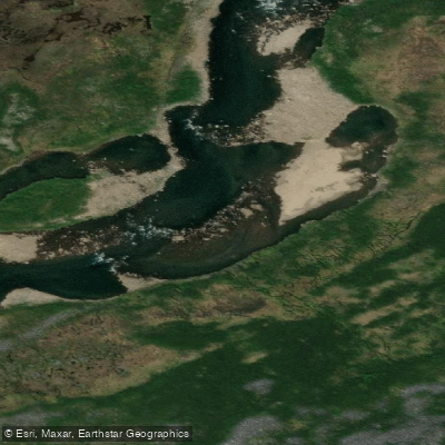
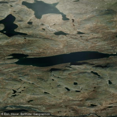
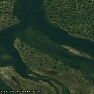
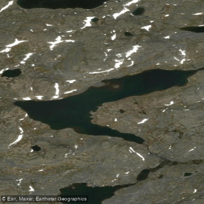
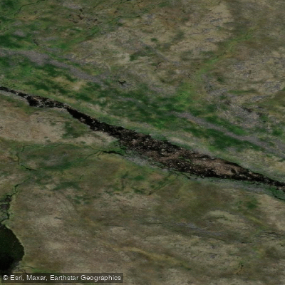
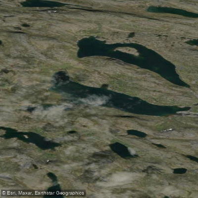
Top waters to paddle near Ulittaniujalik National Park
Water and weather conditions (10 day forecast)
See the best times to paddle Ulittaniujalik National Park and check the forecast before you go.
No forecast data available.
Paddle smarter with real-time insights
Whether you're en route and conditions shift or you're looking for the best spot based on current flows, we enable you to make informed decisions on the fly.







Paddling near Ulittaniujalik National Park
Loading...
Gateway towns
Where to base yourself for paddling in Ulittaniujalik National Park.
- KangiqsualujjuaqNunavik, QC
The nearest community to the park and the primary base for accessing it, with local guides and outfitters serving visitors.
- KuujjuaqNunavik, QC
An Inuit community that partnered in creating the park and serves as a regional hub for flights and trip logistics into Nunavik.
Explore Ulittaniujalik National Park
Top paddling waters
Popular Cities
Loading popular cities...

Smarter Paddling Starts in the App.
Paddleways gives you everything you need to plan smarter, paddle better, and own every trip from first launch to takeout.