Rivière George
Rivière George
- Boat Ramps
- 0
- Access Points
- 0
- Campsites
- 0
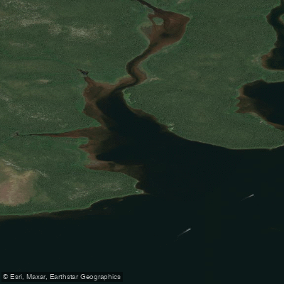
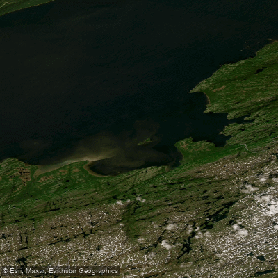
The Rivière George (George River) is a major northern canoe expedition route in northeastern Quebec, flowing approximately 550–600 km due north from its headwaters near the Labrador border to Ungava Bay, dropping from roughly 425 m elevation at Cabot Lake to tidewater at the Inuit village of Kangiqsualujjuaq. The river passes through boreal forest, open tundra, and increasingly mountainous terrain as it descends toward the bay. The watershed is protected as a territorial reserve for biodiversity purposes under Quebec provincial designation.
The standard access is by chartered float plane from Schefferville, Quebec, to a small lake near the outlet of Cabot Lake. Schefferville is reached via the Tshiuetin Rail Transportation service from Sept-Iles, which runs twice weekly with canoes accepted as cargo. From the Schefferville rail station, a transfer of roughly 6 km reaches the floatplane base on Squaw Lake. An alternative put-in uses the De Pas River from Schefferville, which joins the George just south of Indian House Lake. A more demanding approach follows the historical Hubbard expedition route, crossing the height of land from Labrador via Smallwood Reservoir and Adelaide Lake into the George's headwaters at Hubbard Lake. The take-out is at Kangiqsualujjuaq, where paddlers typically depart by air. The final 40 km of the river is subject to tidal influence, and parties must coordinate their approach to the village accordingly.
Depending on the route chosen, the trip typically takes 15–17 days with as few as 3 portages on the standard route or up to 10 on the Labrador approach. The river is wide with numerous runnable rapids and crystal clear water. The lower reaches are notable for the boreal forest thinning and giving way to treeless tundra, a characteristic reflected in the Naskapi name Mushuan Shipu, meaning "River without Trees." Helen Falls is a significant landmark, and the Pyramid Mountains are a notable feature along the route.
Prevailing winds are from the northwest and rain is frequent. Mosquitoes are present throughout the journey; black fly activity intensifies below Helen Falls. The George River caribou herd, once among the largest in the world, has experienced a dramatic population decline in recent years. Wolves may also be observed along the route. The trip is rated as suitable for experienced paddlers and is considered an advanced expedition.
Water access, boat ramps & amenities
Learn how to get on Rivière George. Uncover great paddling access points, boat ramps, and all the facilities you need for an unforgettable day on the water. Some locations shown may border or include private property. Always check property boundaries and applicable regulations before visiting. PaddleWays's Public & Private Land layer can help you plan your access with confidence.
Paddle smarter with real-time insights
Whether you're en route and conditions shift or you're looking for the best spot based on current flows, we enable you to make informed decisions on the fly.







Qc licenses and regulations
No licenses or regulations available for Qc.
Find Places to Paddle

Over 400,000 Places to Paddle
Every user gets free access to launch points, boat ramps, and public property parcels.


Water and weather conditions (10 day forecast)
See the best times to paddle Rivière George and check the forecast before you go.
GEORGE (RIVIERE) A LA SORTIE DU LAC DE LA HUTTE SAUVAGE
Paddling near Rivière George
Explore Qc waters
Top paddling waters
No waters available right now.
Popular Cities
Loading popular cities...
Explore near Rivière George
Smarter Paddling Starts in the App.
Paddleways gives you everything you need to plan smarter, paddle better, and own every trip from first launch to takeout.