Lac Tasiguluk
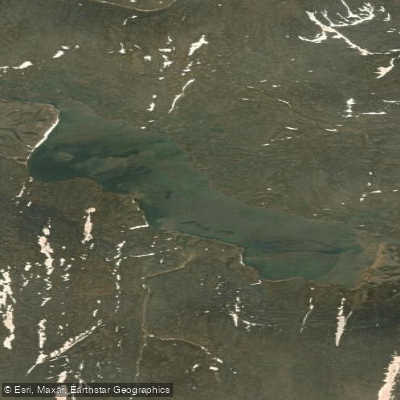
Lac Tasiguluk
- Boat Ramps
- 0
- Access Points
- 0
- Campsites
- 0
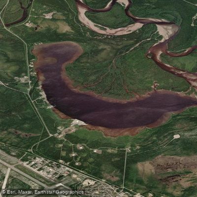
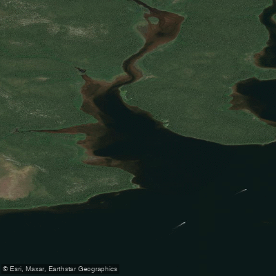
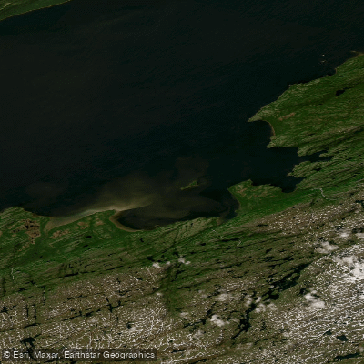
Lac Tasiguluk is located within Kuururjuaq National Park in northern Quebec, a remote wilderness area accessible only by air or water, with no road connections to the surrounding region. The nearest community is Kangiqsualujjuaq, approximately 30 km from the park's coastal boundary. Access to the lake typically involves charter bush planes or commercial flights to the Kangiqsualujjuaq airstrip, followed by either a boat transfer along the Koroc River estuary or a floatplane to designated landing sites within the park, including a site at the edge of Tasiguluk Lake itself. Pilots require prior authorization from park authorities before landing at these points.
The lake sits in the southern portion of the Torngat Mountain Foothills natural region and serves as the outlet for the upper Koroc River. Paddlers should be aware that the Koroc River's water levels depend primarily on precipitation after spring freshets, as there is no large lake in the drainage basin to regulate flow. Starting in mid-July, rocks may become significantly more apparent on the river's surface downstream from Lac Tasiguluk's outlet, increasing the difficulty of navigation in that section.
The landscape surrounding the lake reflects dramatic glacial history. A deep subglacial gorge approximately 5 km long cuts through the plateau to the southeast of the lake, and an immense moulin kame roughly 20 metres high stands at its southern tip. The former shoreline of a proglacial lake that once flooded the surrounding valleys remains visible on the mountain slopes as green paths contrasting with the otherwise largely bare terrain.
One communal hut is planned at Tasiguluk Lake as part of the park's infrastructure, designed to accommodate up to 12 people with heating, bunks, tables, and emergency supplies including radios and GPS coordinates. The park operates under a permit system and encourages leave-no-trace principles for wilderness camping in non-preservation zones. Given the park's extreme remoteness and the tidal ranges exceeding 8 metres along the Koroc River estuary approach route, thorough logistical planning well in advance is essential for any visit.
Water access, boat ramps & amenities
Learn how to get on Lac Tasiguluk. Uncover great paddling access points, boat ramps, and all the facilities you need for an unforgettable day on the water. Some locations shown may border or include private property. Always check property boundaries and applicable regulations before visiting. PaddleWays's Public & Private Land layer can help you plan your access with confidence.
Paddle smarter with real-time insights
Whether you're en route and conditions shift or you're looking for the best spot based on current flows, we enable you to make informed decisions on the fly.







Qc licenses and regulations
No licenses or regulations available for Qc.
Find Places to Paddle

Over 400,000 Places to Paddle
Every user gets free access to launch points, boat ramps, and public property parcels.


Water and weather conditions (10 day forecast)
See the best times to paddle Lac Tasiguluk and check the forecast before you go.
No forecast data available.
Paddling near Lac Tasiguluk
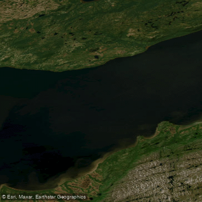
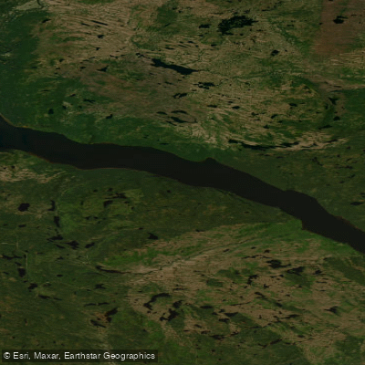
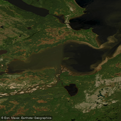
Explore Qc waters
Top paddling waters
No waters available right now.
Popular Cities
Loading popular cities...
Explore near Lac Tasiguluk

Smarter Paddling Starts in the App.
Paddleways gives you everything you need to plan smarter, paddle better, and own every trip from first launch to takeout.