Quebrada Guanaqueros
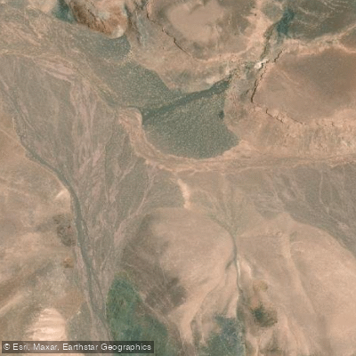
Quebrada Guanaqueros
- Boat Ramps
- 0
- Access Points
- 0
- Campsites
- 0
Quebrada Guanaqueros is a 46-kilometer-long natural watercourse located in the Antofagasta Region of Chile. It originates at Cerro Guanaqueros and flows westward until it disappears into the desert terrain. The waterway terminates near the coast at approximately 24° 14' 28" S, 68° W. For paddlers, the primary character of the experience is defined by this arid, desert environment. Specific access points for putting in and taking out are noted as being available, though their exact locations are not detailed. Planning resources exist that can help identify these launch and landing sites, as well as map private and public land boundaries along the route. The overall flow of the river and its eventual disappearance suggest a seasonal or intermittent nature, which is a critical consideration for trip planning. Paddling is likely to be highly dependent on recent rainfall, and the best seasons or times for navigable water levels are not specified. The surrounding landscape, dominated by the Cerro Guanaqueros, provides a stark and dramatic aesthetic backdrop typical of the Atacama Desert region. No specific hazards, water quality issues, regulations restricting paddling, or facilities like boat ramps are explicitly mentioned, indicating that paddlers should plan for a self-sufficient expedition with limited services.
Water access, boat ramps & amenities
Learn how to get on Quebrada Guanaqueros. Uncover great paddling access points, boat ramps, and all the facilities you need for an unforgettable day on the water. Some locations shown may border or include private property. Always check property boundaries and applicable regulations before visiting. PaddleWays's Public & Private Land layer can help you plan your access with confidence.
Paddle smarter with real-time insights
Whether you're en route and conditions shift or you're looking for the best spot based on current flows, we enable you to make informed decisions on the fly.







Antofagasta licenses and regulations
No licenses or regulations available for Antofagasta.
Find Places to Paddle

Over 400,000 Places to Paddle
Every user gets free access to launch points, boat ramps, and public property parcels.


Water and weather conditions (10 day forecast)
See the best times to paddle Quebrada Guanaqueros and check the forecast before you go.
No forecast data available.
Paddling near Quebrada Guanaqueros
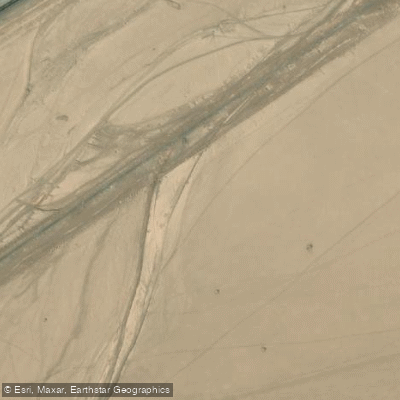
Quebrada Mantos Blancos
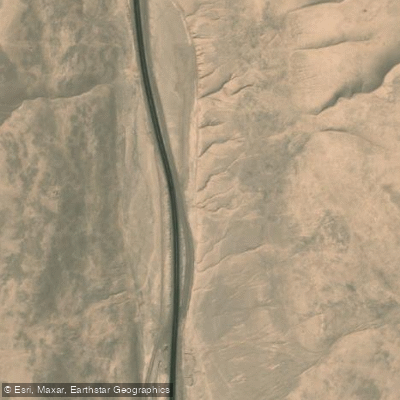
Quebrada Renacimiento
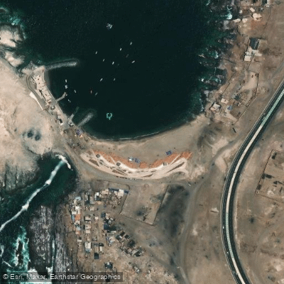
La Chimba
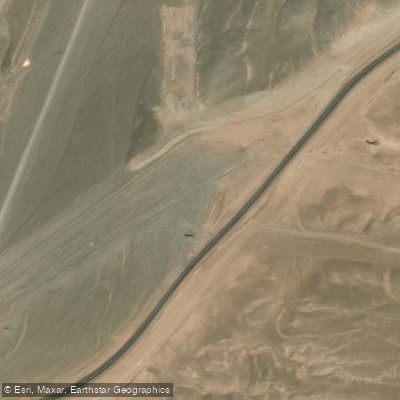
Quebrada Mejillones
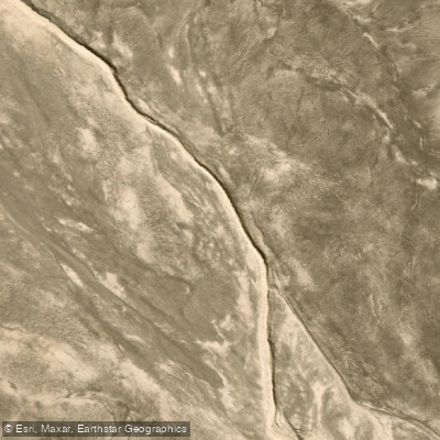
Quebrada Del Profeta
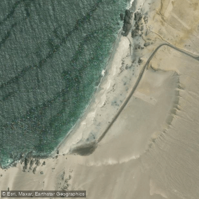
Playa Chacaya
Quebrada Ordoñez
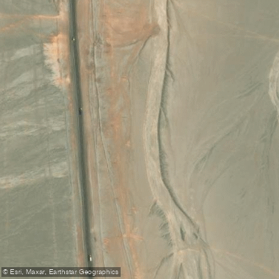
Quebrada De Mateo
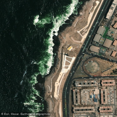
Nilda Point
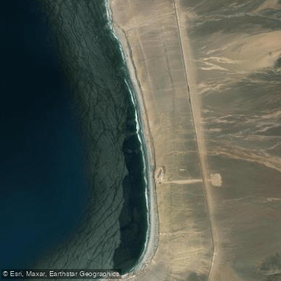
Hornitos
Explore Antofagasta waters
Top paddling waters
No waters available right now.
Popular Cities
Loading popular cities...
Explore near Quebrada Guanaqueros

Smarter Paddling Starts in the App.
Paddleways gives you everything you need to plan smarter, paddle better, and own every trip from first launch to takeout.