Lago Chungará
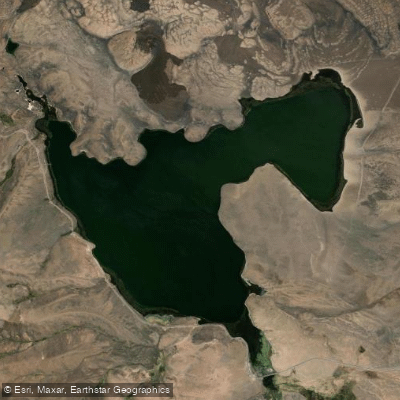
Lago Chungará
- Boat Ramps
- 0
- Access Points
- 0
- Campsites
- 0
Lago Chungará sits at 4,517 metres (14,820 ft) above sea level in the Chilean Altiplano, within Lauca National Park in the Arica y Parinacota Region, near the Bolivian border. It is one of the highest lakes in the world. The lake covers a surface area of approximately 21.5 to 22.5 square kilometres, with a maximum depth of roughly 26 to 40 metres. Its primary inflow is the Río Chungara, and it loses most of its water to evaporation, with minor seepage into the Laguna Quta Qutani. The catchment area is 260 square kilometres.
The dominant visual feature of the lake is the Parinacota volcano (6,342 m), which rises directly behind the water and reflects in the surface on clear days. The Pomerape volcano (6,282 m) is also visible nearby. The altiplano setting produces intense light, dramatic colour contrasts, and a landscape that feels remote and exposed. Temperatures fluctuate significantly, and layered clothing is essential regardless of season. The high altitude means sun intensity is extreme, and altitude sickness is a genuine risk for anyone arriving from lower elevations without acclimatisation. Spending time at a lower elevation — the town of Putre sits at approximately 3,500 metres — before venturing to the lake is strongly advisable.
The lake supports notable wildlife, including flamingos and other Andean bird species associated with the altiplano wetland environment. The threatened Orestias fish is native to the lake; rainbow trout, introduced in the 1990s, are considered an invasive species and the Chilean government has considered eradication measures. The lake falls within Lauca National Park, which was established in 1970, covers 137,883 hectares, and has been part of the Global Network of World Biosphere Reserves since 1981. Park entry fees apply, and cash is recommended as card facilities are limited in this part of Chile.
The nearest practical base is Arica, approximately 190 kilometres to the west, a coastal city at sea level. The road connecting Arica to the lake is described as generally good. No paddling-specific access points, launch sites, or regulations are documented.
Water access, boat ramps & amenities
Learn how to get on Lago Chungará. Uncover great paddling access points, boat ramps, and all the facilities you need for an unforgettable day on the water. Some locations shown may border or include private property. Always check property boundaries and applicable regulations before visiting. PaddleWays's Public & Private Land layer can help you plan your access with confidence.
Paddle smarter with real-time insights
Whether you're en route and conditions shift or you're looking for the best spot based on current flows, we enable you to make informed decisions on the fly.







Arica Y Parinacota licenses and regulations
No licenses or regulations available for Arica Y Parinacota.
Find Places to Paddle

Over 400,000 Places to Paddle
Every user gets free access to launch points, boat ramps, and public property parcels.


Water and weather conditions (10 day forecast)
See the best times to paddle Lago Chungará and check the forecast before you go.
No forecast data available.
Paddling near Lago Chungará
Quebrada Allane
Quebrada Rio Seco
Laguna de Cotacotani
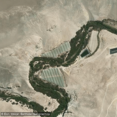
Quebrada De Vitor
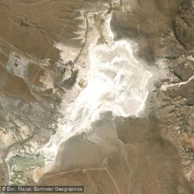
Laguna Blanca
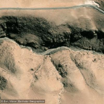
Quebrada Saguara
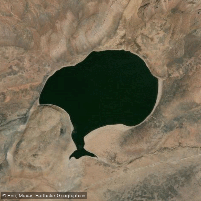
Laguna Casiri Hembra
Explore Arica Y Parinacota waters
Top paddling waters
No waters available right now.
Popular Cities
Loading popular cities...
Explore near Lago Chungará
Nearby waters
More in Arica Y Parinacota

Smarter Paddling Starts in the App.
Paddleways gives you everything you need to plan smarter, paddle better, and own every trip from first launch to takeout.