Laguna de Cotacotani
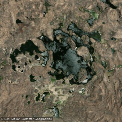
Laguna de Cotacotani
- Boat Ramps
- 0
- Access Points
- 0
- Campsites
- 0
Laguna de Cotacotani is a complex of interconnected high-altitude lagoons situated at 4,495 meters above sea level on the Andean Altiplano within Lauca National Park, Arica y Parinacota Region, Chile. The name derives from Aymara and refers to a group or complex of lakes, which accurately describes the site: rather than a single body of water, it consists of multiple lagoons connected by subterranean filtration from Lago Chungará, located 4 km to the southeast, as well as inflows from the Benedicto Morales River and El Encuentro Creek. The system drains via the Desaguadero River. The total surface area is approximately 6 km², with a maximum depth of 10 meters.
The lagoons are characterized by translucent turquoise and emerald waters dotted with numerous small islets of volcanic rock, the result of ancient lava flows and a massive landslide deposit from Volcán Parinacota estimated at around 18,000 years old. The surrounding landscape includes the Payachata volcanic group — Parinacota and Pomerape — as well as Volcán Guane Guane and Volcán Wallatiri. The area sits roughly 54 km east of Putre and approximately 9 km from the Bolivian border, accessible via Route CH-11, the international highway connecting Arica and La Paz through the Tambo Quemado border crossing.
The extreme altitude is the primary safety consideration for any visitor. Altitude sickness is a genuine risk at nearly 4,500 meters, and adequate acclimatization, hydration, and physical preparation are essential. A 4x4 vehicle is recommended for road access given the rough terrain. The lagoons fall entirely within Lauca National Park, which requires a standard park entrance fee; any specialized activities such as research or filming may require additional permits from park authorities.
Wildlife in and around the lagoons includes three species of Andean flamingos (Chilean, Andean, and James's), Andean gulls, ducks, vicuñas, vizcachas, and tarucas. The bofedal wetland ecosystems surrounding the lagoons support significant biodiversity. The best conditions for visiting are generally reported between April and November, with mornings offering clearer skies and calmer water surfaces. The lagoons are part of the Lauca Biosphere Reserve alongside Lago Chungará and other high-Andean ecosystems.
Water access, boat ramps & amenities
Learn how to get on Laguna de Cotacotani. Uncover great paddling access points, boat ramps, and all the facilities you need for an unforgettable day on the water. Some locations shown may border or include private property. Always check property boundaries and applicable regulations before visiting. PaddleWays's Public & Private Land layer can help you plan your access with confidence.
Paddle smarter with real-time insights
Whether you're en route and conditions shift or you're looking for the best spot based on current flows, we enable you to make informed decisions on the fly.







Arica Y Parinacota licenses and regulations
No licenses or regulations available for Arica Y Parinacota.
Find Places to Paddle

Over 400,000 Places to Paddle
Every user gets free access to launch points, boat ramps, and public property parcels.


Water and weather conditions (10 day forecast)
See the best times to paddle Laguna de Cotacotani and check the forecast before you go.
No forecast data available.
Paddling near Laguna de Cotacotani
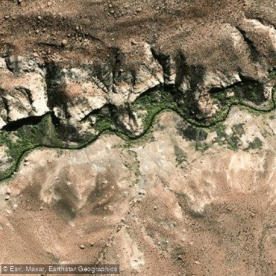
Quebrada Allane
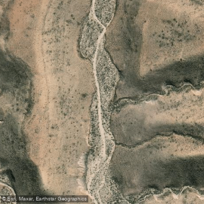
Quebrada Rio Seco
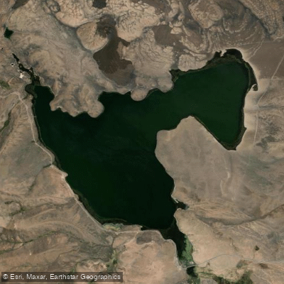
Lago Chungará
Quebrada De Vitor
Laguna Blanca
Quebrada Saguara
Laguna Casiri Hembra
Explore Arica Y Parinacota waters
Top paddling waters
No waters available right now.
Popular Cities
Loading popular cities...
Explore near Laguna de Cotacotani
Nearby waters
More in Arica Y Parinacota

Smarter Paddling Starts in the App.
Paddleways gives you everything you need to plan smarter, paddle better, and own every trip from first launch to takeout.