Laguna del Negro Francisco
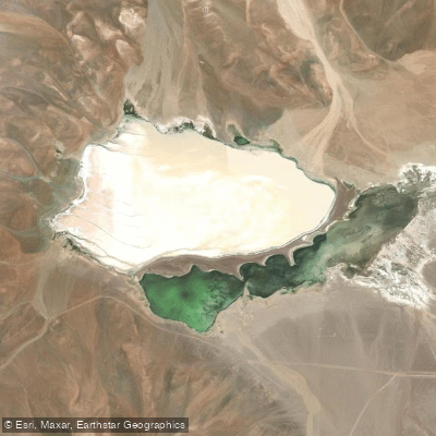
Laguna del Negro Francisco
- Boat Ramps
- 0
- Access Points
- 0
- Campsites
- 0
Laguna del Negro Francisco sits at 4,125 metres above sea level in the Atacama Region of Chile, approximately 150–200 kilometres northeast of Copiapó, within the Parque Nacional Nevado Tres Cruces. The lake is roughly 7.5 to 10 kilometres long and 2.5 to 4 kilometres wide, with a surface area of about 20.7 square kilometres. Despite its considerable extent, the average depth is only around 1 metre, which is a defining characteristic that paddlers must account for throughout any trip on the water.
A natural peninsula — likely formed by a moraine and subsequently shaped by wind-driven sand accumulation — divides the lake into a north-northwesterly and a south-southeasterly half. These two sections differ in colour and water composition: one portion is brackish and the other is more saline, connected by a small channel. The lake is endorheic, fed primarily by the Ríos Astaburuaga and Lamas, with no outflow to the sea, which contributes to its elevated salinity.
Access to the lake is limited due to its remote high-altitude location. A CONAF (National Forest Corporation) building is situated near the southwestern shore. Approaches by vehicle are restricted in certain areas, and access on foot near the shoreline is also controlled in zones designated as nesting habitat for birds. Paddlers should be aware that the lakeshore serves as active nesting ground for flamingos and other species, and disturbance to these areas is a serious concern under the park's conservation mandate. The lake holds Ramsar wetland status, reflecting its ecological importance, and regulations within the national park govern visitor behaviour accordingly.
Wildlife visible from the water includes Andean flamingos, horned coots, wild ducks, vicuñas, guanacos, and culpeo foxes along the shoreline. The surrounding landscape consists of high Andean peaks and volcanoes. Wind is a notable environmental factor; accounts describe calm conditions at sunset when winds typically drop, while daytime conditions at this altitude can be considerably more exposed. The extreme elevation means altitude-related health considerations are relevant for any visit. The lake is described as visually striking, particularly in evening light when the water surface reflects the surrounding mountains.
Water access, boat ramps & amenities
Learn how to get on Laguna del Negro Francisco. Uncover great paddling access points, boat ramps, and all the facilities you need for an unforgettable day on the water. Some locations shown may border or include private property. Always check property boundaries and applicable regulations before visiting. PaddleWays's Public & Private Land layer can help you plan your access with confidence.
Paddle smarter with real-time insights
Whether you're en route and conditions shift or you're looking for the best spot based on current flows, we enable you to make informed decisions on the fly.







Atacama licenses and regulations
No licenses or regulations available for Atacama.
Find Places to Paddle

Over 400,000 Places to Paddle
Every user gets free access to launch points, boat ramps, and public property parcels.


Water and weather conditions (10 day forecast)
See the best times to paddle Laguna del Negro Francisco and check the forecast before you go.
No forecast data available.
Paddling near Laguna del Negro Francisco
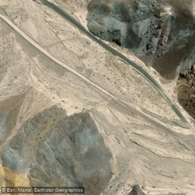
Quebrada Carrizalillo
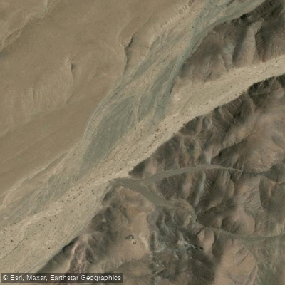
Quebrada Chulo
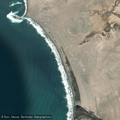
Playa Las Salinas
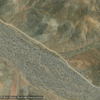
Quebrada Cortadera
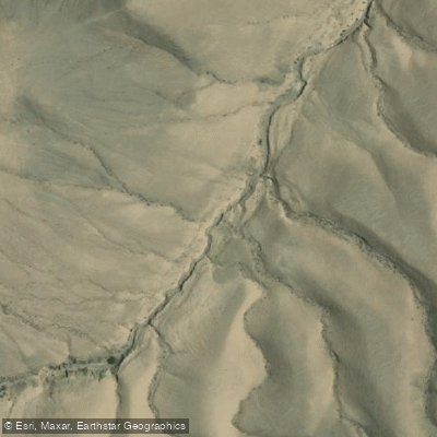
Quebrada Los Algarrobos
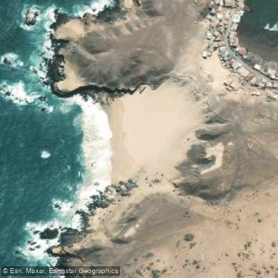
Playa Blanca
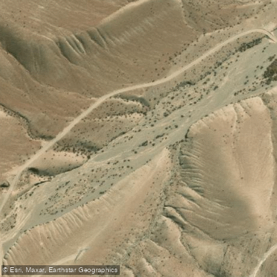
Quebrada Angostura
Quebrada Salitrosa
Playa Paraíso
Quebrada Seca
Explore Atacama waters
Top paddling waters
No waters available right now.
Popular Cities
Loading popular cities...
Explore near Laguna del Negro Francisco

Smarter Paddling Starts in the App.
Paddleways gives you everything you need to plan smarter, paddle better, and own every trip from first launch to takeout.