Playa Loreto
- Saltwater
- Beach
Playa Loreto
- Saltwater
- Beach
- Sq. miles
- 0.2
- Boat Ramps
- 0
- Access Points
- 1
- Campsites
- 0
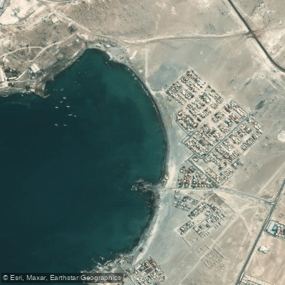
Playa Loreto is a beach located approximately 12 kilometers south of the city of Caldera in the Copiapó Province of Chile's Atacama region. It is accessed via Route C-354, with a specific turnoff to the beach located about 1 kilometer south of the intersection of routes C-314 and C-354. The beach serves as a popular recreational area and is a known venue for organized paddlesports events, including SUP (stand-up paddleboarding) races on a 2-kilometer circuit and kayak activities. For paddlers launching from shore, the beach provides direct access to the Pacific Ocean. The area is characterized by its coastal desert environment. A significant nearby feature is Punta Ester, an artificial peninsula located within the Playa Loreto area, which includes a pedestrian walkway and a pier. This point and the surrounding waters are likely destinations for paddlers exploring from the beach launch. The region is part of a coastal paleontological route, with significant fossil sites nearby, such as Los Dedos, which may be of interest as a sight from the water or as part of a longer coastal itinerary. The beach is situated near other notable coastal destinations, including the famed Bahía Inglesa, approximately 1 kilometer to the south, which is known for its white sand and clear, emerald-colored waters. Paddlers could consider a trip from Playa Loreto south to explore the coves and rock formations of Bahía Inglesa. The area offers basic tourist amenities, with vendors at Punta Ester noted for selling live scallops, and restaurants in the vicinity.
Water access, boat ramps & amenities
Learn how to get on Playa Loreto. Uncover great paddling access points, boat ramps, and all the facilities you need for an unforgettable day on the water. Some locations shown may border or include private property. Always check property boundaries and applicable regulations before visiting. PaddleWays's Public & Private Land layer can help you plan your access with confidence.
Paddle smarter with real-time insights
Whether you're en route and conditions shift or you're looking for the best spot based on current flows, we enable you to make informed decisions on the fly.







Atacama licenses and regulations
No licenses or regulations available for Atacama.
Find Places to Paddle

Over 400,000 Places to Paddle
Every user gets free access to launch points, boat ramps, and public property parcels.


Tides, wind & water conditions (10 day forecast)
On open water, wind and tide matter as much as the weather. See the best times to paddle Playa Loreto and check the marine forecast before you launch.
Loading tide predictions…
Paddling near Playa Loreto
Quebrada Salitrosa
Quebrada Seca
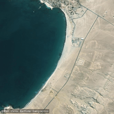
Playa Las Machas
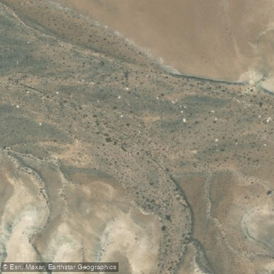
Quebrada Corriente De La Palmira
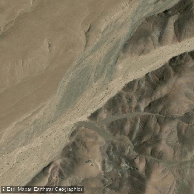
Quebrada Chulo
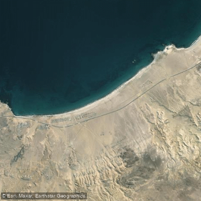
Playa Paraíso
Quebrada Carrizalillo
Quebrada Los Algarrobos
Playa Brava
Explore Atacama waters
Top paddling waters
No waters available right now.
Popular Cities
Loading popular cities...
Explore near Playa Loreto

Smarter Paddling Starts in the App.
Paddleways gives you everything you need to plan smarter, paddle better, and own every trip from first launch to takeout.