Río Simpson
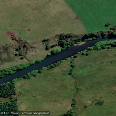
Río Simpson
- Boat Ramps
- 0
- Access Points
- 0
- Campsites
- 2
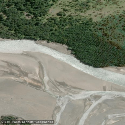
The Río Simpson flows through the Aysén del General Carlos Ibáñez del Campo Region of Chilean Patagonia, originating east of the Andes mountains and forming the western boundary of the city of Coihaique. The Coihaique River, a tributary of the Simpson, borders the city to the north. In its lower course, the river runs through the Reserva Nacional Río Simpson, roughly paralleling Route CH-240, the road connecting Coihaique with Puerto Aisén and Puerto Chacabuco.
The Reserva Nacional Río Simpson was established in 1984 and covers approximately 41,600 hectares, protecting valleys, rivers, forests, and mountains representative of Andean Patagonia. The reserve was created in response to widespread vegetation and fauna loss caused by fires and exploitation, which had triggered floods, landslides, and severe erosion in the area. The river separates two sections of the reserve and runs parallel to the Coyhaique–Puerto Aisén road. Its notable tributaries within the reserve include the Cascada de La Virgen and Correntoso rivers.
The Río Simpson unit of the reserve is located at kilometer 37 of the route between Coyhaique and Puerto Aisén, placing it within easy reach of both cities. The river has been cited as the fourth best river in the world for fly fishing, which speaks to the quality and character of its waters. The river is named after navy hydrographer Enrique Simpson, who explored the region in the 1870s.
The surrounding landscape is representative of Andean Patagonia, with forested valleys and mountain terrain. The reserve's proximity to Coihaique means that basic services are accessible nearby, though paddling infrastructure at the river itself is not well documented. Paddlers considering the Río Simpson should be aware of the river's Patagonian setting, which typically involves variable weather and cold water conditions consistent with the region.
Water access, boat ramps & amenities
Learn how to get on Río Simpson. Uncover great paddling access points, boat ramps, and all the facilities you need for an unforgettable day on the water. Some locations shown may border or include private property. Always check property boundaries and applicable regulations before visiting. PaddleWays's Public & Private Land layer can help you plan your access with confidence.
Paddle smarter with real-time insights
Whether you're en route and conditions shift or you're looking for the best spot based on current flows, we enable you to make informed decisions on the fly.







Aysén licenses and regulations
No licenses or regulations available for Aysén.
Find Places to Paddle

Over 400,000 Places to Paddle
Every user gets free access to launch points, boat ramps, and public property parcels.


Water and weather conditions (10 day forecast)
See the best times to paddle Río Simpson and check the forecast before you go.
Rio Huemules Frente Cerro Galera
All Flow Stations
Paddling near Río Simpson
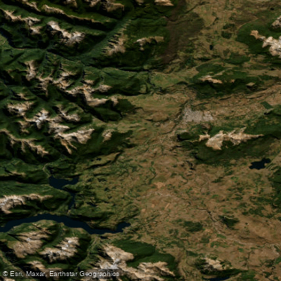
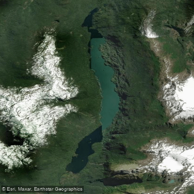
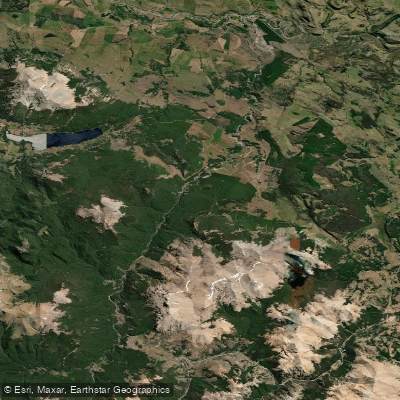
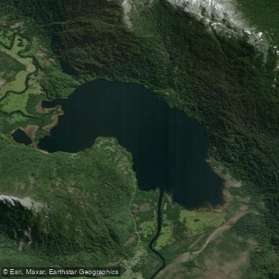
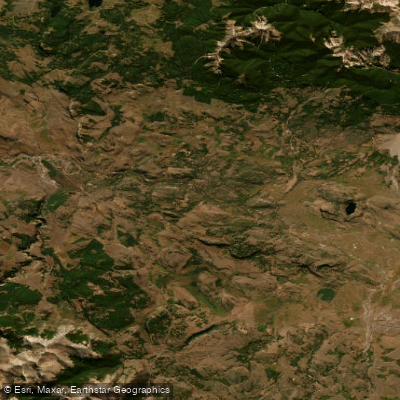
Explore Aysén waters
Top paddling waters
No waters available right now.
Popular Cities
Loading popular cities...
Explore near Río Simpson

Smarter Paddling Starts in the App.
Paddleways gives you everything you need to plan smarter, paddle better, and own every trip from first launch to takeout.