Estero De Nilahue
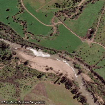
Estero De Nilahue
- Boat Ramps
- 0
- Access Points
- 0
- Campsites
- 0
Estero Nilahue is a coastal stream in the O'Higgins Region of Chile that originates in the Cordillera de la Costa and flows into the Pacific Ocean via Laguna Cáhuil. Its drainage basin covers 1,776 km². The waterway forms from the confluence of Estero Los Coipos — itself fed by Esteros Altos de Caune and El Parrón — and receives additional tributaries including Estero Quiahue (27 km), Estero Lolol (23 km), and Estero Pumanque (21 km) from the east. The estero empties into the southeastern end of Laguna Cáhuil, through which it reaches the ocean.
Kayak tours of the estero operate out of the Pichilemu area, with at least one outfitter running guided trips that include transport from Pichilemu to the southern end of Cáhuil. These excursions typically last three to four hours. The paddling character is calm enough to be suitable for participants of a wide range of ages and experience levels, making it accessible to recreational paddlers rather than only those seeking technical whitewater.
The estero passes through a landscape that retains scattered remnants of native forest along its banks. The area around Cáhuil is historically significant for salt production — marine salt deposits at the mouth of the estero have long supported the local economy, and the ruins of former salt works (salinas) are visible along the route. Autumn paddling on the estero has been documented, suggesting the waterway is navigable across multiple seasons.
Wildlife viewing is a notable feature of the experience. Species observed in the corridor include Coscoroba Swans, Black-necked Swans, Taguas (coots), various duck species, and herons. The combination of birdlife, remnant native vegetation, and the historical salt-working infrastructure gives the estero a distinctive character that blends natural and cultural interest within a relatively short paddle.
Water access, boat ramps & amenities
Learn how to get on Estero De Nilahue. Uncover great paddling access points, boat ramps, and all the facilities you need for an unforgettable day on the water. Some locations shown may border or include private property. Always check property boundaries and applicable regulations before visiting. PaddleWays's Public & Private Land layer can help you plan your access with confidence.
Paddle smarter with real-time insights
Whether you're en route and conditions shift or you're looking for the best spot based on current flows, we enable you to make informed decisions on the fly.







O'higgins licenses and regulations
No licenses or regulations available for O'higgins.
Find Places to Paddle

Over 400,000 Places to Paddle
Every user gets free access to launch points, boat ramps, and public property parcels.


Water and weather conditions (10 day forecast)
See the best times to paddle Estero De Nilahue and check the forecast before you go.
Estero Nilahue En Santa Teresa
Paddling near Estero De Nilahue
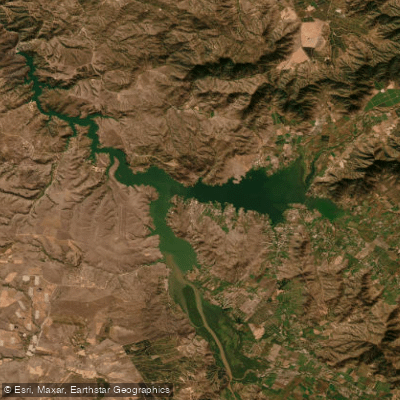
Lago Rapel
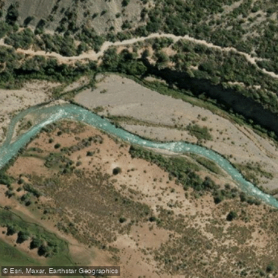
Rio Cachapoal
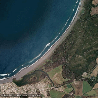
Playa San Antonio
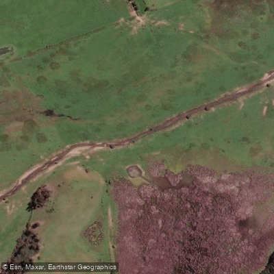
Estero Paredones
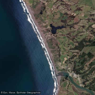
Playa La Pancora
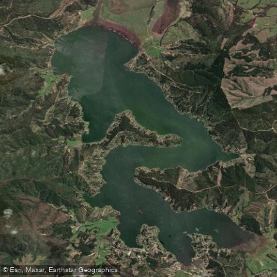
Lago Vichuquén
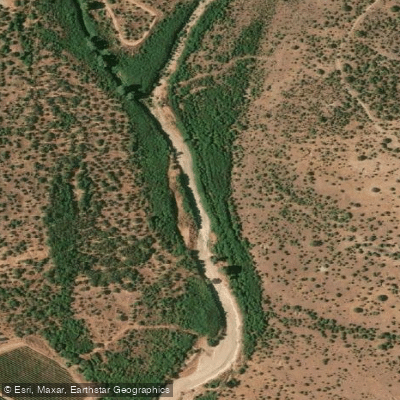
Estero Las Cadenas
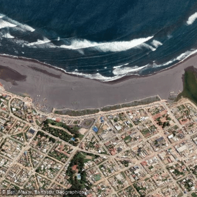
Playa Principal
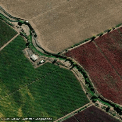
Estero Nilahue
Explore O'higgins waters
Top paddling waters
No waters available right now.
Popular Cities
Loading popular cities...
Explore near Estero De Nilahue

Smarter Paddling Starts in the App.
Paddleways gives you everything you need to plan smarter, paddle better, and own every trip from first launch to takeout.