Estero Paredones
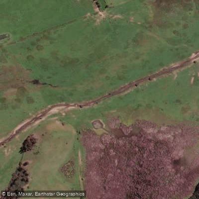
Estero Paredones
- Boat Ramps
- 0
- Access Points
- 0
- Campsites
- 0
Estero Paredones is a small coastal stream in the O'Higgins Region of Chile, originating near the town of the same name from the confluence of Estero Membrillo and Estero de La Población. It flows through a narrow valley in the Cordillera de la Costa, initially trending southwest before shifting northwest and then due west, ultimately emptying into the Pacific Ocean via laguna Bucalemu at the beach resort of Bucalemu. The stream's own length is approximately 15 km, though the full drainage from its longest tributary extends to about 27 km. The watershed covers a total area of 205 km².
The mouth of the estero at Bucalemu serves as a tourist destination, which suggests some level of visitor infrastructure in that area, though specific paddling facilities are not known. The laguna Bucalemu, situated immediately adjacent to the ocean at the stream's terminus, represents the most notable geographical feature along the route and would likely be the focal point of any paddling activity on this waterway.
Given the limited length of the stream and its coastal setting within the hills of the Cordillera de la Costa, paddling here would involve a relatively short, low-gradient waterway passing through a narrow valley before opening into the coastal lagoon. Beyond these basic geographical and hydrological facts, detailed particulars specific to paddling — including access points, hazards, water temperature, water quality, seasonal flow conditions, and any applicable regulations — are not widely known. Paddlers considering a trip on Estero Paredones should seek local knowledge or contact regional authorities before planning a visit.
Water access, boat ramps & amenities
Learn how to get on Estero Paredones. Uncover great paddling access points, boat ramps, and all the facilities you need for an unforgettable day on the water. Some locations shown may border or include private property. Always check property boundaries and applicable regulations before visiting. PaddleWays's Public & Private Land layer can help you plan your access with confidence.
Paddle smarter with real-time insights
Whether you're en route and conditions shift or you're looking for the best spot based on current flows, we enable you to make informed decisions on the fly.







O'higgins licenses and regulations
No licenses or regulations available for O'higgins.
Find Places to Paddle

Over 400,000 Places to Paddle
Every user gets free access to launch points, boat ramps, and public property parcels.


Water and weather conditions (10 day forecast)
See the best times to paddle Estero Paredones and check the forecast before you go.
No forecast data available.
Paddling near Estero Paredones
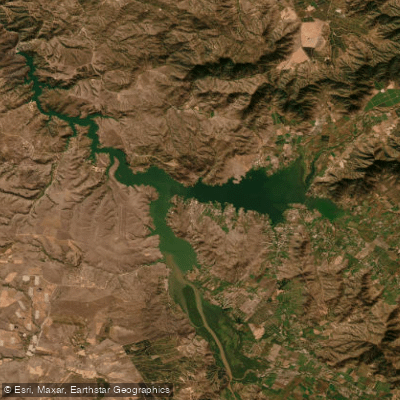
Lago Rapel
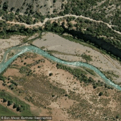
Rio Cachapoal
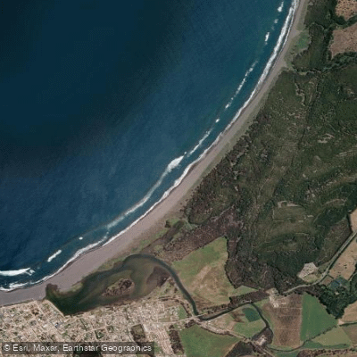
Playa San Antonio
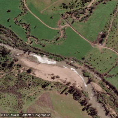
Estero De Nilahue
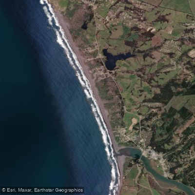
Playa La Pancora
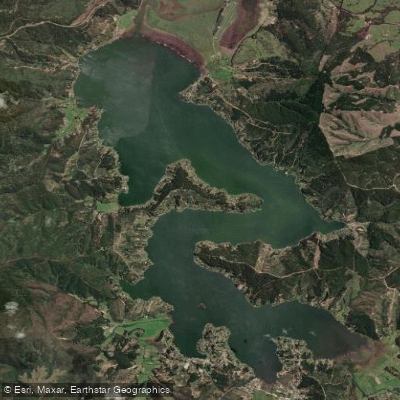
Lago Vichuquén
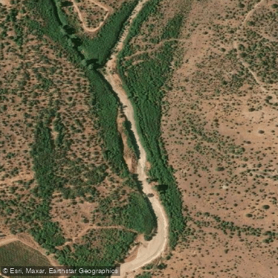
Estero Las Cadenas
Playa Principal
Estero Nilahue
Explore O'higgins waters
Top paddling waters
No waters available right now.
Popular Cities
Loading popular cities...
Explore near Estero Paredones
Access points
Nearby waters
More in O'higgins

Smarter Paddling Starts in the App.
Paddleways gives you everything you need to plan smarter, paddle better, and own every trip from first launch to takeout.