Paddling in Bernardo O'Higgins National Park
- National Park
- Lakes
- 34
- Rivers
- 4
- Access
- 6
- Boat Ramps
- 0
- Shops
- 0
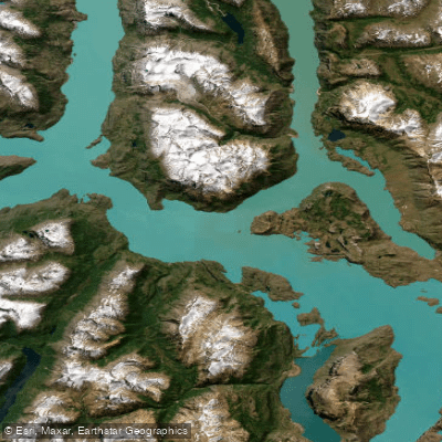
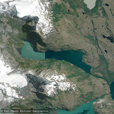
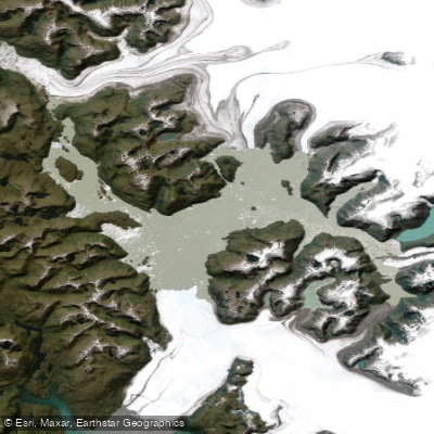
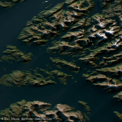
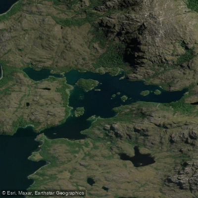
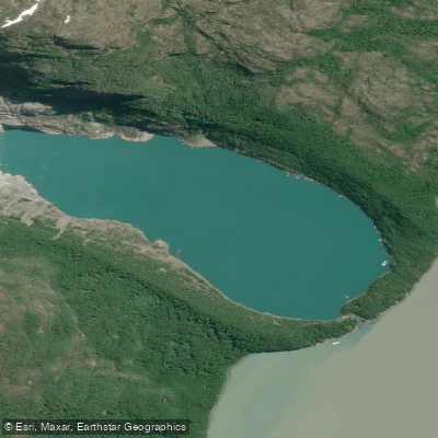
Bernardo O'Higgins National Park holds some of the most remote paddling water in South America.
Chile's largest protected area — 35,000 square kilometers of fjords, glaciers, and ice-fed rivers along the Southern Patagonian Ice Field — is reached by boat from Puerto Natales to the south or from Villa O'Higgins and Tortel to the north.
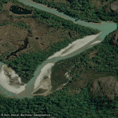
The water here is not a backdrop; it is the primary means of travel. The Río Serrano is the park's most-paddled corridor.
It flows from Torres del Paine into Bernardo O'Higgins, and the standard route runs downstream toward the Última Esperanza Sound — a glacially carved channel that opens to tidal water near the Serrano Glacier.
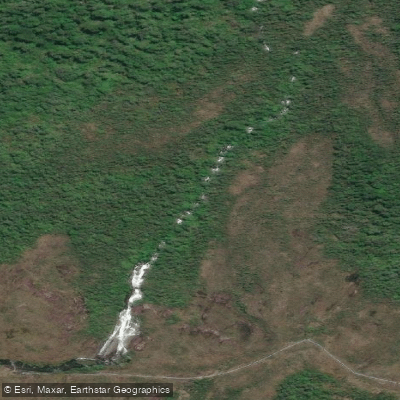
The river includes at least one portage, a roughly 50-meter carry around a waterfall, before the current eases into the fjord.
Guided expeditions typically rate this stretch at a moderate level, and the full run to the sound takes most paddlers the better part of a day. The Tyndall Glacier and the Geike Range are visible from the water.
Where the Río Serrano meets the Última Esperanza Sound, the character of the paddling shifts from river to sea.
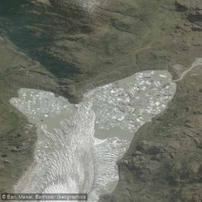
The Serrano Glacier calves directly into these waters, and the Balmaceda hanging glacier — above a peak that stands at 2,035 meters — is visible from the fjord.
Conditions here are tidal and exposed; Patagonian wind can build quickly, and sea kayak skills matter more than river technique. The southern section of the park is the most accessible and most paddled.
The northern reaches, including Lago O'Higgins / Lago San Martín, are approached from Villa O'Higgins and represent a far more committing undertaking — the park's scale and lack of infrastructure mean that multi-day water travel in that zone requires serious logistical planning and self-sufficiency.
Patagonian weather defines every trip here regardless of season. Even in summer, rain, wind, and cold are routine rather than exceptional. Dry suits, not wetsuits, are the appropriate gear.
The park's remoteness means that guided operators running permitted expeditions carry safety equipment and local knowledge that independent paddlers would need to replicate carefully.
Check current entry and permit requirements directly with the park before planning any overnight water route.
Water and weather conditions (10 day forecast)
See the best times to paddle Bernardo O'Higgins National Park and check the forecast before you go.
No forecast data available.
Paddle smarter with real-time insights
Whether you're en route and conditions shift or you're looking for the best spot based on current flows, we enable you to make informed decisions on the fly.







Paddling near Bernardo O'Higgins National Park
Loading...
Gateway towns
Where to base yourself for paddling in Bernardo O'Higgins National Park.
- Puerto NatalesMagallanes
Main gateway; boat tours to Balmaceda and Serrano glaciers depart from Puerto Bories here.
- Villa O'HigginsAysén
Southern end of the Carretera Austral and a key port of entry to the park's Southern Icefield glaciers.
- TortelAysén
Riverside boardwalk village at the mouth of the Baker River serving as a northern access point to the park.
Explore Bernardo O'Higgins National Park
Top paddling waters
Popular Cities
Loading popular cities...

Smarter Paddling Starts in the App.
Paddleways gives you everything you need to plan smarter, paddle better, and own every trip from first launch to takeout.