Lago O'Higgins / Lago San Martín
Lago O'Higgins / Lago San Martín
- Boat Ramps
- 0
- Access Points
- 2
- Campsites
- 0
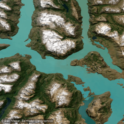
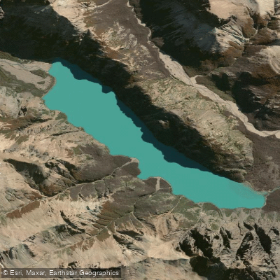
Lago O'Higgins, known as Lago San Martín on the Argentine side of the border, is a glacially formed lake situated in the Aysén del General Carlos Ibáñez del Campo Region of Chilean Patagonia, at an elevation of 255 meters in the Patagonian Andes. With a total surface area of 1,013 km², approximately 525–554 km² lie within Chilean territory. The lake reaches a maximum depth of 836 meters, making it the deepest lake in the Americas, and its catchment area spans 12,895 km². Its primary inflow is the Mayer River, and it drains via the Pascua River.
The lake's geography is notably irregular, subdivided into eight distinct arms extending in different directions. This complex shape, combined with the surrounding mountains, glaciers, and the O'Higgins Glacier flowing directly into the lake on the Chilean side, creates an environment of considerable scale and remoteness. The waters carry a pronounced turquoise color derived from glacial meltwater.
Wind is a serious and persistent hazard on this lake. Conditions are described as very dangerous for navigation due to strong winds that blow with near-constant intensity. Paddlers should treat this as a primary safety consideration when planning any route. The surrounding terrain offers no road access on the cross-border route toward Argentina; the only passage is on foot or horseback.
The principal access point on the Chilean side is Villa O'Higgins, a small settlement of roughly 600 inhabitants founded in 1966. It is the southernmost town on the Carretera Austral and serves as the main gateway to the lake. The surrounding landscape is characterized by volcanic rock formations, snow-capped peaks, and an almost complete absence of human infrastructure beyond Villa O'Higgins itself.
The lake's original Tehuelche name is reported as Charre. It was named O'Higgins in Chile in honor of Bernardo O'Higgins and San Martín in Argentina in honor of José de San Martín, reflecting the binational character of this body of water. The combination of extreme depth, glacial inflows, persistent strong winds, and profound isolation makes this one of the most demanding and remote paddling environments in South America.
Water access, boat ramps & amenities
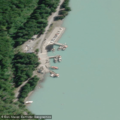
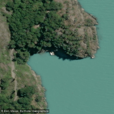
Learn how to get on Lago O'Higgins / Lago San Martín. Uncover great paddling access points, boat ramps, and all the facilities you need for an unforgettable day on the water. Some locations shown may border or include private property. Always check property boundaries and applicable regulations before visiting. PaddleWays's Public & Private Land layer can help you plan your access with confidence.
Paddle smarter with real-time insights
Whether you're en route and conditions shift or you're looking for the best spot based on current flows, we enable you to make informed decisions on the fly.







Aysén licenses and regulations
No licenses or regulations available for Aysén.
Find Places to Paddle

Over 400,000 Places to Paddle
Every user gets free access to launch points, boat ramps, and public property parcels.


Water and weather conditions (10 day forecast)
See the best times to paddle Lago O'Higgins / Lago San Martín and check the forecast before you go.
Lago San Martín - Brazo Chacab
All Flow Stations
Paddling near Lago O'Higgins / Lago San Martín
Río Baker
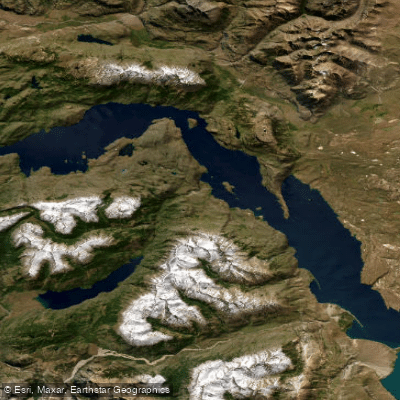
Lago Cochrane / Lago Pueyrredón
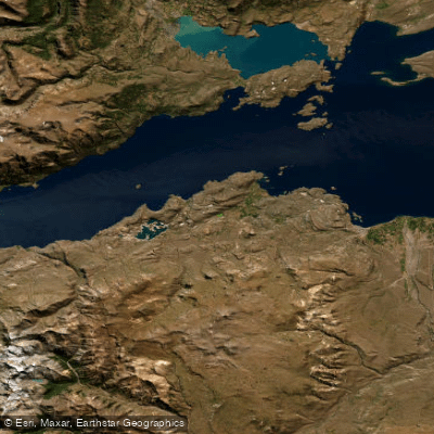
Lago General Carrera / Lago Buenos Aires
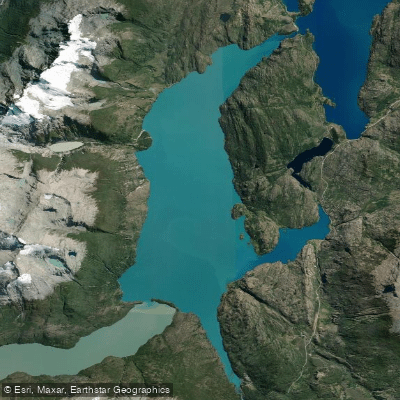
Lago Bertrand
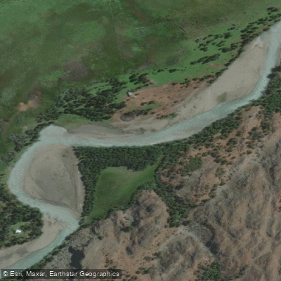
Río Tranquilo
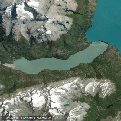
Lago Plomo
Rio Blanco
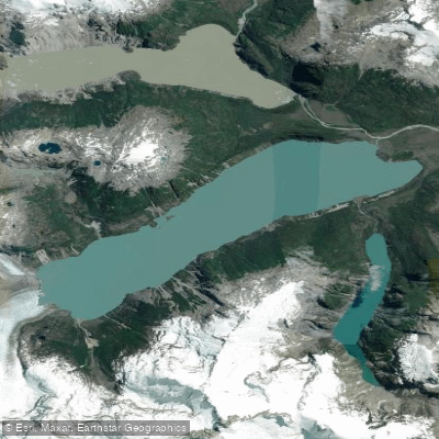
Lago Leones
Río Blanco
Lago Verde
Explore Aysén waters
Top paddling waters
No waters available right now.
Popular Cities
Loading popular cities...
Explore near Lago O'Higgins / Lago San Martín

Smarter Paddling Starts in the App.
Paddleways gives you everything you need to plan smarter, paddle better, and own every trip from first launch to takeout.