Paddling in Conguillío National Park
- National Park
- Lakes
- 6
- Rivers
- 3
- Access
- 0
- Boat Ramps
- 0
- Shops
- 0
Conguillío sits about 75 miles east of Temuco in the Araucanía Region, shaped almost entirely by Llaima Volcano — one of the most active in Chile.
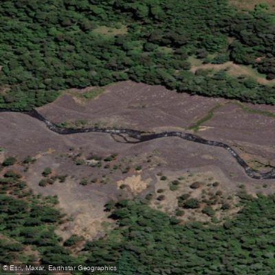
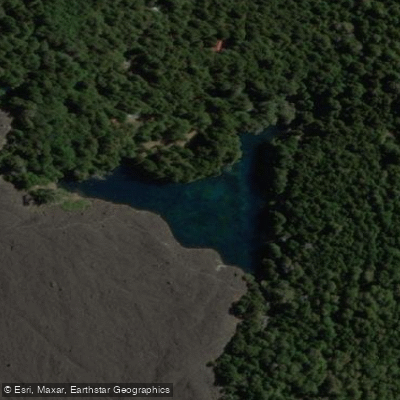
Historic lava flows dammed rivers and carved out the park's lakes, so the water here is volcanic in origin and character.
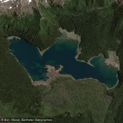
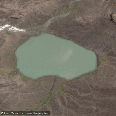
The paddling is calm and scenic rather than technical: this is flatwater country, framed by ancient araucaria forests and the twin-peaked cone of Llaima rising above the shoreline. Lago Conguillío is the park's main paddling destination.
The lake sits in the Sector del Lago Conguillío and is accessible from Melipeuco, roughly an hour's drive away.
Guided kayak trips run October through April — the warmer, drier half of the year — and typically last a full day, with views across the water toward Llaima and the Sierra Nevada volcanoes.
The lake's rocky beaches and clear water make it a reasonable place for beginners; guided operations list the activity level as moderate and the skill level as beginner, and they provide full equipment including spray skirt, life jacket, and paddling jacket.
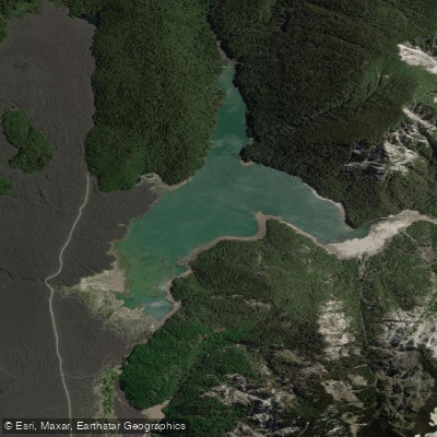
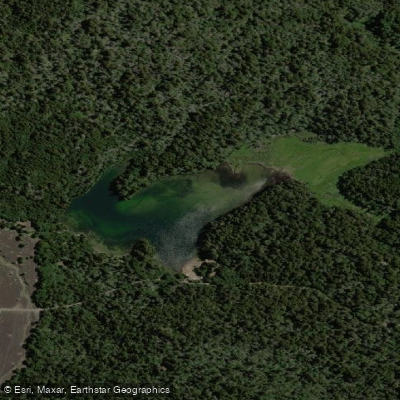
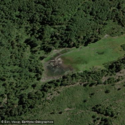
Laguna Verde is a smaller lake within the park, also formed by lava damming — compact and quiet, tucked into the volcanic landscape. Check with CONAF, the park's managing agency, before launching. Río Truful Truful runs through the park as well.
Because Conguillío is a protected national park and part of the UNESCO Araucarias Biosphere Reserve, the usual Chilean rules are layered with park-specific requirements.
The park entrance fee is separate from any guided activity cost — operators note it explicitly as not included in some packages. Stay on authorized trails, leave no trace, and respect conservation zones; these aren't suggestions here, they're park conditions.
Check directly with CONAF for current regulations before you go, particularly if you're planning to paddle independently rather than with a licensed guide. The water in Conguillío won't test your roll.
What it will do is put you on a volcanic lake in one of the more geologically alive landscapes in South America, with araucarias — trees that predate most of what we think of as wilderness — lining the shore above you.
Water and weather conditions (10 day forecast)
See the best times to paddle Conguillío National Park and check the forecast before you go.
No forecast data available.
Paddle smarter with real-time insights
Whether you're en route and conditions shift or you're looking for the best spot based on current flows, we enable you to make informed decisions on the fly.







Paddling near Conguillío National Park
Loading...
Gateway towns
Where to base yourself for paddling in Conguillío National Park.
- MelipeucoAraucanía
Southern gateway town with lodging and services; the main access point for Sector Lago Conguillío and its hiking and kayaking.
- CuracautínAraucanía
Northern gateway town serving the park's northern entrance, with lodging and outfitter services for visitors approaching from that side.
- CherquencoAraucanía
Small town on the western access road to Sector Los Paraguas, the park's winter ski sector.
Explore Conguillío National Park
Top paddling waters
Popular Cities
Loading popular cities...

Smarter Paddling Starts in the App.
Paddleways gives you everything you need to plan smarter, paddle better, and own every trip from first launch to takeout.