Lago Conguillío
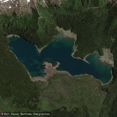
Lago Conguillío
- Boat Ramps
- 0
- Access Points
- 0
- Campsites
- 3
Lago Conguillío sits at 1,122 meters above sea level within Conguillío National Park in the Araucanía Region of Chile, covering a surface area of 7.8 km² (approximately 1,900 acres). The lake was formed by the damming of the Trufultruful River, caused by a lava flow from Llaima Volcano, giving it a distinctly volcanic origin. Its primary outflow is underground rather than through a surface river. The lake is framed by ancient araucaria forests, lava fields, and views of both Volcán Llaima — one of the most active volcanoes in South America, with its last eruption in 2008 — and the Sierra Nevada range, which rises from the lake's eastern tip.
Kayak rentals are available within the park during the summer season, generally through mid-autumn depending on weather conditions. The park also offers boat rentals. Paddling is most accessible during the summer and the warmer parts of spring and autumn; some access routes require 4×4 vehicles in winter, and the northern entrance at Laguna Captrén closes during the winter months. The southern access via Melipeuco (approximately 120 km from Temuco) and the northern access via Curacautín (approximately 85 km from Temuco) are the two main entry points to the park. Roads in the final approaches to park reception areas are gravel, steep, and of variable quality.
The park provides camping sites, cabins, picnic areas, and food sales during the summer season. A CONAF information booth is located near the lake. The Sierra Nevada trail begins from the eastern tip of the lake and ascends into the Sierra Nevada range, offering broad views across the park. The Los Carpinteros trail, 7 km in length, connects the lake area to Laguna Captrén.
Condors, black woodpeckers, and a range of bird species endemic to Chile are found within the park. Pumas are present, though rarely seen. The surrounding forest transitions through spectacular autumn colors — yellow, orange, and red — making the lake particularly striking in that season. As part of a protected national park and UNESCO Biosphere Reserve, visitors are required to respect marked trails and leave no trace.
Water access, boat ramps & amenities
Learn how to get on Lago Conguillío. Uncover great paddling access points, boat ramps, and all the facilities you need for an unforgettable day on the water. Some locations shown may border or include private property. Always check property boundaries and applicable regulations before visiting. PaddleWays's Public & Private Land layer can help you plan your access with confidence.
Paddle smarter with real-time insights
Whether you're en route and conditions shift or you're looking for the best spot based on current flows, we enable you to make informed decisions on the fly.







La Araucanía licenses and regulations
No licenses or regulations available for La Araucanía.
Find Places to Paddle

Over 400,000 Places to Paddle
Every user gets free access to launch points, boat ramps, and public property parcels.


Water and weather conditions (10 day forecast)
See the best times to paddle Lago Conguillío and check the forecast before you go.
No forecast data available.
Paddling near Lago Conguillío
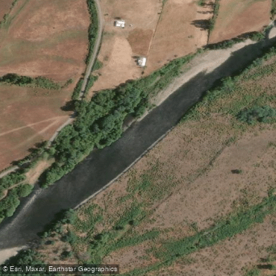
Río Cautín
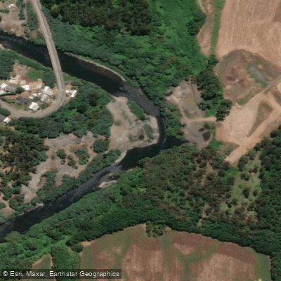
Río Quepe
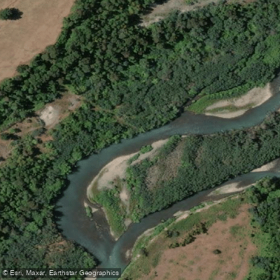
Río Allipén

Río Toltén
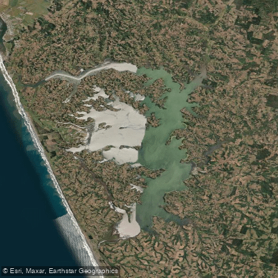
Lago Budi
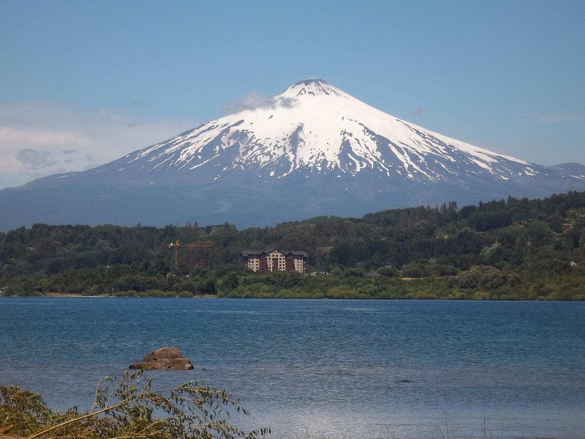
Lago Villarrica
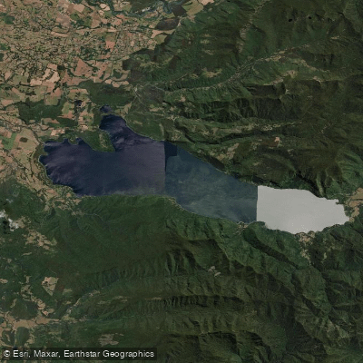
Lago Colico
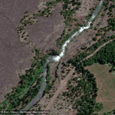
Río Truful Truful
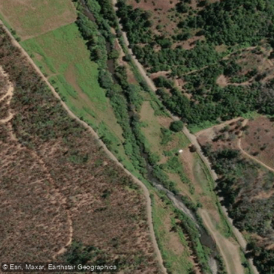
Río Lumaco
Río Llaima
Explore La Araucanía waters
Top paddling waters
No waters available right now.
Popular Cities
Loading popular cities...
Explore near Lago Conguillío
Access points
Nearby waters
More in La Araucanía

Smarter Paddling Starts in the App.
Paddleways gives you everything you need to plan smarter, paddle better, and own every trip from first launch to takeout.