Paddling in Hornopirén National Park
- National Park
- Lakes
- 2
- Rivers
- 5
- Access
- 0
- Boat Ramps
- 0
- Shops
- 0
Hornopirén National Park sits in Chile's Los Lagos province, roughly 105 kilometers south of Puerto Montt, where the Andes meet a coastline of fjords and the Comau fjord forms the park's western boundary.
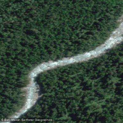
The water here is not one thing: it ranges from the still surface of high lakes to glacier-fed rivers running turquoise and milky through dense alerce and valdivian rainforest.
Getting to the park itself takes about four hours from Puerto Montt via the Carretera Austral, crossing the Reloncaví estuary at Puelche before continuing through Hornopirén and up toward the park boundary.
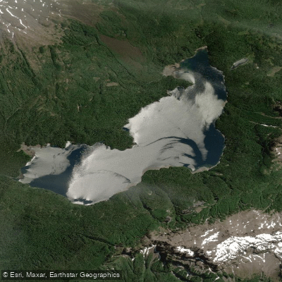
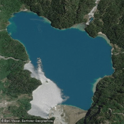
Lago General Pinto Concha is the park's central lake, and the ranger station on its southeast shore operates in January and February — the window when conditions and access are most reliable.
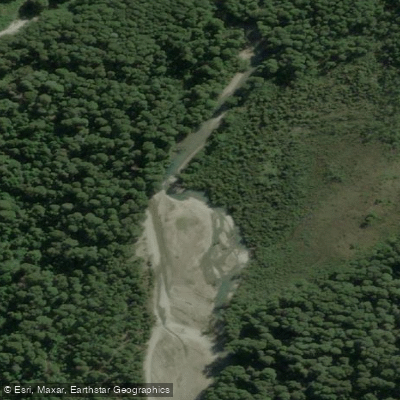
The lake is the headwater of the Río Negro, which flows north out of the park past the park's edge. The park also contains Lago Inexplorado, whose name signals how little documented paddling exists on it.
Both lakes sit within a landscape that receives rain year-round, so water levels stay relatively consistent, but summer — roughly mid-January through March — is when the weather is most workable and the ranger presence makes logistics easier.
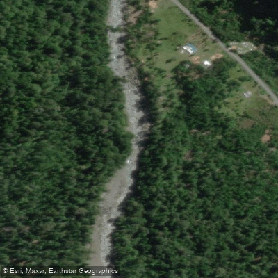
Outside the park boundary but closely associated with it, the Río Blanco runs glacier-sourced and distinctively milky blue-green. It draws rafters and kayakers, and guided whitewater trips operate out of the town of Hornopirén.
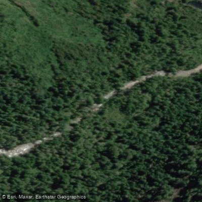
The Río Negro and smaller drainages like the Traidor, Esperanza, and Choigo are also paddled and fished in the broader area, though these lie on or beyond the park's edge rather than within it.
Because this is a protected area under CONAF administration, visitors are expected to sign the park's guestbook and declare their intended activities at the administration office in Hornopirén before heading in.
Check directly with CONAF for current rules on camping, fires, and any permits required for overnight or water-based travel — the ranger station at Lago General Pinto Concha is the place to ask once you're inside.
The park's remoteness is not incidental; it's the condition the water exists in.
Top waters to paddle near Hornopiren National Park
Water and weather conditions (10 day forecast)
See the best times to paddle Hornopirén National Park and check the forecast before you go.
No forecast data available.
Paddle smarter with real-time insights
Whether you're en route and conditions shift or you're looking for the best spot based on current flows, we enable you to make informed decisions on the fly.







Paddling near Hornopirén National Park
Loading...
Gateway towns
Where to base yourself for paddling in Hornopirén National Park.
- HornopirénLos Lagos
The park's gateway town, with the CONAF administration office, local guides, lodging, restaurants, and the only road access to the park.
- Puerto MonttLos Lagos
The regional hub where most visitors start, with the nearest airport and bus connections before the ferry crossing toward Hornopirén.
Explore Hornopirén National Park
Top paddling waters
Popular Cities
Loading popular cities...

Smarter Paddling Starts in the App.
Paddleways gives you everything you need to plan smarter, paddle better, and own every trip from first launch to takeout.