Lago General Pinto Concha
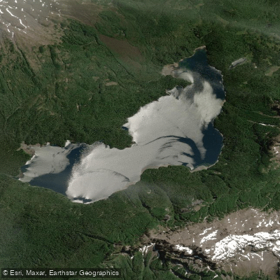
Lago General Pinto Concha
- Boat Ramps
- 0
- Access Points
- 0
- Campsites
- 1
Lago General Pinto Concha is a 475-hectare lake situated at 894 meters elevation within Parque Nacional Hornopirén, in the comuna of Hualaihué, Los Lagos Region. Its coordinates place it at approximately 41°50′S, 72°19′W. The lake sits within the drainage basin of the río Negro (Hornopirén) and drains subterraneously rather than through a surface outlet, an unusual hydrological characteristic. It was absent from older cartographic records, including the 1945 Instituto Geográfico Militar map at 1:500,000 scale, and only appears on more recent mapping.
Access to the lake requires a trek of roughly 9.5 to 13 kilometers one way (figures vary due to GPS differences), with the total round trip covering approximately 19 kilometers. The approach involves approximately 7 kilometers of private land before reaching the park boundary, followed by a further 2.5 kilometers inside Parque Nacional Hornopirén to reach the lake. The trail is characterized by significant mud and exposed roots, making sturdy trekking boots and gaiters strongly advisable. The overall trek is rated high difficulty and typically takes around 10 hours. Visitors are required to register at the CONAF ranger station; no entry fee is charged, though stopping at the registration post is expected. Rangers are present year-round.
The surrounding landscape is dominated by dense Alerce forest, one of the most notable features of the approach route. The lake itself is described as having clear water and lush surrounding forest. Wildlife in the area includes a variety of bird species. The lake is located along the Carretera Austral corridor, accessible from the town of Hornopirén, which has fuel and ATM services. Reaching Hornopirén involves approximately 54 kilometers of gravel road from Puelche, and a ferry crossing (barcaza) from Caleta La Arena is part of the standard approach route from the north.
Given the high-difficulty, multi-hour approach on a muddy trail at nearly 900 meters elevation, any paddling activity at this lake would require carrying equipment the full distance of the trek. No paddling-specific infrastructure, launch points, or regulations are documented for the lake.
Water access, boat ramps & amenities
Learn how to get on Lago General Pinto Concha. Uncover great paddling access points, boat ramps, and all the facilities you need for an unforgettable day on the water. Some locations shown may border or include private property. Always check property boundaries and applicable regulations before visiting. PaddleWays's Public & Private Land layer can help you plan your access with confidence.
Paddle smarter with real-time insights
Whether you're en route and conditions shift or you're looking for the best spot based on current flows, we enable you to make informed decisions on the fly.







Los Lagos licenses and regulations
No licenses or regulations available for Los Lagos.
Find Places to Paddle

Over 400,000 Places to Paddle
Every user gets free access to launch points, boat ramps, and public property parcels.


Water and weather conditions (10 day forecast)
See the best times to paddle Lago General Pinto Concha and check the forecast before you go.
No forecast data available.
Paddling near Lago General Pinto Concha
Río Maullín
Lago Llanquihue
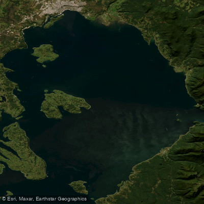
Seno de Reloncaví
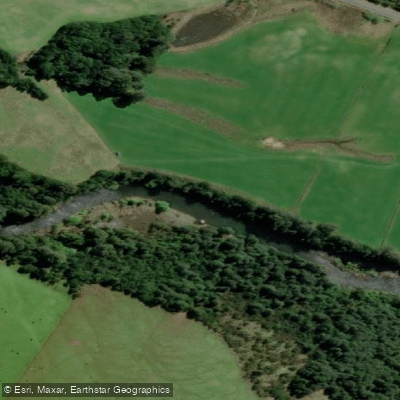
Río Chamiza
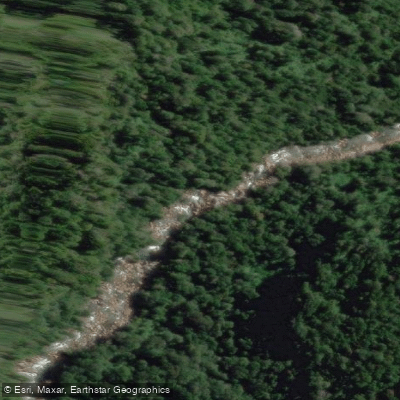
Río Cochamó
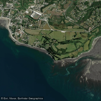
Playa Pelluhuin
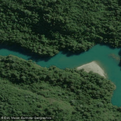
Río Puelo
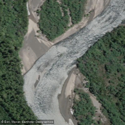
Río Petrohué
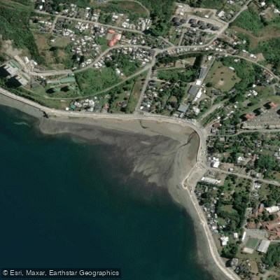
Playa Pelluco
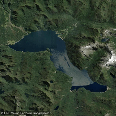
Lago Chapo
Explore Los Lagos waters
Top paddling waters
No waters available right now.
Popular Cities
Loading popular cities...
Explore near Lago General Pinto Concha
Access points
Nearby waters
More in Los Lagos

Smarter Paddling Starts in the App.
Paddleways gives you everything you need to plan smarter, paddle better, and own every trip from first launch to takeout.