Paddling in Parque Nacional Yendegaia
- National Park
- Lakes
- 8
- Rivers
- 14
- Access
- 0
- Boat Ramps
- 0
- Shops
- 0
Parque Nacional Yendegaia occupies the southern edge of Isla Grande de Tierra del Fuego, stretching from the Beagle Channel north toward the Cordillera Darwin.
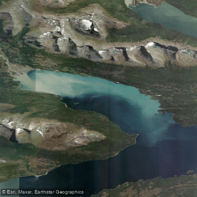
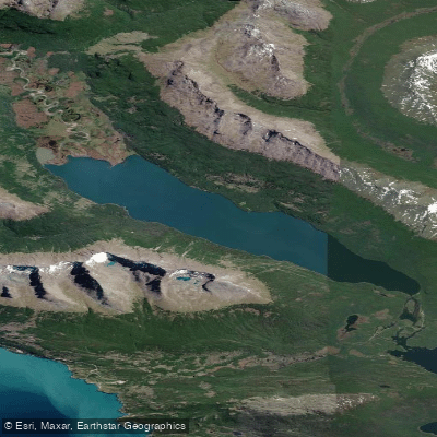
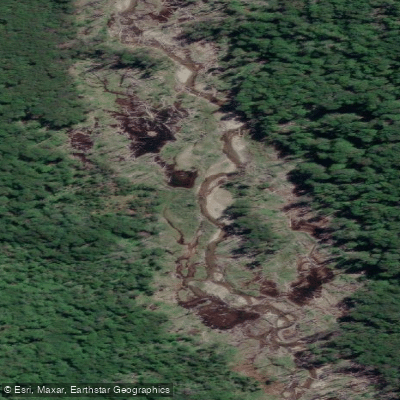
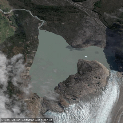
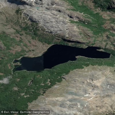
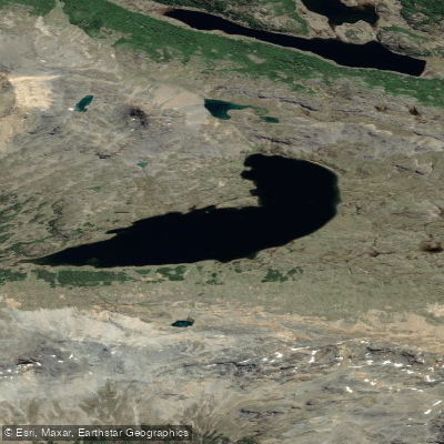
The water here is not one thing: the park holds glaciers and ice fields that drain into fjords and channels, rivers threading through sub-Antarctic forest, and lakes framed by mountains.
It is remote terrain in every sense — the park currently has no road access, and CONAF lists it as a park without visitor services or public infrastructure.
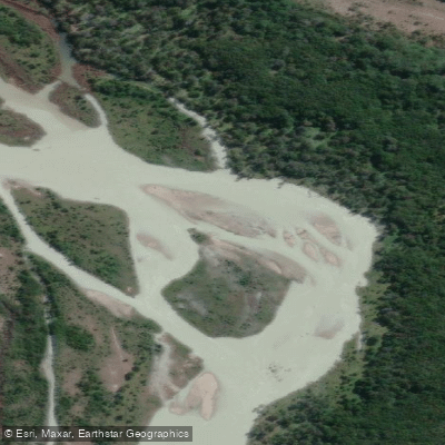
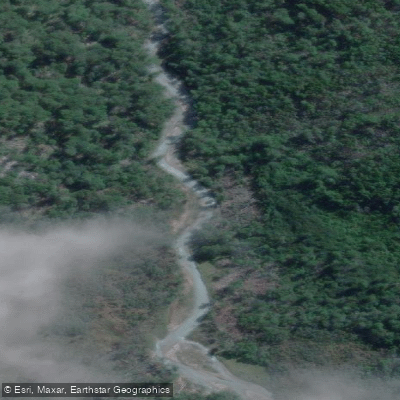
The Río Azopardo is the most significant river named within the park's geography, connecting Lago Fagnano to the Almirantazgo Sound. That corridor — lake to sound — defines the main hydrological axis of the area.
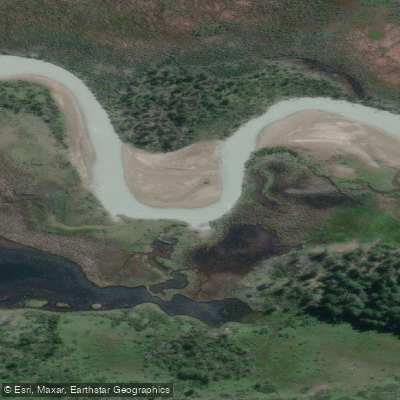
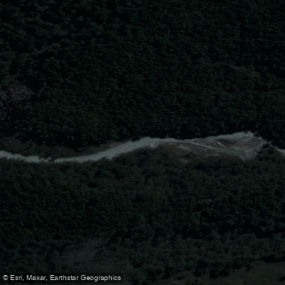
The Río Sáez is another named watercourse inside the park, known from trail routes along its banks.
The coastal margins are shaped by fjords and channels, the same waterways the Yagán people traveled for generations, and glaciers including the Serrano and Stoppani feed directly into this network.
Because the park has no land access and no visitor infrastructure, reaching any of these waters requires arriving by sea or air. There are no put-ins, portages, or campsites established by the park administration.
That is not a bureaucratic footnote — it shapes every logistical decision a paddler would make, from gear selection to emergency planning. The climate is cold, wet, and wind-driven year-round, with conditions that can change fast at this latitude.
The park was formally created in 2013 and covers 150,587 hectares across the comunas of Timaukel and Cabo de Hornos.
Before planning any paddle here, contact CONAF's Magallanes office directly — the park's status and any access conditions are subject to change as road construction toward Bahía Yendegaia (Caleta 2 de Mayo) continues.
This is water at the edge of the continent, moving through a landscape that has seen almost no recreational paddling. That fact alone should weigh on any trip plan.
Water and weather conditions (10 day forecast)
See the best times to paddle Parque Nacional Yendegaia and check the forecast before you go.
No forecast data available.
Paddle smarter with real-time insights
Whether you're en route and conditions shift or you're looking for the best spot based on current flows, we enable you to make informed decisions on the fly.







Paddling near Parque Nacional Yendegaia
Loading...
Gateway towns
Where to base yourself for paddling in Parque Nacional Yendegaia.
- PorvenirMagallanes
Main town on Chilean Tierra del Fuego with lodging options that serve as a base for reaching the park.
- Cerro SombreroMagallanes
Entry point to Tierra del Fuego via the Punta Delgada ferry crossing, on the route toward the park.
Explore Parque Nacional Yendegaia
Top paddling waters
Popular Cities
Loading popular cities...

Smarter Paddling Starts in the App.
Paddleways gives you everything you need to plan smarter, paddle better, and own every trip from first launch to takeout.