Bahía Yendegaia
- Saltwater
- Bay
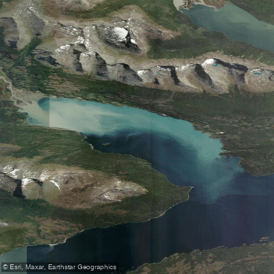
Bahía Yendegaia
- Saltwater
- Bay
- Sq. miles
- 13
- Boat Ramps
- 0
- Access Points
- 0
- Campsites
- 0
Bahía Yendegaia is a bay on the northern shore of the Canal Beagle, on the Isla Grande de Tierra del Fuego in the Magallanes region of Chile. It is part of Parque Nacional Yendegaia and the Cape Horn Biosphere Reserve. The bay's coastline has dense Magellanic forests and its western side forms part of the national park's core zone. Historically, the area was inhabited for thousands of years by the Yaghan (Yámana) people, a canoeing culture who navigated these coastal waters in canoes made from Coigüe bark. Access for paddlers is currently limited as there is no public road access to the bay. The primary planned access point is Caleta 2 de Mayo within the bay, which is the terminus for the under-construction Ruta Y-85 road. Once completed, this road will provide terrestrial access from the north, but currently, the park can only be reached by boat or air. A future ferry service, the Aunashaka barge, is planned to connect Caleta 2 de Mayo with Isla Navarino, a crossing estimated to take four hours. As a bay opening directly into the Canal Beagle, paddlers must be prepared for significant exposure to the open, often harsh conditions of this major channel. Winds can be strong and fetch can be considerable, creating challenging paddling conditions and potential surf zones at the bay's entrance. Tidal currents from the Beagle Channel will significantly influence travel, requiring careful tide planning. The water is cold year-round, typical of sub-Antarctic latitudes. There are no described facilities or amenities for paddlers at the bay itself. The overall character is one of remote, pristine wilderness with high ecological and cultural value, offering a challenging expedition-style paddling experience for those who can arrange the complex logistical access.
Water access, boat ramps & amenities
Learn how to get on Bahía Yendegaia. Uncover great paddling access points, boat ramps, and all the facilities you need for an unforgettable day on the water. Some locations shown may border or include private property. Always check property boundaries and applicable regulations before visiting. PaddleWays's Public & Private Land layer can help you plan your access with confidence.
Paddle smarter with real-time insights
Whether you're en route and conditions shift or you're looking for the best spot based on current flows, we enable you to make informed decisions on the fly.







Magallanes licenses and regulations
No licenses or regulations available for Magallanes.
Find Places to Paddle

Over 400,000 Places to Paddle
Every user gets free access to launch points, boat ramps, and public property parcels.


Tides, wind & water conditions (10 day forecast)
On open water, wind and tide matter as much as the weather. See the best times to paddle Bahía Yendegaia and check the marine forecast before you launch.
Loading tide predictions…
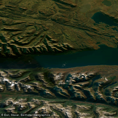
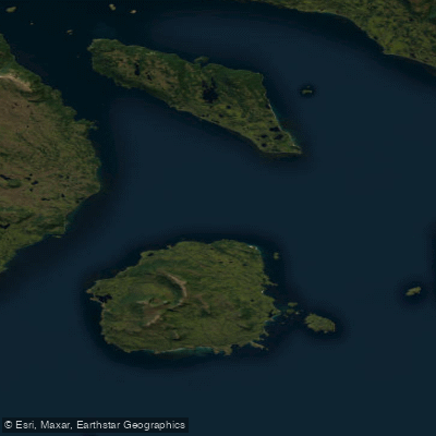
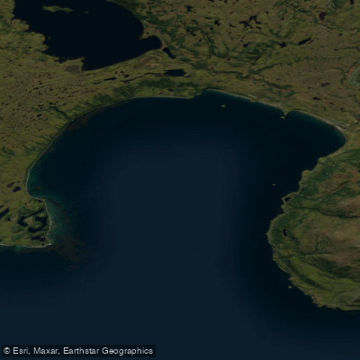
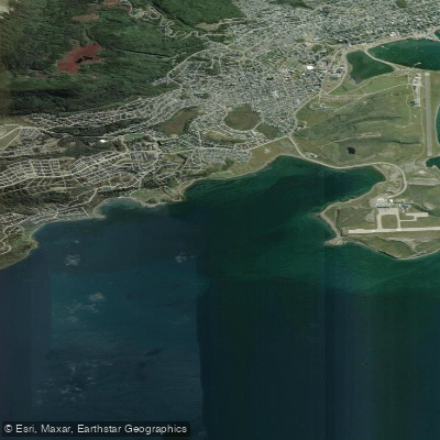
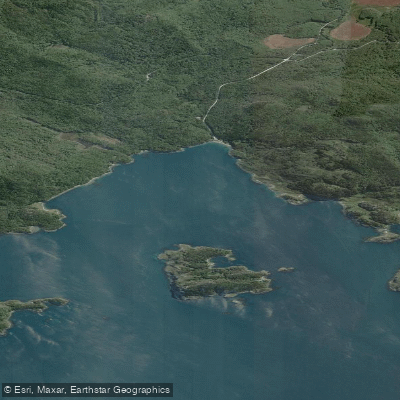
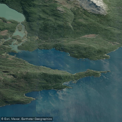
Explore Magallanes waters
Top paddling waters
No waters available right now.
Popular Cities
Loading popular cities...
Explore near Bahía Yendegaia
Nearby waters
More in Magallanes

Smarter Paddling Starts in the App.
Paddleways gives you everything you need to plan smarter, paddle better, and own every trip from first launch to takeout.