Paddling in North York Moors National Park
- National Park
- Lakes
- 16
- Rivers
- 319
- Access
- 0
- Boat Ramps
- 0
- Shops
- 0
The North York Moors sits in the north-east of England, a high moorland plateau cut by steep-sided valleys that drain east toward the coast.
The water here is almost entirely river water — small, spate-fed becks and dales rivers that rise quickly after rain and drop just as fast. There are no significant lakes or reservoirs inside the park boundary.
This is beck country, and the paddling follows that character: intimate, seasonal, and dependent on recent rainfall. The River Esk is the park's principal paddling water.
It rises on the moors and runs east through Eskdale to reach the sea at Whitby Harbour, and it is the one river in the park that appears consistently in paddling conversations.
Teesoutdoors runs canoe trips and skills sessions both on the Esk and in Whitby Harbour itself, making the lower river and harbour a practical entry point for those new to the area or new to moving water.
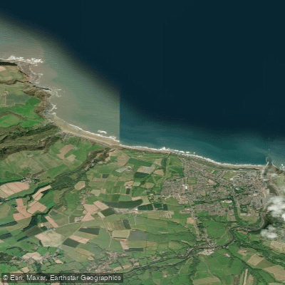
The harbour also connects the river paddling to sheltered coastal water, and the same operator runs gentle sea kayak trips from Whitby.
Beyond the Esk, the becks that lace the moors — West Beck, May Beck, Staindale Beck, Tripsdale Beck and others — are real watercourses, but their runnability is a function of spate conditions. Paddling in England requires a waterways licence.
Paddle UK membership covers this for many managed waterways in England and Wales; check whether specific stretches of the Esk or its tributaries fall under that licence or require separate access arrangements before you put in.
The park itself is not a wilderness in the North American sense — roads and villages are close, and the Esk valley is well-walked — but the rivers are genuinely small and the flows genuinely variable.
Come with flexibility, check levels before you travel, and treat the Esk as the known quantity it is while approaching the becks with appropriate caution and current local knowledge.
Top waters to paddle near North York Moors National Park
Water and weather conditions (10 day forecast)
See the best times to paddle North York Moors National Park and check the forecast before you go.
No forecast data available.
Paddle smarter with real-time insights
Whether you're en route and conditions shift or you're looking for the best spot based on current flows, we enable you to make informed decisions on the fly.







Paddling near North York Moors National Park
Loading...
Gateway towns
Where to base yourself for paddling in North York Moors National Park.
- PickeringNorth Yorkshire
Named gateway to the park, with the heritage North Yorkshire Moors Railway, lodging, and easy access to the moors.
- HelmsleyNorth Yorkshire
Main market town base on the western edge of the park, with hotels, pubs, shops, and the start of the Cleveland Way.
- WhitbyNorth Yorkshire
Coastal town just outside the park's eastern edge, offering lodging, harbour services, and access to the moorland and coast.
- Robin Hood's BayNorth Yorkshire
Coastal village within the park boundary, popular as a base for the Cleveland Way and Coast to Coast trail's eastern end.
Explore North York Moors National Park
Top paddling waters
Popular Cities
Loading popular cities...

Smarter Paddling Starts in the App.
Paddleways gives you everything you need to plan smarter, paddle better, and own every trip from first launch to takeout.