Runswick Sands
- Saltwater
- Beach
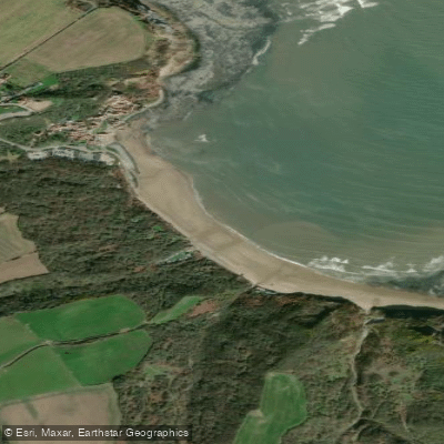
Runswick Sands
- Saltwater
- Beach
- Sq. miles
- 0.1
- Boat Ramps
- 0
- Access Points
- 0
- Campsites
- 0
Runswick Sands is a nearly mile-long sandy beach forming the southern part of Runswick Bay on the North Yorkshire coast. The beach is backed by cliffs which provide shelter from the wind, often resulting in calmer seas that are suitable for paddleboarding and kayaking. The primary launch point for paddlers is a concrete slipway at the southern end of the bay, providing direct access to the North Sea. There is a council-run car park with approximately 80 spaces, for which the daily charge is £5.30. The beach is not wheelchair accessible, and the carry from the car park to the water's edge can be significant depending on the tide. There are public toilets available. Paddleboards and kayaks are available for hire locally. The water quality is reported as good. The beach is dog-friendly and there are no seasonal lifeguard services. The area is exposed to the open North Sea, so conditions can change rapidly; paddlers should be experienced and prepared for cold water even in summer. The shallow edges and generally calm conditions within the sheltered bay are noted, but venturing beyond the bay requires careful assessment of sea state and weather. Notable sights from the water include the historic village of Runswick Bay, the Hob Holes caves in the cliffs to the south, and the dramatic headlands. The coastline southwards features fossil-rich areas like Kettleness Sands, accessible via a scramble over the rocky Hill Stones reef at low tide. There have been increased sightings of bottlenose dolphins and occasional humpback whales in the waters off the coast. A popular day trip for experienced paddlers is the coastal route south to Whitby, passing Kettleness and Sandsend along the way.
Water access, boat ramps & amenities
Learn how to get on Runswick Sands. Uncover great paddling access points, boat ramps, and all the facilities you need for an unforgettable day on the water. Some locations shown may border or include private property. Always check property boundaries and applicable regulations before visiting. PaddleWays's Public & Private Land layer can help you plan your access with confidence.
Paddle smarter with real-time insights
Whether you're en route and conditions shift or you're looking for the best spot based on current flows, we enable you to make informed decisions on the fly.








Find Places to Paddle

Over 400,000 Places to Paddle
Every user gets free access to launch points, boat ramps, and public property parcels.


Tides, wind & water conditions (10 day forecast)
On open water, wind and tide matter as much as the weather. See the best times to paddle Runswick Sands and check the marine forecast before you launch.
Loading tide predictions…
Paddling near Runswick Sands
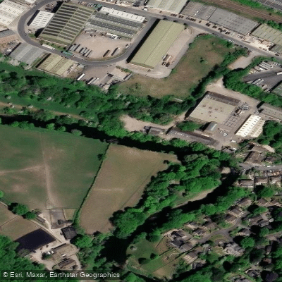
River Aire
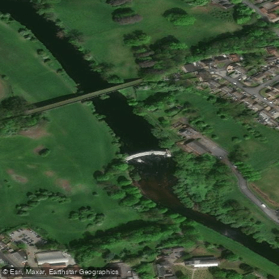
River Wharfe

HUMBER UPPER
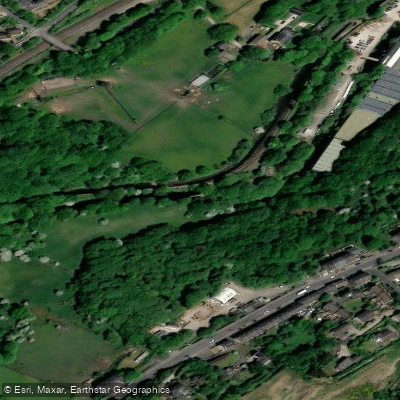
River Colne
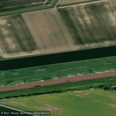
Aire and Calder Navigation

HUMBER MIDDLE

River Dearne
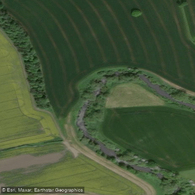
River Nidd
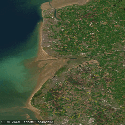
RIBBLE
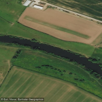
River Ouse
Explore England waters
Top paddling waters
No waters available right now.
Popular Cities
Loading popular cities...
Explore near Runswick Sands

Smarter Paddling Starts in the App.
Paddleways gives you everything you need to plan smarter, paddle better, and own every trip from first launch to takeout.