Bandon
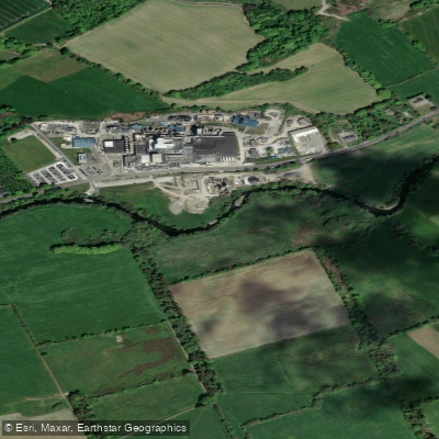
Bandon
- Boat Ramps
- 0
- Access Points
- 0
- Campsites
- 0
The Bandon River in County Cork offers two distinct paddling sections with differing character and difficulty. The Lower Bandon is graded Grade II and runs from approximately 51.7449, -8.7437 to 51.7632, -8.6555. The Upper Bandon is graded Grade II-III, with a put-in at approximately 51.7535, -9.1080 and take-out at 51.7247, -9.0984.
The Lower Bandon passes through the town of Bandon itself before opening up into more scenic countryside. A popular recreational route runs from just below the footbridge in Bandon town, near the playground, downstream to Innishannon, pulling out after the bridge there — a trip that takes roughly a couple of hours at a leisurely pace. A further extension to Kilmacsimon is possible for those with more time. The flow through the town has been canalised and offers limited character, but the river broadens and becomes more attractive once clear of the urban area. Herons are regularly seen along the banks, and the water is generally reported to be clean.
A notable hazard on the Lower Bandon is Bandon Bridge, where the current runs strong on the approach and requires careful alignment to pass cleanly. The weir at the start of this section has been rebuilt with a fish pass added. Signage at the weir prohibits paddling, though the fish pass channel is the practical route. The main weir drop involves new, sharp rocks and carries a risk of leg entrapment if a swimmer were to go in there, so it warrants caution.
Water levels are an important planning consideration on the Bandon. Both very low and very high water can make paddling impractical or hazardous — the river is prone to significant flooding, and a real-time water level gauge is available online for both the Lower and Upper sections to assist with trip planning. The river is described as useful for training on the lower stretch but offering limited scenic reward through the town itself.
Water access, boat ramps & amenities
Learn how to get on Bandon. Uncover great paddling access points, boat ramps, and all the facilities you need for an unforgettable day on the water. Some locations shown may border or include private property. Always check property boundaries and applicable regulations before visiting. PaddleWays's Public & Private Land layer can help you plan your access with confidence.
Paddle smarter with real-time insights
Whether you're en route and conditions shift or you're looking for the best spot based on current flows, we enable you to make informed decisions on the fly.







Co. Cork licenses and regulations
No licenses or regulations available for Co. Cork.
Find Places to Paddle

Over 400,000 Places to Paddle
Every user gets free access to launch points, boat ramps, and public property parcels.


Water and weather conditions (10 day forecast)
See the best times to paddle Bandon and check the forecast before you go.
Bandon
All Flow Stations
Paddling near Bandon
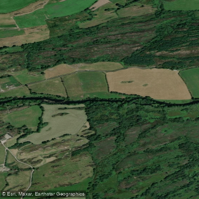
Lee [Cork]
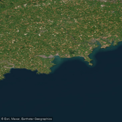
Western Celtic Sea (HAs 18;19;20)
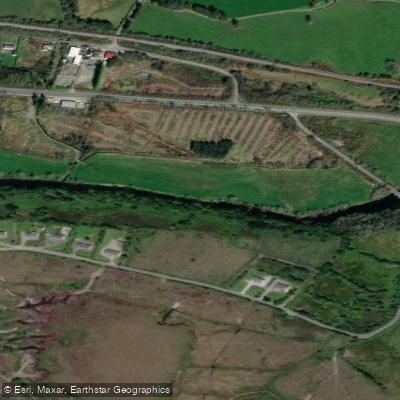
Flesk [Kerry]
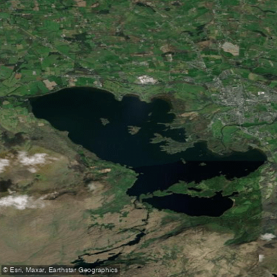
Lough Leane
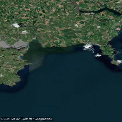
Courtmacsherry Bay
Sullane
Blackwater [Munster]
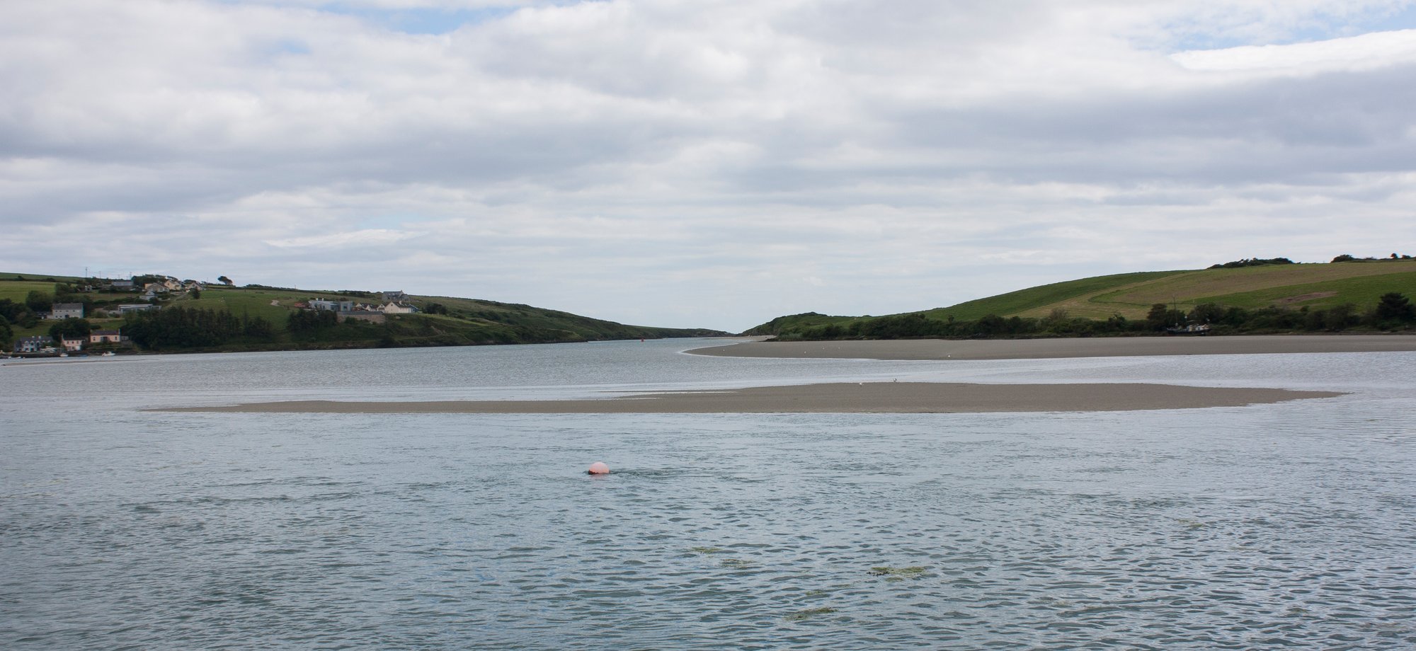
Clonakilty Bay
Inniscarra Reservoir
Explore Cork waters
Top paddling waters
No waters available right now.
Popular Cities
Loading popular cities...
Explore near Bandon

Smarter Paddling Starts in the App.
Paddleways gives you everything you need to plan smarter, paddle better, and own every trip from first launch to takeout.