Eemmeer
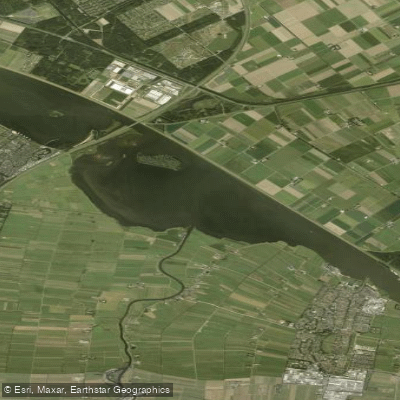
Eemmeer
- Boat Ramps
- 0
- Access Points
- 5
- Campsites
- 0
The Eemmeer is a lake of 13.4 square kilometres situated in the central Netherlands, at the junction of the provinces of Flevoland, Utrecht, and North Holland. It measures roughly 7.55 kilometres in length and up to 2.65 kilometres in width, with a surface elevation at sea level. The lake functions as one of a series of peripheral lakes that geohydrologically separate the low-lying polders of Flevoland from the higher old mainland.
The Eemmeer connects to the Gooimeer to the west, where both lakes are crossed by the A27 highway bridge, and to the Nijkerkernauw to the east. It also links to the lakes on the southern side of the Markermeer near Amsterdam. The primary inflow is the River Eem, and the broader lake system is fed by the River IJssel, a branch of the Rhine, draining ultimately toward the North Sea. Within the lake lies one small island, the Dode Hond (Dead Dog), along with five smaller islets. These islets are noted for supporting diverse birdlife and are of interest to wildlife observers on the water.
Kayaking and sailing are among the water sports practiced on the Eemmeer. The historic fishing village of Bunschoten-Spakenburg sits on the lake's shores and provides access to local amenities including shops and eateries. The area around the lake offers cycling routes along its dikes, such as the Eemmeerdijk Cycle Path, which run alongside the water and can give paddlers useful context for route planning and shore access.
The spring through early autumn period, roughly April to October, is generally considered the most suitable time for water-based activities, with summer offering the warmest conditions. Birdwatching on the water can be particularly rewarding during migration seasons. Fishing on the Eemmeer and the adjacent Nijkerkernauw yields species including northern pike, European perch, and common roach, indicating a reasonably healthy aquatic ecosystem. The lake's open, flat character is typical of Dutch peripheral lakes, with wide views across the water toward the surrounding polders and dike landscapes.
Water access, boat ramps & amenities
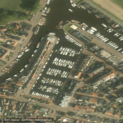
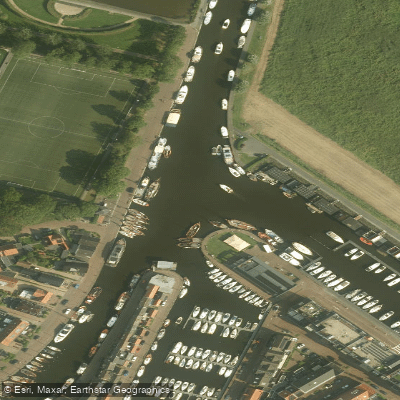
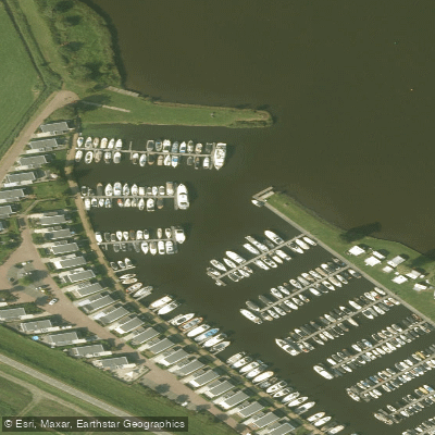
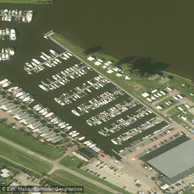
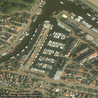
Learn how to get on Eemmeer. Uncover great paddling access points, boat ramps, and all the facilities you need for an unforgettable day on the water. Some locations shown may border or include private property. Always check property boundaries and applicable regulations before visiting. PaddleWays's Public & Private Land layer can help you plan your access with confidence.
Paddle smarter with real-time insights
Whether you're en route and conditions shift or you're looking for the best spot based on current flows, we enable you to make informed decisions on the fly.







Flevoland licenses and regulations
No licenses or regulations available for Flevoland.
Find Places to Paddle

Over 400,000 Places to Paddle
Every user gets free access to launch points, boat ramps, and public property parcels.


Water and weather conditions (10 day forecast)
See the best times to paddle Eemmeer and check the forecast before you go.
No forecast data available.
Paddling near Eemmeer
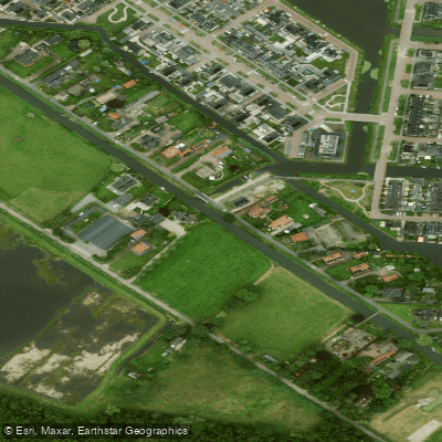
Valleikanaal
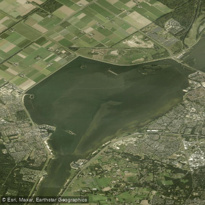
Wolderwijd
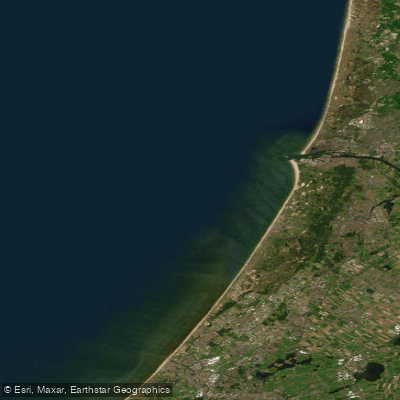
Hollandse kust (kustwater)
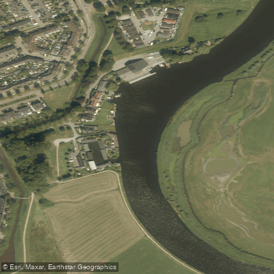
Eem
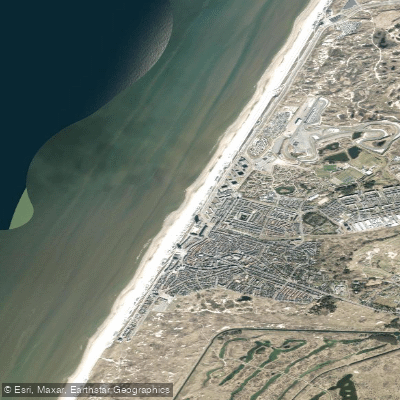
Strand Zandvoort
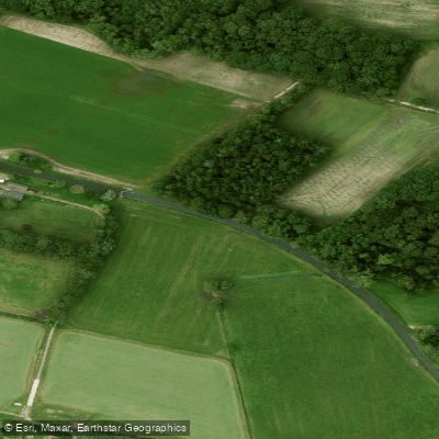
Barneveldsche Beek
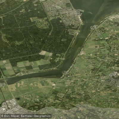
Nuldernauw
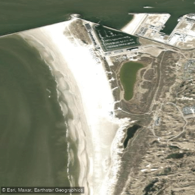
Kennemerstrand
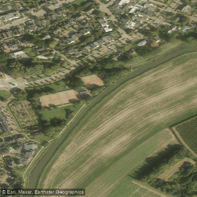
Kromme Rijn
Explore Flevoland waters
Top paddling waters
No waters available right now.
Popular Cities
Loading popular cities...
Explore near Eemmeer

Smarter Paddling Starts in the App.
Paddleways gives you everything you need to plan smarter, paddle better, and own every trip from first launch to takeout.