Kromme Rijn
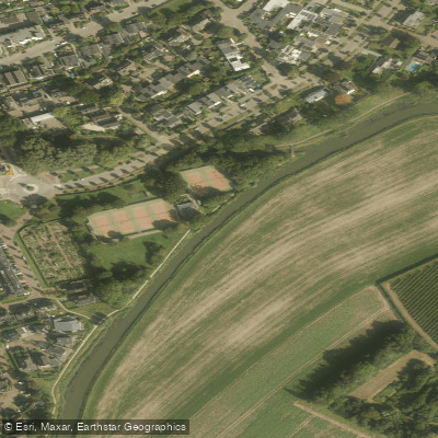
Kromme Rijn
- Boat Ramps
- 0
- Access Points
- 2
- Campsites
- 1
The Kromme Rijn is a river in the Utrecht region of the Netherlands, branching off near Wijk bij Duurstede — where the Nederrijn transitions to the Lek — and flowing westward toward the city of Utrecht. The river passes through a varied landscape that includes both natural areas and the historic urban waterways of Utrecht, making it a route that combines countryside paddling with city scenery.
Motor boats are not permitted on the Kromme Rijn without a permit, which means paddlers can expect relatively calm, quiet water largely free of motorized vessel traffic. Canoeing and kayaking are permitted under the general rules of Waterschap De Stichtse Rijnlanden, which governs this area. As with waterways throughout the Netherlands, paddlers should watch for weirs, bridges, and locks, and exercise caution around these structures.
A well-documented paddling route on the Kromme Rijn is the "Nature route Kromme Rijn" offered by operators based in Utrecht. This route covers approximately 9.4 km and takes around three to three and a half hours to complete, passing through natural areas outside the city center. The route is noted for including a picnic stop along the way and can be combined with a visit to Fort de Bilt as an optional extension. The river also connects to Utrecht's historic canal network, including the Oude Gracht and Singel, allowing paddlers to extend trips into the city center if desired.
Points of cultural and historical interest in the broader Kromme Rijn region include Duurstede Castle near Wijk bij Duurstede, described as one of the oldest medieval castles in the Netherlands, as well as the Molen Rijn en Lek windmill and an inundation lock, also near Wijk bij Duurstede. The surrounding landscape is characterized by the Utrechtse Heuvelrug and the flat Betuwe, with cherry cultivation playing a notable role in the local agricultural character of the area.
Rental and guided paddling services are available in Utrecht, with operators offering canoe and stand-up paddleboard trips on the Kromme Rijn and connecting waterways. Route maps are available through resources such as Johan's Kayak Site (kanoroutes.nl) and Google Maps-based route guides from local operators.
Water access, boat ramps & amenities
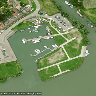
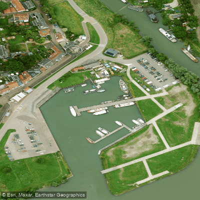
Learn how to get on Kromme Rijn. Uncover great paddling access points, boat ramps, and all the facilities you need for an unforgettable day on the water. Some locations shown may border or include private property. Always check property boundaries and applicable regulations before visiting. PaddleWays's Public & Private Land layer can help you plan your access with confidence.
Paddle smarter with real-time insights
Whether you're en route and conditions shift or you're looking for the best spot based on current flows, we enable you to make informed decisions on the fly.







Gelderland licenses and regulations
No licenses or regulations available for Gelderland.
Find Places to Paddle

Over 400,000 Places to Paddle
Every user gets free access to launch points, boat ramps, and public property parcels.


Water and weather conditions (10 day forecast)
See the best times to paddle Kromme Rijn and check the forecast before you go.
No forecast data available.
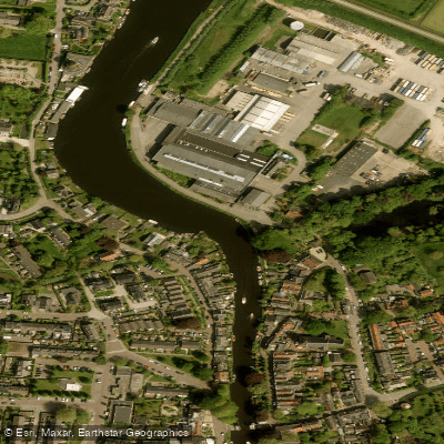
Paddling near Kromme Rijn
Vecht
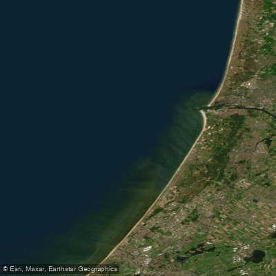
Hollandse kust (kustwater)
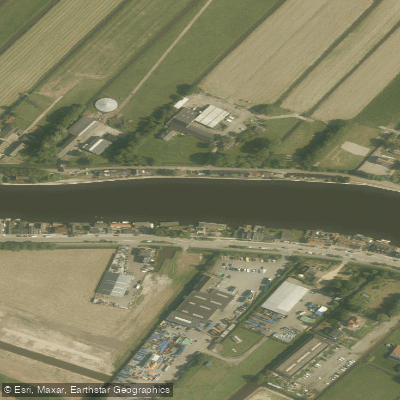
Oude Rijn
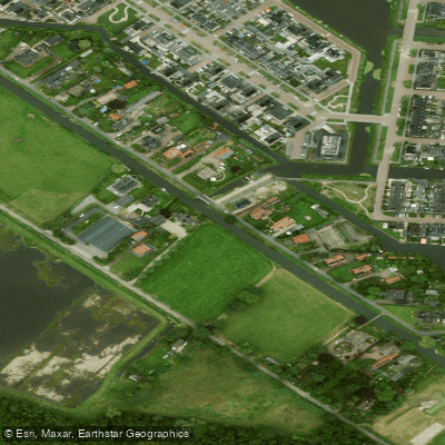
Valleikanaal
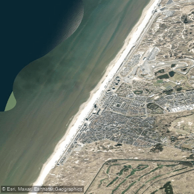
Strand Zandvoort
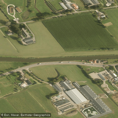
Gekanaliseerde Hollandsche IJssel
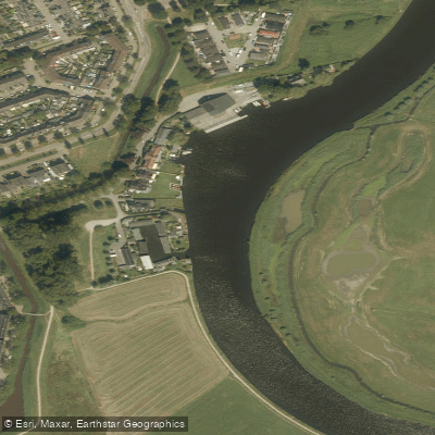
Eem
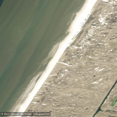
Naturistenstrand Zandvoort
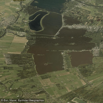
Loosdrechtse Plassen
Explore Gelderland waters
Top paddling waters
No waters available right now.
Popular Cities
Loading popular cities...
Explore near Kromme Rijn

Smarter Paddling Starts in the App.
Paddleways gives you everything you need to plan smarter, paddle better, and own every trip from first launch to takeout.