Oude Rijn
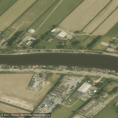
Oude Rijn
- Boat Ramps
- 0
- Access Points
- 2
- Campsites
- 1
The Oude Rijn ("Old Rhine") is a branch of the Rhine delta running through the Dutch provinces of Utrecht and South Holland. It originates near Harmelen, west of Utrecht, and flows approximately 52 kilometres westward before discharging into the North Sea at Katwijk via a mechanical pumping station. The river passes through or near several significant towns, including Woerden, Alphen aan den Rijn, and Leiden, making it a well-connected waterway through a densely populated and historically rich region of the Netherlands.
The river sits at roughly -0.4 metres elevation, reflecting the characteristic flatness of the Dutch lowland landscape. The terrain along the entire length is essentially level, with no significant gradient changes for paddlers to contend with. The river has three tributaries and three side channels along its course.
Historically, the Oude Rijn was once the main lower channel of the Rhine, wide and tidal, forming part of the northern frontier of the Roman Empire — a boundary known as the Roman Limes. In medieval times it silted up as the Lek became the Rhine's primary outlet, and the river subsequently served as a drainage channel, a route for the clay industry, and a transport corridor. A towpath, the Oude Rijn Jaagpad, runs alongside much of the river. Originally constructed in the 17th century to allow horses and people to tow trekschuiten (tow barges) upstream between Leiden and Utrecht, this path now functions as a cycling and walking route. Its presence along the bank is a notable feature of the paddling environment, offering a sense of the river's long commercial history.
The river flows through a mix of urban and rural settings as it connects the cities and towns of the western Netherlands. The surrounding landscape is typical of the Dutch polder region — low-lying, open, and largely agricultural between the urban centres. The mechanical pumping station at Katwijk controls the river's outflow to the sea, which is a relevant consideration for paddlers approaching the western end of the route.
Water access, boat ramps & amenities
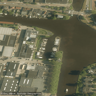
Learn how to get on Oude Rijn. Uncover great paddling access points, boat ramps, and all the facilities you need for an unforgettable day on the water. Some locations shown may border or include private property. Always check property boundaries and applicable regulations before visiting. PaddleWays's Public & Private Land layer can help you plan your access with confidence.
Paddle smarter with real-time insights
Whether you're en route and conditions shift or you're looking for the best spot based on current flows, we enable you to make informed decisions on the fly.







South Holland licenses and regulations
No licenses or regulations available for South Holland.
Find Places to Paddle

Over 400,000 Places to Paddle
Every user gets free access to launch points, boat ramps, and public property parcels.


Water and weather conditions (10 day forecast)
See the best times to paddle Oude Rijn and check the forecast before you go.
No forecast data available.
Paddling near Oude Rijn
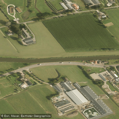
Gekanaliseerde Hollandsche IJssel
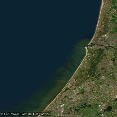
Hollandse kust (kustwater)
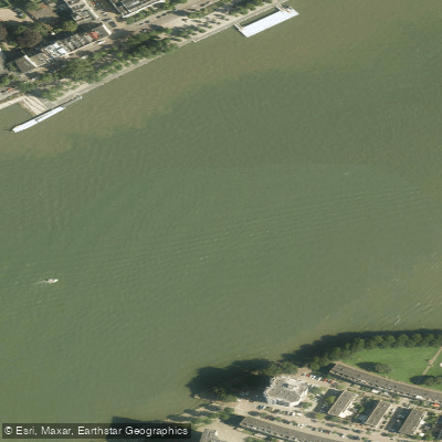
Nieuwe Maas
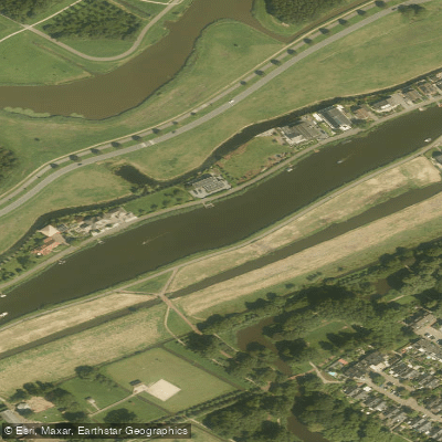
Rotte
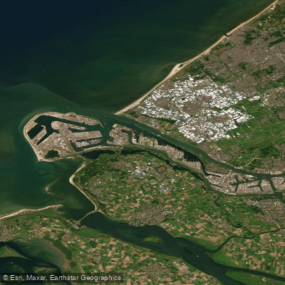
Nieuwe Waterweg
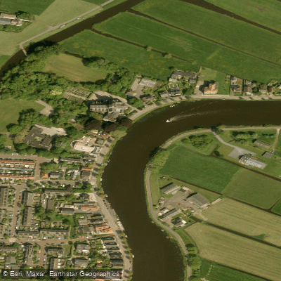
Amstel
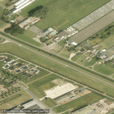
Ringvaart van de Zuidplaspolder
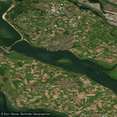
Haringvliet-west
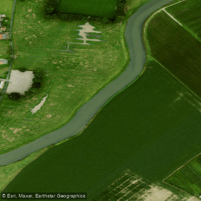
Linge
Explore South Holland waters
Top paddling waters
No waters available right now.
Popular Cities
Loading popular cities...
Explore near Oude Rijn

Smarter Paddling Starts in the App.
Paddleways gives you everything you need to plan smarter, paddle better, and own every trip from first launch to takeout.