Paddling in De Maasduinen
- National Park
- Lakes
- 6
- Rivers
- 9
- Access
- 0
- Boat Ramps
- 0
- Shops
- 0
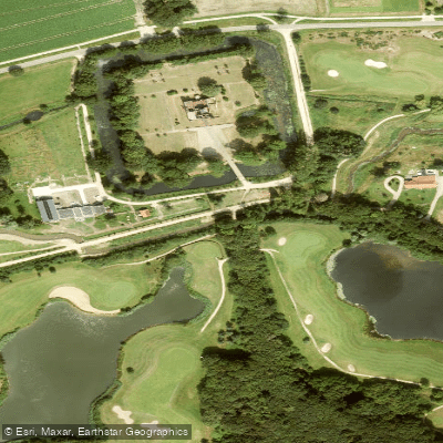
De Maasduinen National Park occupies the northern part of Limburg, running along the east bank of the Maas where the longest river dune belt in the Netherlands was built up over millennia by wind and water.
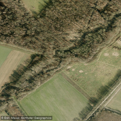
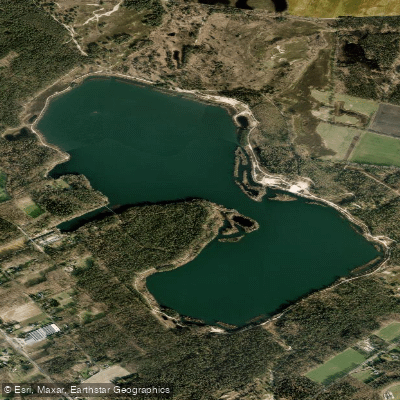
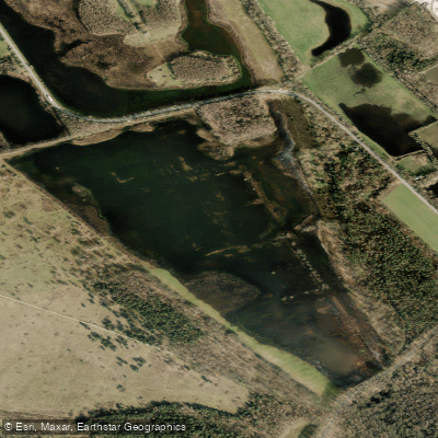
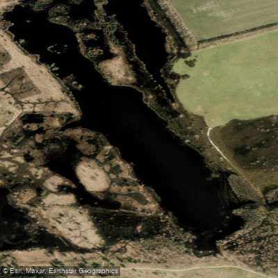
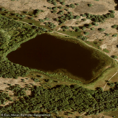
The landscape is a mix of river terraces, heathland, fen, and forest — shaped first by the Maas and finished by westerly winds that piled sand against the eastern bank.
The water here is quieter than the river itself: small streams and canals threading through dune and woodland rather than open moving water. The Groote Molenbeek is the winding stream most associated with paddling inside the park.
It moves with enough current to keep a canoe or kayak moving, bending through the landscape in tight curves that reward attentive paddling.
The Niers, described locally as the fastest-flowing river in the Netherlands, runs near the park's edge and is accessible for canoe trips from operators in the area; its current and sharp bends make it a livelier proposition than the Molenbeek.
The Geldernsch-Nierskanaal connects into this network of northern Limburg waterways. Because De Maasduinen is a protected national park, the rules governing access and behavior on the water are stricter than on unprotected stretches.
The park's character — rare species including the smooth snake, marsh gentian, and numerous dragonfly species — means disturbance to banks and vegetation matters.
Check directly with the park for current access rules before launching; what applies on the Maas or an unprotected canal does not automatically apply inside park boundaries.
The Maas itself borders the park and is paddleable, but it is a working waterway with shipping traffic and its own safety requirements. Rijkswaterstaat requires paddlers on the Maas to wear a buoyancy aid, follow waterway signs, and not go out alone.
This is flatwater and moving-water touring country, not whitewater. The appeal is the corridor itself — dune ridges, heathland, and the particular stillness of a landscape that has been accumulating sand since the last ice age.
Water and weather conditions (10 day forecast)
See the best times to paddle De Maasduinen and check the forecast before you go.
No forecast data available.
Paddle smarter with real-time insights
Whether you're en route and conditions shift or you're looking for the best spot based on current flows, we enable you to make informed decisions on the fly.







Paddling near De Maasduinen
Loading...
Gateway towns
Where to base yourself for paddling in De Maasduinen.
- WellLimburg
The village sits at the park's edge and is the closest settlement to the park, with B&B lodging directly bordering De Maasduinen.
- BergenLimburg
Small Maas-side village within the park area, used as a base for walking and cycling routes through the dune belt.
- AfferdenLimburg
Village inside the park boundary in North Limburg, offering access to the heathlands and forest trails of De Maasduinen.
- OverloonLimburg
Northern gateway village near the park with lodging options and access to the park's northern trails and cultural sites.
Explore De Maasduinen
Top paddling waters
Popular Cities
Loading popular cities...

Smarter Paddling Starts in the App.
Paddleways gives you everything you need to plan smarter, paddle better, and own every trip from first launch to takeout.