Paddling in Oosterschelde
- National Park
- Lakes
- 22
- Rivers
- 2
- Access
- 6
- Boat Ramps
- 1
- Shops
- 0
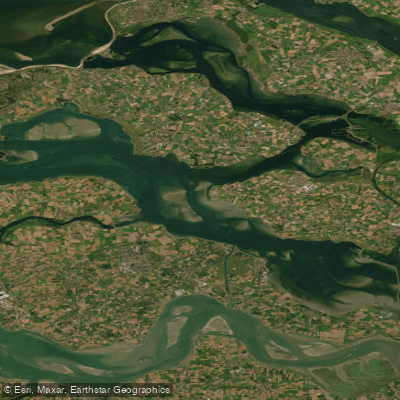
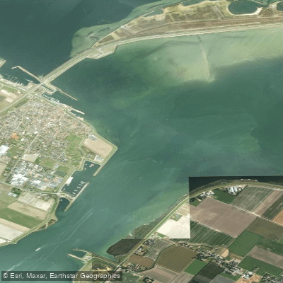
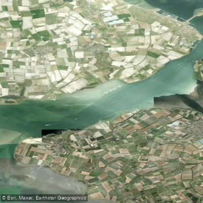
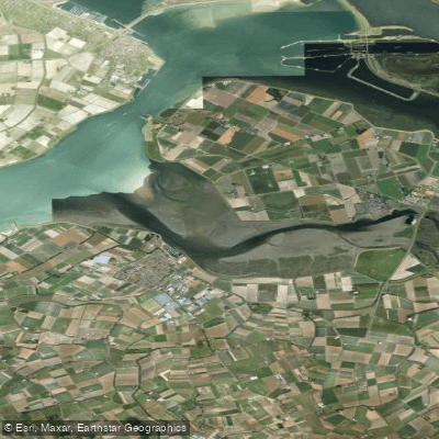
Oosterschelde is tidal saltwater — an estuary arm of the North Sea tucked into the Zeeuwse Delta of the southwestern Netherlands. At 37,000 hectares, it is the largest National Park in the country, and almost all of it is water.
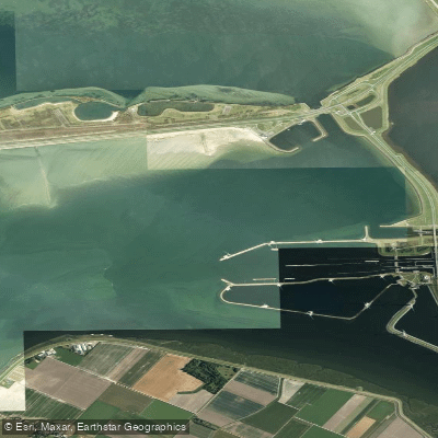
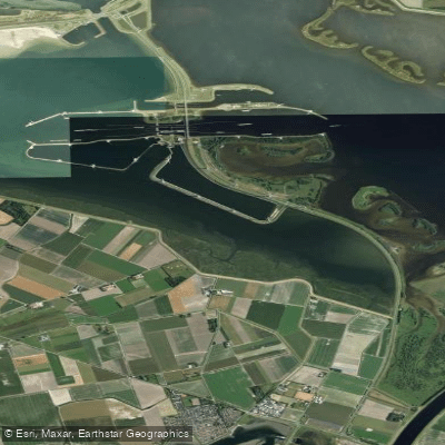
That scale, and the forces moving through it, define everything about paddling here. Twice a day, roughly 800 billion liters of seawater pulse through the Stormvloedkering, the storm surge barrier at the park's mouth.
Water levels shift 3 to 3,5 meter between low and high tide, and the current reverses every six hours. This is not a place to improvise.
Paddlers plan routes around kentering — the brief slack between ebb and flood — and consult tide tables the way others check the weather.
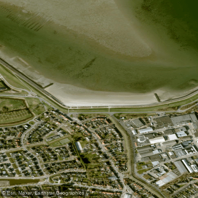
At low water, zandplaten and wadplaten emerge, seals haul out on the Roggenplaat, and harbors that looked navigable become mud. At high water, you can paddle directly to historic quays that are otherwise inaccessible.
The main body of the Oosterschelde is the park's defining water: open, exposed, and long.
A crossing from Schelphoek on Schouwen-Duiveland to Strandhoekweg on Noord-Beveland covers roughly 11 nautical miles and takes around five hours of paddling, with a rest stop on a shell bank mid-crossing.
That kind of route — timed to ride the current in both directions — is the signature experience here. A Sint Maartensdijk to Rattekaai day paddle, working the tidal channels, runs around 34 km.
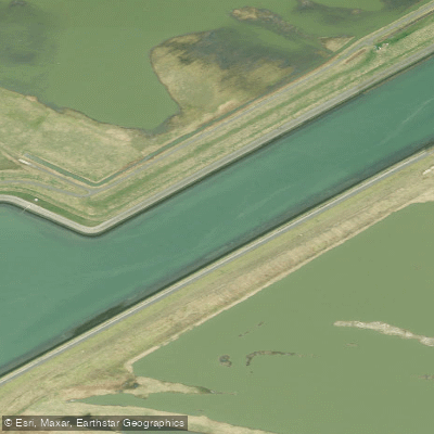
The Zijpe, one of the narrower tidal inlets within the park, offers a more sheltered alternative when conditions on the open water are less forgiving. This is a Natura 2000-protected area.
The wildlife is not incidental — seals, porpoises, and a dense underwater community of anemones, seahorses, and cuttlefish live in and around the same waters you're paddling.
That protection shapes how you move through the park: give resting seals on exposed platen a wide berth, and treat the tidal flats as habitat first. Experience matters here. The Oosterschelde is not a beginner's first open-water outing.
The tidal dynamics are real, the distances are significant, and conditions can change within a single paddle. Come with tidal knowledge, appropriate gear, and honest self-assessment about your skills in moving saltwater.
Water and weather conditions (10 day forecast)
See the best times to paddle Oosterschelde and check the forecast before you go.
No forecast data available.
Paddle smarter with real-time insights
Whether you're en route and conditions shift or you're looking for the best spot based on current flows, we enable you to make informed decisions on the fly.







Paddling near Oosterschelde
Loading...
Gateway towns
Where to base yourself for paddling in Oosterschelde.
- WemeldingeZeeland
Village on the park's edge with marina access, used as a base for exploring Oosterschelde's marine life and birdwatching trails.
- YersekeZeeland
Harbor town on the Oosterschelde shore, known as the hub for oyster and mussel culture within the park's waters.
- GoesZeeland
Nearby regional center with hotels, dining, and cycling and hiking routes into the Oosterschelde National Park area.
- Anna JacobapolderZeeland
Small delta village with lodging situated in the heart of the Oosterschelde delta.
Explore Oosterschelde
Top paddling waters
Popular Cities
Loading popular cities...

Smarter Paddling Starts in the App.
Paddleways gives you everything you need to plan smarter, paddle better, and own every trip from first launch to takeout.