Manukau Harbour
- Saltwater
- Harbor
Manukau Harbour
- Saltwater
- Harbor
- Sq. miles
- 144
- Boat Ramps
- 1
- Access Points
- 0
- Campsites
- 5
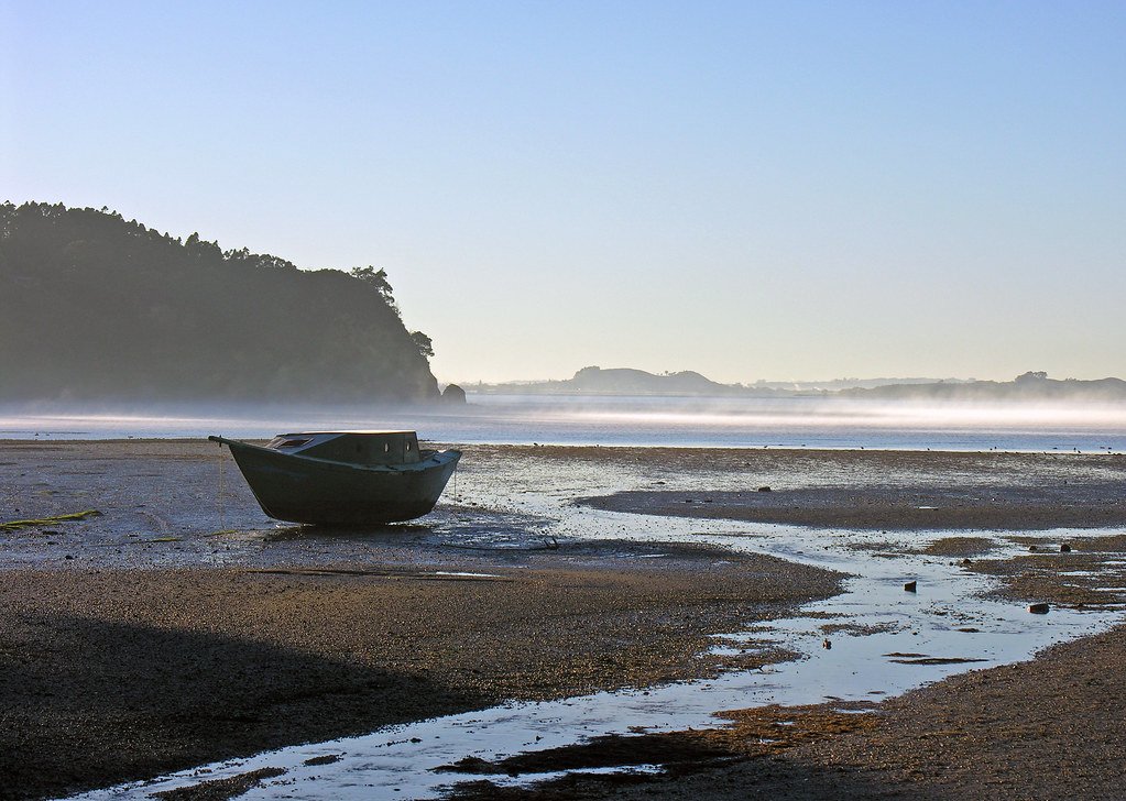
The Manukau Harbour is Auckland's largest harbour, covering approximately 340 square kilometres at high tide, with roughly half that area becoming exposed sand and mudflats at low water. It is a coastal harbour on the Tasman Sea, characterized by its vast, open waters and extensive intertidal zones. Paddling here requires careful planning due to significant tidal ranges and strong currents. The harbour is not a popular kayaking destination, offering a sense of remote seclusion despite its proximity to the city. Key access points for paddlers include Cornwallis Wharf, which has a boat ramp, parking, and toilets; a boat ramp at Huia at the corner of Whatipu and Huia Road; a small beach at the foot of Goodall St in Hillsborough; and a foreshore reserve with a boat ramp at the bottom of Endeavour St in Blockhouse Bay (Sandfly Bay). Timing trips with the tide is critical. For journeys to the harbour entrance at South Head, paddlers should aim to reach there at low tide, using the ebb tide to go out and the flood tide to return. In the main channel near Huia Bank, tidal currents can be exceptionally swift, reaching 3.5 knots (6.5 km/hr) on a spring ebb tide. Many areas become very shallow at low tide, requiring launches to be timed for mid to high tide to avoid long carries across exposed flats, such as at Eastern Beach. The harbour can be exposed to wind, generating waves, and the entrance at the Manukau Heads is known for its breaking surf on the bar. A notable hazard is the narrow, fast-moving lane of tidal current near Puponga Point, which creates rough water as it flows across the harbour. Water quality can be an issue, with health warnings posted in some areas advising against drinking the water due to potential pollution. Wildlife encounters are possible, including dolphins and rays. A charming, secluded north-facing cove with a white-shell beach can be found on the north-western corner of Puketutu Island, though its entrance may be partially obscured by mangroves. The overall paddling experience is suited for intermediate paddlers who are prepared for navigating strong tidal flows, variable depths, and open, sometimes windy conditions.
Water access, boat ramps & amenities
Learn how to get on Manukau Harbour. Uncover great paddling access points, boat ramps, and all the facilities you need for an unforgettable day on the water. Some locations shown may border or include private property. Always check property boundaries and applicable regulations before visiting. PaddleWays's Public & Private Land layer can help you plan your access with confidence.
Paddle smarter with real-time insights
Whether you're en route and conditions shift or you're looking for the best spot based on current flows, we enable you to make informed decisions on the fly.







Auckland licenses and regulations
No licenses or regulations available for Auckland.
Find Places to Paddle

Over 400,000 Places to Paddle
Every user gets free access to launch points, boat ramps, and public property parcels.


Tides, wind & water conditions (10 day forecast)
On open water, wind and tide matter as much as the weather. See the best times to paddle Manukau Harbour and check the marine forecast before you launch.
Loading tide predictions…
Paddling near Manukau Harbour
Ōpanuku Stream
Wairoa River
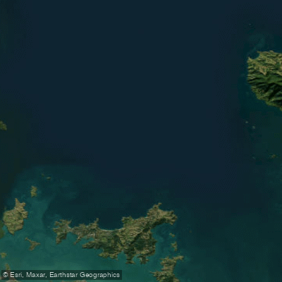
Hauraki Gulf / Tīkapa Moana
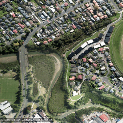
Whau River
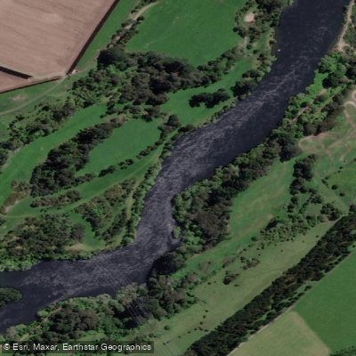
Waikato River
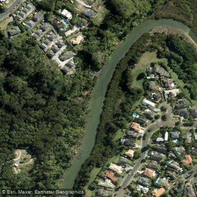
Lucas Creek
Waiuku River
Waitematā Harbour
Te Wai-o-Pareira / Henderson Creek
Explore Auckland waters
Top paddling waters
No waters available right now.
Popular Cities
Loading popular cities...
Explore near Manukau Harbour
Access points
Nearby waters
More in Auckland

Smarter Paddling Starts in the App.
Paddleways gives you everything you need to plan smarter, paddle better, and own every trip from first launch to takeout.