Ōpanuku Stream
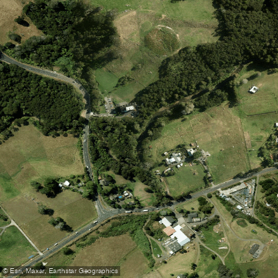
Ōpanuku Stream
- Boat Ramps
- 0
- Access Points
- 0
- Campsites
- 2
Ōpanuku Stream runs approximately 11 kilometres from its source on the Scenic Drive ridge in the Waitākere Ranges eastward through Henderson Valley, then north-east through the West Auckland suburbs of Western Heights and Henderson, before joining the Oratia Stream to form Te Wai-o-Pareira/Henderson Creek, which flows into the Waitematā Harbour. The stream drops off rocky terrain in its upper reaches before levelling out through the valley floor.
The character of the stream varies considerably along its length. Upper and middle sections through Henderson Valley can be too shallow for uninterrupted paddling, and accounts of trips along the full course describe the need for ropes as well as paddles, indicating portaging or lining through shallower or more technical passages. The lower reaches approaching the confluence with the Oratia Stream are more consistently navigable, and the short stretch from that confluence onward to Henderson Creek has been described as straightforward paddling.
A notable landmark along the route is the site of Henderson's Mill, built in 1849 and closed in 1866 after the accessible kauri timber was exhausted. The mill cookhouse survives as a heritage cottage, and a replica water wheel marks the location. The confluence of the Ōpanuku and Oratia Streams was historically a landing point, and Henderson Creek served as the primary transport link to Auckland until the 1890s.
The stream and its surroundings have undergone active ecological restoration since the mid-2000s, with replanting of native flora. Wildlife present in and around the stream includes tuna (eels), koura (crayfish), and various native birds. Water quality has been affected historically by pollution, deforestation, and urban development, though restoration work is ongoing. A walk and cycleway runs alongside much of the stream corridor through the Project Twin Streams area, spanning from Candia Road in the upper reaches to Corban Estate in the lower reaches.
Water access, boat ramps & amenities
Learn how to get on Ōpanuku Stream. Uncover great paddling access points, boat ramps, and all the facilities you need for an unforgettable day on the water. Some locations shown may border or include private property. Always check property boundaries and applicable regulations before visiting. PaddleWays's Public & Private Land layer can help you plan your access with confidence.

Paddle smarter with real-time insights
Whether you're en route and conditions shift or you're looking for the best spot based on current flows, we enable you to make informed decisions on the fly.







Auckland licenses and regulations
No licenses or regulations available for Auckland.
Find Places to Paddle

Over 400,000 Places to Paddle
Every user gets free access to launch points, boat ramps, and public property parcels.


Water and weather conditions (10 day forecast)
See the best times to paddle Ōpanuku Stream and check the forecast before you go.
No forecast data available.
Paddling near Ōpanuku Stream
Wairoa River
Hauraki Gulf / Tīkapa Moana
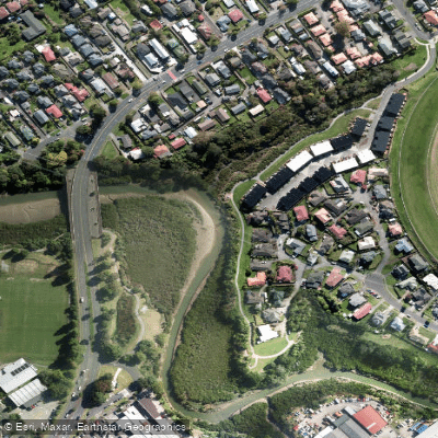
Whau River
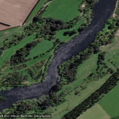
Waikato River
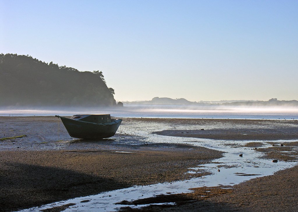
Manukau Harbour
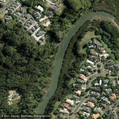
Lucas Creek
Waiuku River
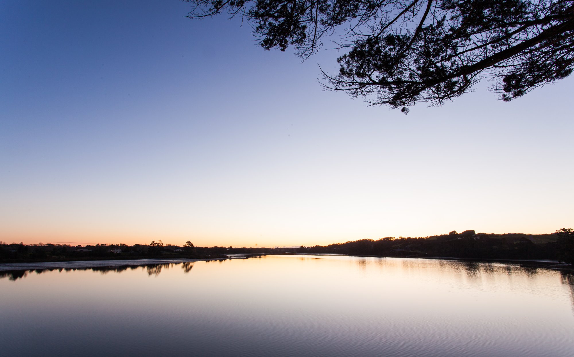
Waitematā Harbour
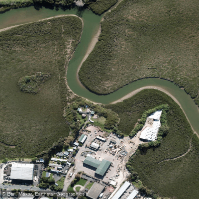
Te Wai-o-Pareira / Henderson Creek
Explore Auckland waters
Top paddling waters
No waters available right now.
Popular Cities
Loading popular cities...
Explore near Ōpanuku Stream

Smarter Paddling Starts in the App.
Paddleways gives you everything you need to plan smarter, paddle better, and own every trip from first launch to takeout.