Raukokore River
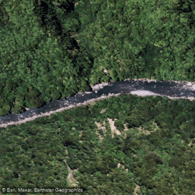
Raukokore River
- Boat Ramps
- 0
- Access Points
- 0
- Campsites
- 0
The Raukokore River is a Grade I-II packrafting and kayaking run located in the East Cape Raukumara Ranges in the Bay of Plenty region of New Zealand. The trip has a wilderness feel despite being manageable for paddlers of moderate experience, and can be completed as a long day trip or split over two days.
The put-in is on the Waikura River at the Te Kumi Road bridge on Te Kumi Station. The paddle begins with approximately one hour of braided river travel to the Raukokore confluence, which requires attentiveness to navigate. Below the confluence, the character of the river shifts noticeably — the water tends to run clear and green, and large boulders appear throughout, though extensive gravel deposits from significant slips prevent large rapids from forming and the river never becomes a fully enclosed gorge. Native forest covers much of the riverbanks, and there are numerous small grassy terraces suitable for camping. Land is mostly private, with the exception of the first couple of kilometres below the Waikura confluence on river left.
The takeout is at the State Highway 35 bridge near the coast. An alternative finish involves continuing downstream on the fast current and paddling up the Raukokore lagoon — best attempted on an incoming or high tide — to a beach carpark near the cemetery on Cemetery Road. The shuttle between put-in and takeout takes approximately 2 hours 15 minutes by car, or around 4 hours by bike, making this a viable bikerafting option. Along the shuttle route, paddlers cross the Oweka Stream, Mohau Stream, and Whangaparaoa River, all of which carry enough flow after rain to paddle and are described as gravelly streams that disappear into bush-clad valleys before reaching the coast.
Upstream of the Waikura confluence, the Raukokore emerges from a gorge near the Raukumara wilderness area, which is noted as potentially good paddling but difficult to access at higher flows. An old trampers route into the upper Raukokore via Okapua Stream offers a possible wilderness packrafting route. The Green Hut previously marked on topographic maps no longer exists.
Water access, boat ramps & amenities
Learn how to get on Raukokore River. Uncover great paddling access points, boat ramps, and all the facilities you need for an unforgettable day on the water. Some locations shown may border or include private property. Always check property boundaries and applicable regulations before visiting. PaddleWays's Public & Private Land layer can help you plan your access with confidence.
Paddle smarter with real-time insights
Whether you're en route and conditions shift or you're looking for the best spot based on current flows, we enable you to make informed decisions on the fly.







Bay Of Plenty licenses and regulations
No licenses or regulations available for Bay Of Plenty.
Find Places to Paddle

Over 400,000 Places to Paddle
Every user gets free access to launch points, boat ramps, and public property parcels.


Water and weather conditions (10 day forecast)
See the best times to paddle Raukokore River and check the forecast before you go.
No forecast data available.
Paddling near Raukokore River
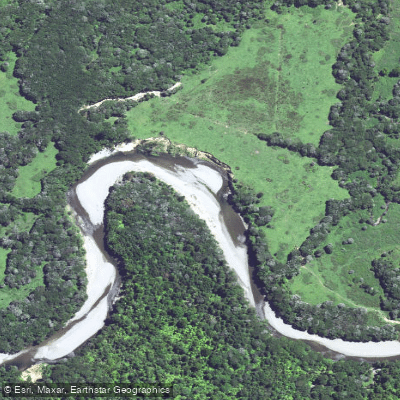
Wharekahika River
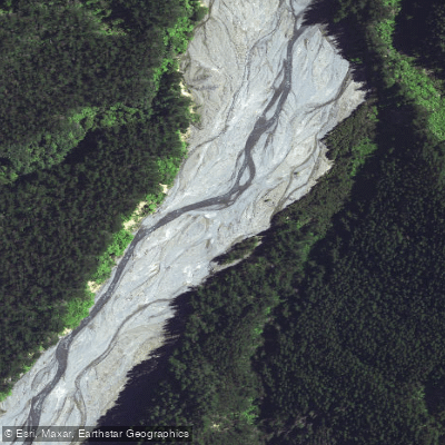
Taurangakautuku River
Bay of Plenty
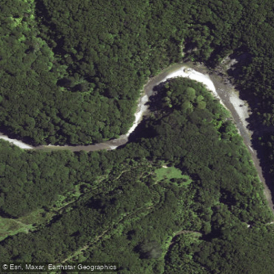
Maraehara River
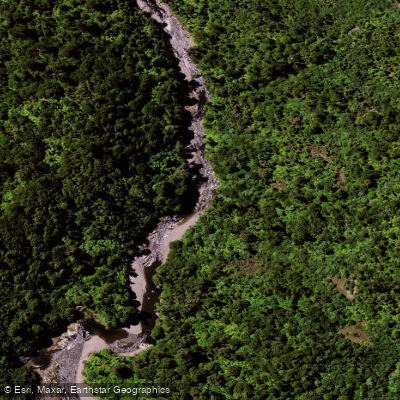
Mōtū River
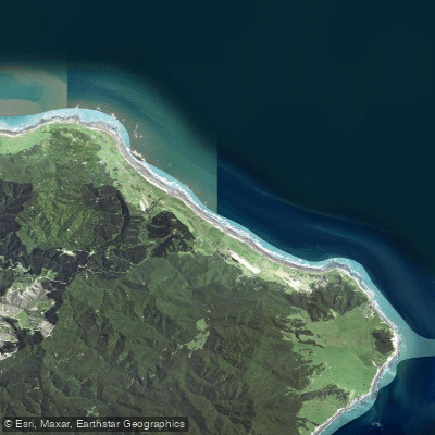
Hautai Beach
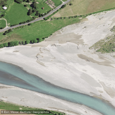
Waiapu River
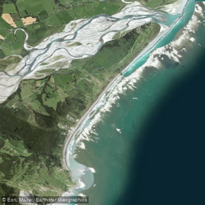
Te Wharau Beach
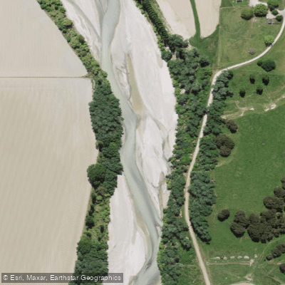
Waipaoa River
Explore Bay Of Plenty waters
Top paddling waters
No waters available right now.
Popular Cities
Loading popular cities...
Explore near Raukokore River

Smarter Paddling Starts in the App.
Paddleways gives you everything you need to plan smarter, paddle better, and own every trip from first launch to takeout.