Waipaoa River
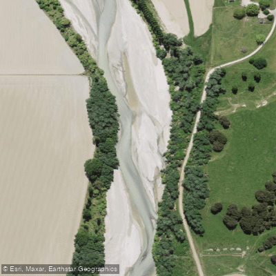
Waipaoa River
- Boat Ramps
- 0
- Access Points
- 0
- Campsites
- 0
The Waipaoa River flows for approximately 80 kilometers from the eastern slopes of the Raukūmara Range to its mouth at Poverty Bay, just south of Gisborne. Its basin is large, covering 2,165 square kilometers, and it has formed the fertile Poverty Bay flats. The river's character is heavily influenced by extensive flood control infrastructure, including stopbanks that are part of a major scheme designed to protect agricultural land and settlements. An 8-kilometer-long cycle trail follows the top of the stopbank along the river's eastern side between the river mouth and the Matawhero State Highway 2 bridge, indicating a managed, engineered environment in its lower reaches. Major settlements along its course include Te Karaka, Ormond, and Pātūtahi.
The river holds significant cultural importance, with its Māori name, Waipaoa, meaning "Pāoa's river," referencing the captain of the Horouta canoe. The river's aesthetic includes expansive views of the river mouth and surrounding hills, farms, and agricultural areas from the stopbank trail. The area is exposed to winds from the northwest or south, which is a key consideration for any paddling or cycling activity. Paddlers should be aware of ongoing flood control work, such as stopbank upgrades along tributaries like the Whakaahu Stream near Patutahi. The river receives numerous tributaries, including the Wharekōpae, Waikohu, Mangatū, Te Ārai, Waingaromia, and Waihora rivers.
Water access, boat ramps & amenities
Learn how to get on Waipaoa River. Uncover great paddling access points, boat ramps, and all the facilities you need for an unforgettable day on the water. Some locations shown may border or include private property. Always check property boundaries and applicable regulations before visiting. PaddleWays's Public & Private Land layer can help you plan your access with confidence.
Paddle smarter with real-time insights
Whether you're en route and conditions shift or you're looking for the best spot based on current flows, we enable you to make informed decisions on the fly.







Gisborne licenses and regulations
No licenses or regulations available for Gisborne.
Find Places to Paddle

Over 400,000 Places to Paddle
Every user gets free access to launch points, boat ramps, and public property parcels.


Water and weather conditions (10 day forecast)
See the best times to paddle Waipaoa River and check the forecast before you go.
No forecast data available.
Paddling near Waipaoa River
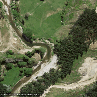
Waimata River
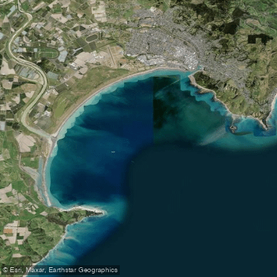
Tūranganui-a-Kiwa / Poverty Bay
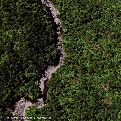
Mōtū River
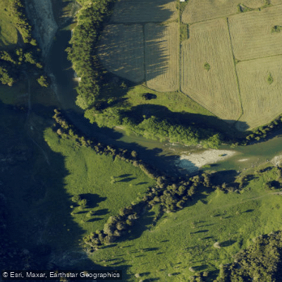
Waiau River
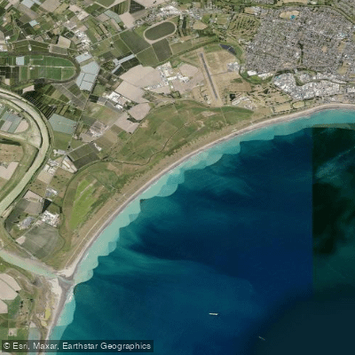
Midway Beach
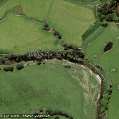
Wharekōpae River
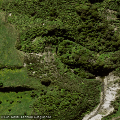
Mangarangiora Stream
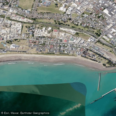
Waikanae Beach
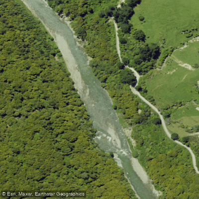
Ruakituri River
Explore Gisborne waters
Top paddling waters
No waters available right now.
Popular Cities
Loading popular cities...
Explore near Waipaoa River

Smarter Paddling Starts in the App.
Paddleways gives you everything you need to plan smarter, paddle better, and own every trip from first launch to takeout.