Waitaki River
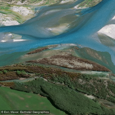
Waitaki River
- Boat Ramps
- 0
- Access Points
- 0
- Campsites
- 0
The Waitaki River runs through the Central South Island of New Zealand, forming the boundary between the provinces of Otago and Canterbury. The catchment is the third largest in the country, drawing from the Mackenzie Country and extending from Lindis Pass in the southwest to the northern edge of Mt Cook National Park. In the 60 kilometres between Kurow and the coast, the river moves through a broad valley that opens into a fertile plain near the sea, while west of Kurow it cuts through a mountainous zone that hosts several hydro schemes.
The lower 65 kilometres of river were effectively separated from the upper catchment by the construction of the Waitaki Dam in the 1930s. The dam has stabilised flows considerably — the average annual flood is now around 800 cumecs, just over twice the normal flow of 364 cumecs, making the Waitaki considerably tamer than most New Zealand rivers. Despite this, the river carries a formidable flow and presents real challenges for access and navigation, with braided channels that can shift significantly from year to year. Thick riparian vegetation including willow, blackberry, and broom can close off access routes over a single summer.
The river is primarily known as a jet boating and angling destination. Kayakers are also active on the water. The only permanently constructed boat ramp is located at Kurow, on the island between the northern and southern braids. Additional launching points used by jet boaters and paddlers include Bells Pond (Ross Road), Te Maiharoa Road, and Duntroon. There are 35 documented access points along the river, detailed in the Waitaki River angler access pamphlet produced by Fish & Game New Zealand.
The middle and lower river is subject to changeable conditions, with braided channels that can alter access and navigable water from season to season. Paddlers should be prepared to reassess access points regularly. The presence of the invasive alga didymo has been confirmed in these waters; anyone moving between rivers must clean, check, and dry all gear including waders and boats to prevent spread.
Wildlife habitat along the river and associated wetlands is considered outstanding for waterfowl, and the broader catchment supports brown and rainbow trout as well as salmon populations in the lower reaches.
Water access, boat ramps & amenities
Learn how to get on Waitaki River. Uncover great paddling access points, boat ramps, and all the facilities you need for an unforgettable day on the water. Some locations shown may border or include private property. Always check property boundaries and applicable regulations before visiting. PaddleWays's Public & Private Land layer can help you plan your access with confidence.
Paddle smarter with real-time insights
Whether you're en route and conditions shift or you're looking for the best spot based on current flows, we enable you to make informed decisions on the fly.







Canterbury licenses and regulations
No licenses or regulations available for Canterbury.
Find Places to Paddle

Over 400,000 Places to Paddle
Every user gets free access to launch points, boat ramps, and public property parcels.


Water and weather conditions (10 day forecast)
See the best times to paddle Waitaki River and check the forecast before you go.
Waitaki River At Kurow
Paddling near Waitaki River
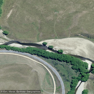
Taieri River
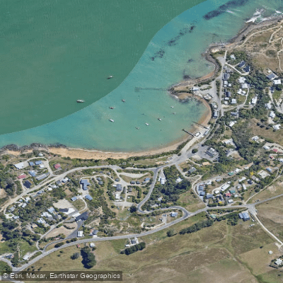
Onekakara
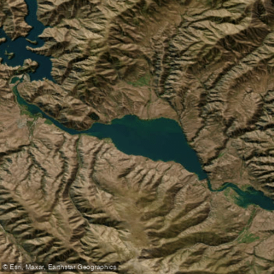
Lake Aviemore
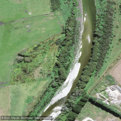
Waianakarua River
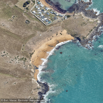
Tūtakahikura
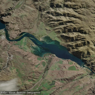
Lake Waitaki
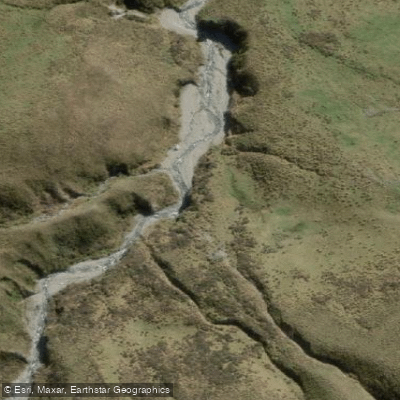
Awakino River East Branch
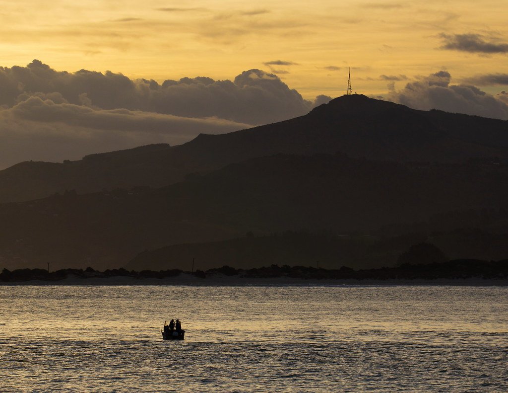
Otago Harbour
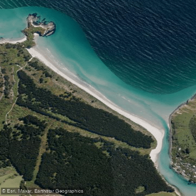
Pūrākaunui Beach
Explore Canterbury waters
Top paddling waters
No waters available right now.
Popular Cities
Loading popular cities...
Explore near Waitaki River

Smarter Paddling Starts in the App.
Paddleways gives you everything you need to plan smarter, paddle better, and own every trip from first launch to takeout.