Taieri River
Taieri River
- Boat Ramps
- 0
- Access Points
- 0
- Campsites
- 0
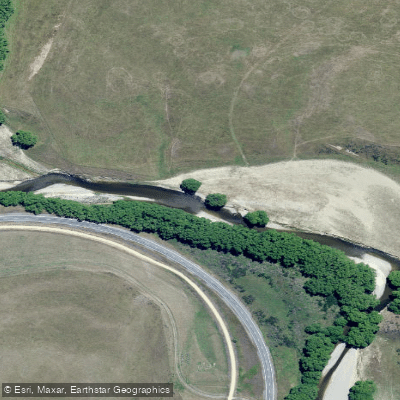
The Taieri River is the fourth-longest river in New Zealand at 288 kilometres, rising in the Lammerlaw Range in Otago on the South Island. It flows north, then east around the Rock and Pillar Range before turning southeast to reach the Pacific Ocean approximately 30 kilometres south of Dunedin. Despite its length, the river carries a relatively modest average discharge of around 35 cubic metres per second. Towns along its course include Middlemarch, Outram, Allanton, Mosgiel, Henley, and Taieri Mouth, with the Waipori River joining near Henley as the major tributary. The last 20 kilometres of the river are navigable.
For paddlers, the river offers several distinct sections of varying character and difficulty. The Rock and Pillar Run, upstream near Middlemarch, alternates between willow-lined banks and schist gorges, with the river weaving through farmland away from the road. This section is rated Grade I to III and includes a mining-era tunnel that diverts some flow at lower levels — described as Grade III in the dark, with limited ability to scout beforehand. The hardest rapid on this run appears shortly after the tunnel. A surf wave forms at Hyde Bridge at approximately 25 cumecs. The recommended flow range for the Tiroiti to Hyde section is 20–40 cumecs on the Tiroiti gauge.
Below Middlemarch, the river gathers volume and enters more serious gorges. The Sutton to Hindon section and the Taioma to Outram section are both rated Grade III+ and are considered Otago classics among kayakers.
The lower section near Lee Stream to Outram is rated Grade I to II, featuring two Grade II rapids at the start near the Lee Stream confluence, followed by a gentle float downstream. This section is suitable for those wanting accessible whitewater practice close to Dunedin. The river can be paddled at a range of flows on this stretch, with approximately 40 cumecs at Outram bridge noted as a workable level. The lower Taieri between Outram and Allanton is also used for drift trips by canoe or kayak.
Flows on New Zealand rivers can fluctuate rapidly, sometimes within minutes to hours, and paddlers should monitor gauge levels and avoid brown or murky water indicative of flooding conditions.
Water access, boat ramps & amenities
Learn how to get on Taieri River. Uncover great paddling access points, boat ramps, and all the facilities you need for an unforgettable day on the water. Some locations shown may border or include private property. Always check property boundaries and applicable regulations before visiting. PaddleWays's Public & Private Land layer can help you plan your access with confidence.
Paddle smarter with real-time insights
Whether you're en route and conditions shift or you're looking for the best spot based on current flows, we enable you to make informed decisions on the fly.







Otago licenses and regulations
No licenses or regulations available for Otago.
Find Places to Paddle

Over 400,000 Places to Paddle
Every user gets free access to launch points, boat ramps, and public property parcels.


Water and weather conditions (10 day forecast)
See the best times to paddle Taieri River and check the forecast before you go.
No forecast data available.
Paddling near Taieri River

Clutha River / Mata-Au
Otago Harbour
Lake Mahinerangi
Pomahaka River
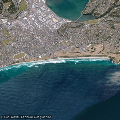
Saint Kilda Beach
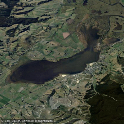
Lake Waihola
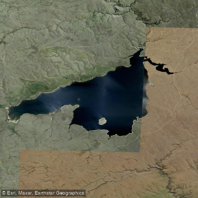
Loganburn Reservoir
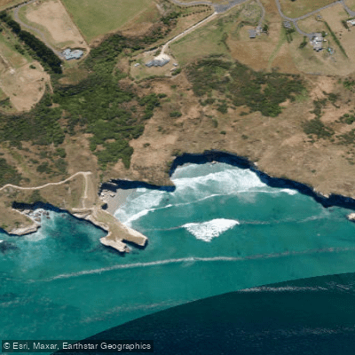
Tunnel Beach
Tuapeka River
Explore Otago waters
Top paddling waters
No waters available right now.
Popular Cities
Loading popular cities...
Explore near Taieri River

Smarter Paddling Starts in the App.
Paddleways gives you everything you need to plan smarter, paddle better, and own every trip from first launch to takeout.