Ruakituri River
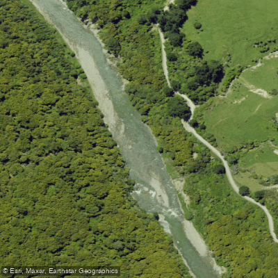
Ruakituri River
- Boat Ramps
- 0
- Access Points
- 0
- Campsites
- 0
The Ruakituri River is a major tributary of the Wairoa River in Hawke's Bay on New Zealand's North Island, flowing southeast from Te Urewera toward Wairoa. It is locally renowned among Hawke's Bay paddlers for its impressive scenery and short, sharp Grade 2 and 3 rapids, with the gorge section being particularly notable.
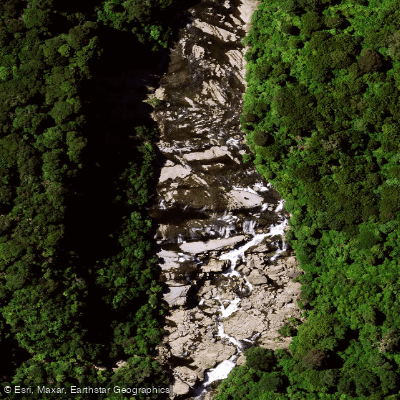
The river is divided into distinct reaches with significantly different characters. The upper reaches lie within Te Urewera National Park, above Waitangi Falls, and sit within a 23,000-hectare Wilderness Zone where only foot access is permitted. Helicopter landings are not permitted in this area, and there are no huts or tracks, making access genuinely difficult. This upper section has been assessed as Grade 4 to 5 whitewater and is listed in Charles' guidebook on New Zealand rivers. It starts within the National Park, which precludes fly-in access, requiring a long walk in past a waterfall. This section also passes through a blue duck sanctuary.
The middle and lower reaches, accessible via the Puhoro Bridge and Erepeti Road bridge, offer Grade 3 paddling and attract considerably more use. The Ruakituri is often combined with the nearby Waikaretaheke River as a joint trip, with paddler selection between the two based on technical ability. The lower reaches are predominantly surrounded by native bush and farmland.
The river is also nationally significant for trout angling — it was ranked the most enjoyed river by anglers in the North Island in the 2013 National Angling Survey and third most enjoyed nationwide. The upper reaches are noted for trophy-sized rainbow trout, while the middle and lower reaches hold both brown and rainbow trout. Anglers should be aware that the river above Te Reinga Falls closes to fishing at the end of June for spawning season, which may affect trip planning if fishing is part of the experience.
The combination of native bush surroundings, a wilderness upper section, and accessible intermediate whitewater in the lower gorge gives the Ruakituri a range of paddling experiences across different skill levels, though the upper wilderness section demands serious logistical preparation and strong technical ability.
Water access, boat ramps & amenities
Learn how to get on Ruakituri River. Uncover great paddling access points, boat ramps, and all the facilities you need for an unforgettable day on the water. Some locations shown may border or include private property. Always check property boundaries and applicable regulations before visiting. PaddleWays's Public & Private Land layer can help you plan your access with confidence.
Paddle smarter with real-time insights
Whether you're en route and conditions shift or you're looking for the best spot based on current flows, we enable you to make informed decisions on the fly.







Gisborne licenses and regulations
No licenses or regulations available for Gisborne.
Find Places to Paddle

Over 400,000 Places to Paddle
Every user gets free access to launch points, boat ramps, and public property parcels.


Water and weather conditions (10 day forecast)
See the best times to paddle Ruakituri River and check the forecast before you go.
No forecast data available.
Paddling near Ruakituri River
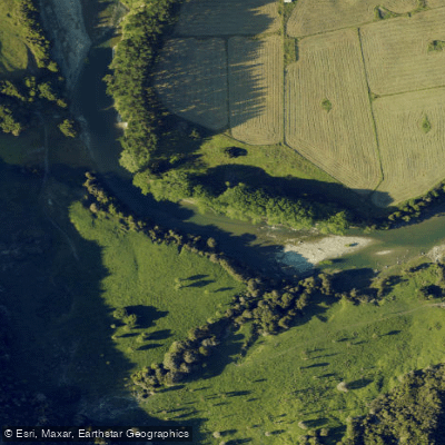
Waiau River
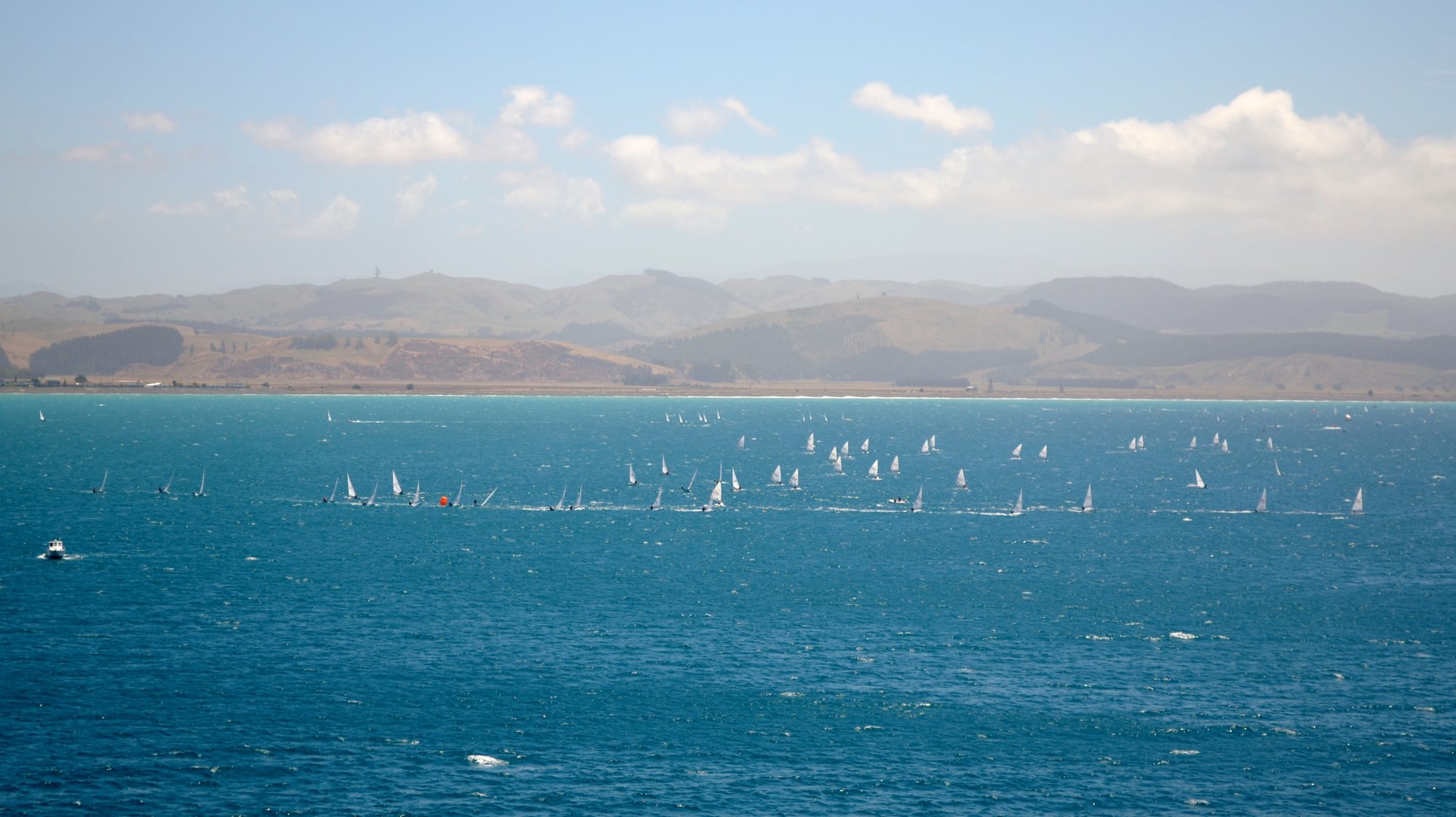
Hawke Bay
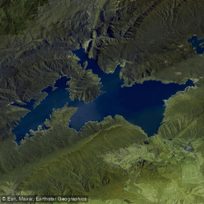
Lake Waikaremoana
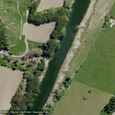
Wairoa River
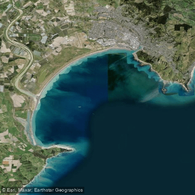
Tūranganui-a-Kiwa / Poverty Bay
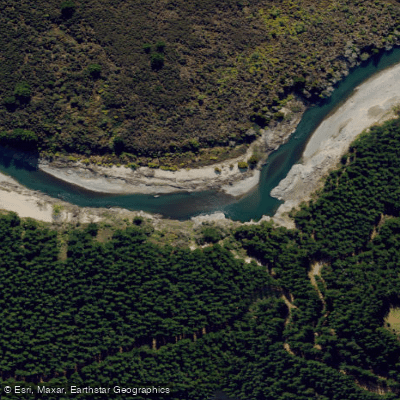
Mohaka River
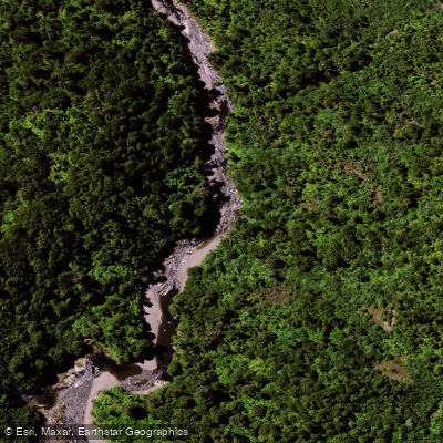
Mōtū River
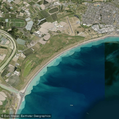
Midway Beach
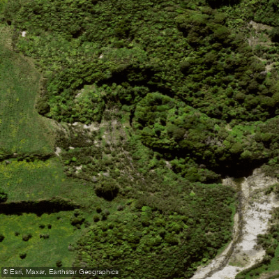
Mangarangiora Stream
Explore Gisborne waters
Top paddling waters
No waters available right now.
Popular Cities
Loading popular cities...
Explore near Ruakituri River

Smarter Paddling Starts in the App.
Paddleways gives you everything you need to plan smarter, paddle better, and own every trip from first launch to takeout.