Tūranganui-a-Kiwa / Poverty Bay
- Saltwater
- Bay
Tūranganui-a-Kiwa / Poverty Bay
- Saltwater
- Bay
- Sq. miles
- 25
- Boat Ramps
- 0
- Access Points
- 0
- Campsites
- 0
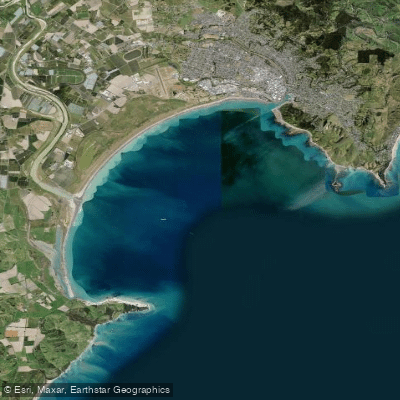
Tūranganui-a-Kiwa / Poverty Bay is a coastal bay on the east coast of New Zealand's North Island, enclosed by Young Nick's Head (Te Kuri) and Tuaheni Point. This defines the Gisborne Harbour Limits, a key area for navigation safety regulations. The bay's waters receive discharge from several freshwater inputs, including the Waimatā River and Wherowhero Lagoon. For paddlers, the primary access points are from the city's beaches, specifically Midway Beach (Ōneroa) and Kaiti Beach, which are used as launch sites for major paddling events like the New Zealand long-distance waka ama championships. These events utilize offshore courses whose exact location depends on sea conditions. The Waimatā River, which flows into the bay, is also a popular route for waka ama, kayakers, and stand-up paddleboarders, though water quality can be a significant concern. Following heavy rain, emergency wastewater releases and runoff can lead to poor water quality, a "liquid slurry of mud," with visible sludge and an unpleasant smell at low tide; authorities typically issue advisories against water use for several days after such events. The bay has considerable cultural significance, with the name Tūranganui-a-Kiwa meaning "the great standing place of Kiwa," referencing the ancestor for local iwi. It is also historically notable as Captain James Cook's first landing site in New Zealand. The area regularly hosts large paddling competitions, indicating it is a established venue for canoeing, waka ama, and outrigger canoeing.
Water access, boat ramps & amenities
Learn how to get on Tūranganui-a-Kiwa / Poverty Bay. Uncover great paddling access points, boat ramps, and all the facilities you need for an unforgettable day on the water. Some locations shown may border or include private property. Always check property boundaries and applicable regulations before visiting. PaddleWays's Public & Private Land layer can help you plan your access with confidence.
Paddle smarter with real-time insights
Whether you're en route and conditions shift or you're looking for the best spot based on current flows, we enable you to make informed decisions on the fly.







Gisborne licenses and regulations
No licenses or regulations available for Gisborne.
Find Places to Paddle

Over 400,000 Places to Paddle
Every user gets free access to launch points, boat ramps, and public property parcels.


Tides, wind & water conditions (10 day forecast)
On open water, wind and tide matter as much as the weather. See the best times to paddle Tūranganui-a-Kiwa / Poverty Bay and check the marine forecast before you launch.
Loading tide predictions…
Paddling near Tūranganui-a-Kiwa / Poverty Bay
Waimata River
Waipaoa River
Mōtū River
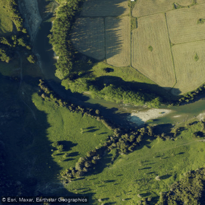
Waiau River
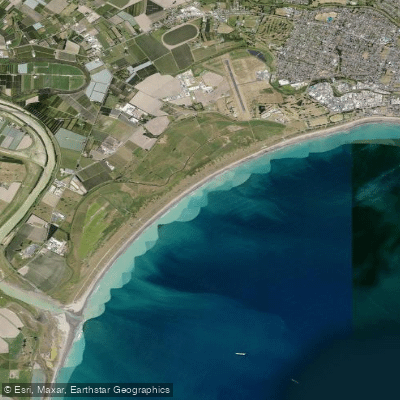
Midway Beach
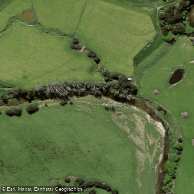
Wharekōpae River
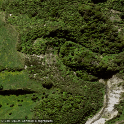
Mangarangiora Stream
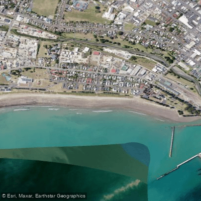
Waikanae Beach
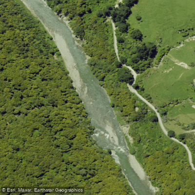
Ruakituri River
Explore Gisborne waters
Top paddling waters
No waters available right now.
Popular Cities
Loading popular cities...
Explore near Tūranganui-a-Kiwa / Poverty Bay

Smarter Paddling Starts in the App.
Paddleways gives you everything you need to plan smarter, paddle better, and own every trip from first launch to takeout.