Firth of Thames
- Saltwater
- Sound
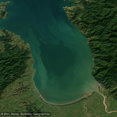
Firth of Thames
- Saltwater
- Sound
- Sq. miles
- 278
- Boat Ramps
- 0
- Access Points
- 0
- Campsites
- 3
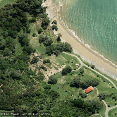
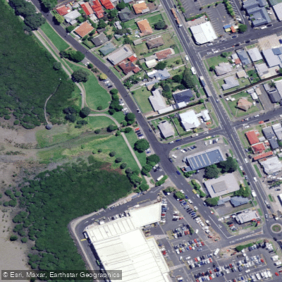
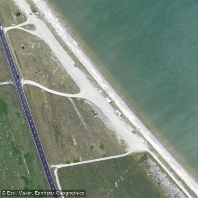
The Firth of Thames is a large, shallow coastal sound on the western shore of New Zealand's Hauraki Gulf. It is a tidal water body, and launching is highly tide-dependent. Several concrete boat ramps provide access, including those at the town of Thames and at Kaiaua, though some ramps may require a tractor or 4WD at very low tides. Other put-in points include the Piako River at Pipiroa, the Waihou River at Turua, and various spots along the Thames Coast Road such as Kawakawa Bay. Paddlers must navigate marked channels when leaving or returning to these river mouths to reach the open Firth. The environment is exposed, with fetch across the sound capable of creating rough conditions, and fog can descend rapidly, creating a significant navigation hazard as evidenced by multiple rescue incidents. The area sees considerable boat traffic, including commercial mussel harvesting barges whose operations attract fish and numerous recreational boats. The coastline features dramatic sea views, pohutukawa-lined cliffs, and quiet coves accessible from State Highway 25. Water clarity is often low near the river mouths, such as the Piako, but clears further from shore. The Firth contains extensive mussel farms, which are prominent features. Safety is a paramount concern, with reports of capsizes, lost paddlers, and the critical importance of carrying communication devices. The water is generally brownish near the inflows of major rivers like the Waikato, Piako, and Waihou.
Water access, boat ramps & amenities
Learn how to get on Firth of Thames. Uncover great paddling access points, boat ramps, and all the facilities you need for an unforgettable day on the water. Some locations shown may border or include private property. Always check property boundaries and applicable regulations before visiting. PaddleWays's Public & Private Land layer can help you plan your access with confidence.
Paddle smarter with real-time insights
Whether you're en route and conditions shift or you're looking for the best spot based on current flows, we enable you to make informed decisions on the fly.







Waikato licenses and regulations
No licenses or regulations available for Waikato.
Find Places to Paddle

Over 400,000 Places to Paddle
Every user gets free access to launch points, boat ramps, and public property parcels.


Tides, wind & water conditions (10 day forecast)
On open water, wind and tide matter as much as the weather. See the best times to paddle Firth of Thames and check the marine forecast before you launch.
Loading tide predictions…
Paddling near Firth of Thames
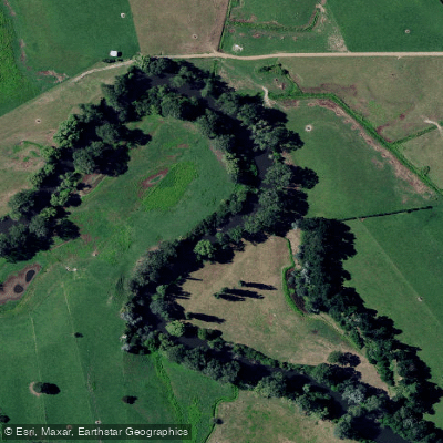
Waihou River
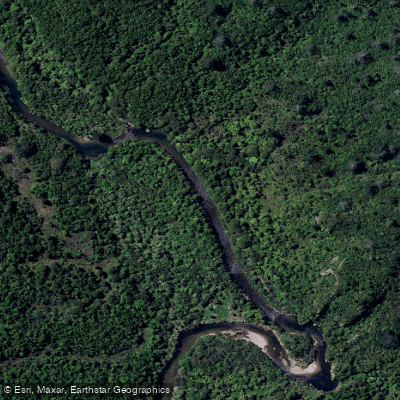
Tairua River
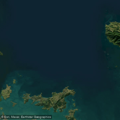
Hauraki Gulf / Tīkapa Moana
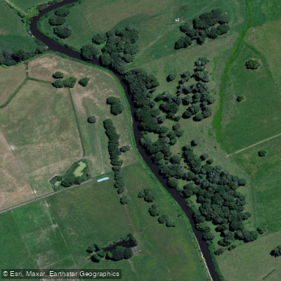
Piako River
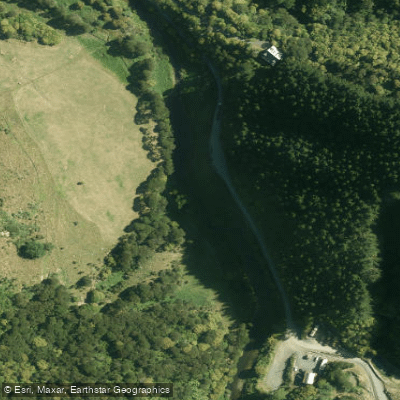
Wairoa River
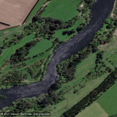
Waikato River
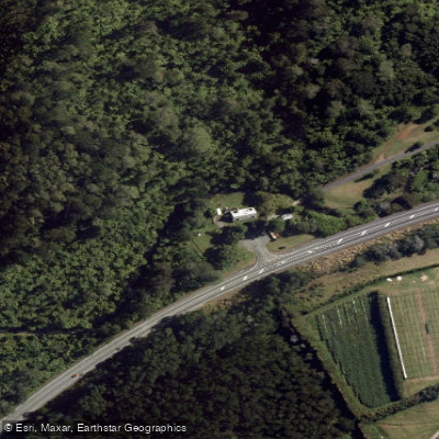
Waiau River
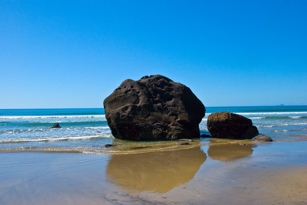
Bay of Plenty
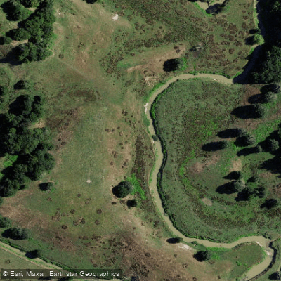
Opuatia Stream
Explore Waikato waters
Top paddling waters
No waters available right now.
Popular Cities
Loading popular cities...
Explore near Firth of Thames

Smarter Paddling Starts in the App.
Paddleways gives you everything you need to plan smarter, paddle better, and own every trip from first launch to takeout.