Piako River
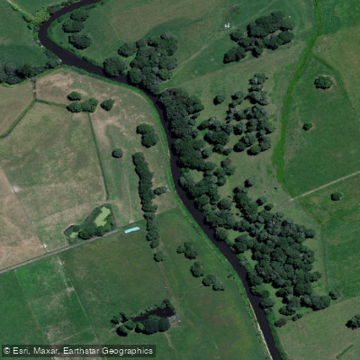
Piako River
- Boat Ramps
- 0
- Access Points
- 0
- Campsites
- 0
The Piako River is a lowland river system approximately 100 kilometres long on the North Island of New Zealand, draining northward into the Firth of Thames, roughly five kilometres west of Thames. It originates in the Te Miro-Tahuroa Hills and Piarere area at around 350 metres elevation and passes through the towns of Morrinsville and Ngatea on its way across the Hauraki Plains. The catchment covers approximately 1,440 square kilometres, and the river has an annual mean flow of 17 cubic metres per second measured at Paeroa-Tahuna Road.
The lower reaches of the river are strongly tidal in character, with thick mud banks and mangrove areas near the mouth at Pipiroa. This tidal and muddy nature makes the lower river particularly challenging and potentially dangerous for those on the water. Paddlers should be aware of tidal conditions before venturing into the lower reaches or the river mouth area.
Boat ramp access is available at Pipiroa off Buchanan Road, which provides entry to the mangrove areas near the river mouth and serves as a launching point for the Firth of Thames. There is also boat ramp access at Ngatea. Additional access points exist along the river corridor, including off Maukoro Landing Road at Patetonga. The river's confluence with the Waitoa Canal provides entry to the Waemaro Wildlife Management Reserve area, though a Department of Conservation permit is required for that reserve.
The surrounding Hauraki Plains landscape includes the Kopuatai Peat Dome, New Zealand's largest remaining natural peat dome at over 10,000 hectares, as well as various wildlife management reserves on the true left bank of the river. The area supports significant birdlife throughout the wetland margins.
Water access, boat ramps & amenities
Learn how to get on Piako River. Uncover great paddling access points, boat ramps, and all the facilities you need for an unforgettable day on the water. Some locations shown may border or include private property. Always check property boundaries and applicable regulations before visiting. PaddleWays's Public & Private Land layer can help you plan your access with confidence.
Paddle smarter with real-time insights
Whether you're en route and conditions shift or you're looking for the best spot based on current flows, we enable you to make informed decisions on the fly.







Waikato licenses and regulations
No licenses or regulations available for Waikato.
Find Places to Paddle

Over 400,000 Places to Paddle
Every user gets free access to launch points, boat ramps, and public property parcels.


Water and weather conditions (10 day forecast)
See the best times to paddle Piako River and check the forecast before you go.
No forecast data available.
Paddling near Piako River
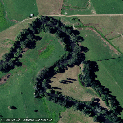
Waihou River
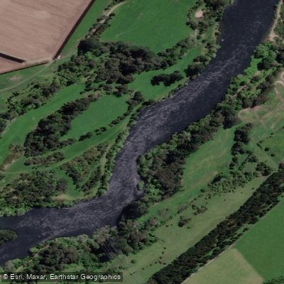
Waikato River
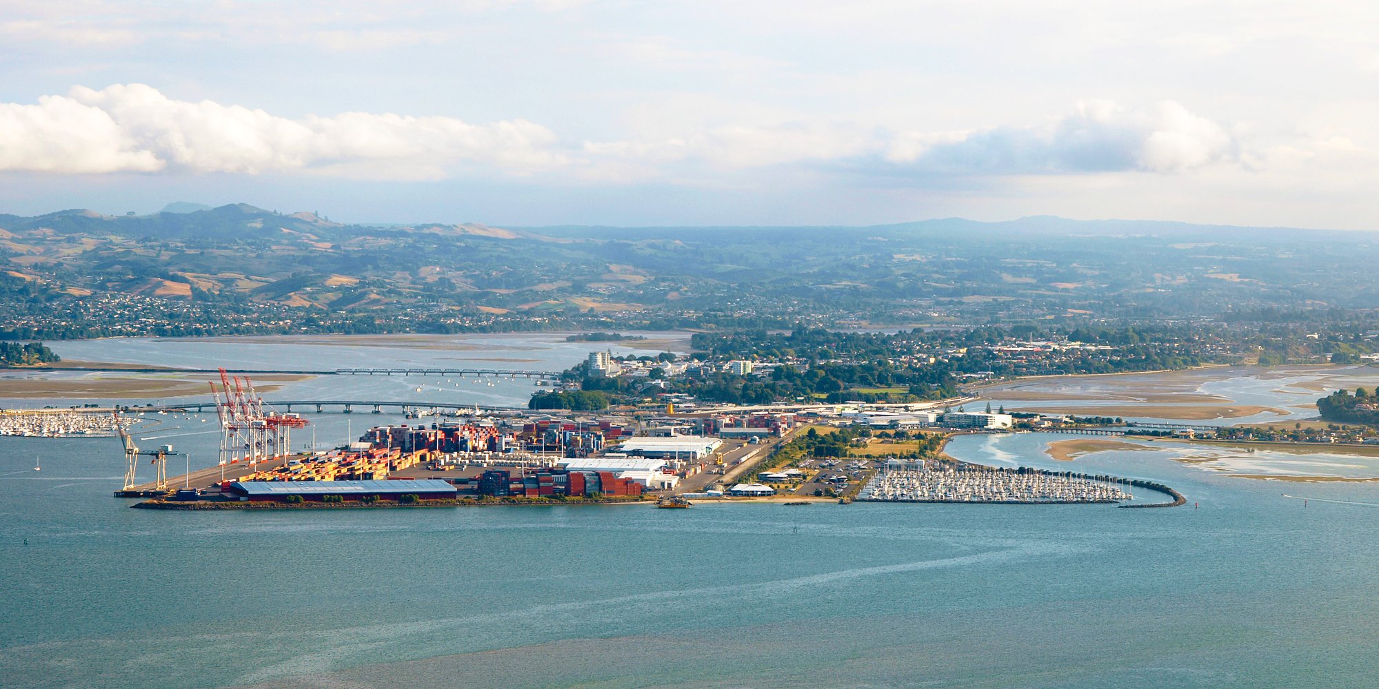
Tauranga Harbour
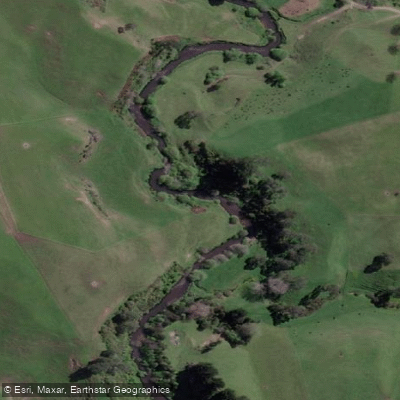
Pokaiwhenua Stream
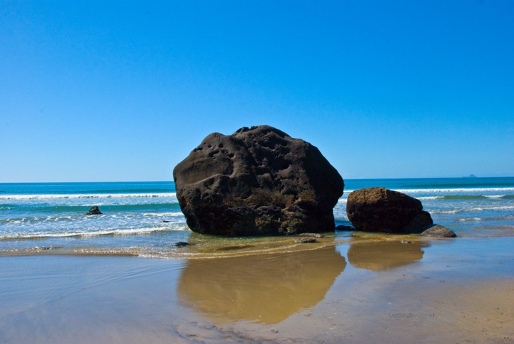
Bay of Plenty
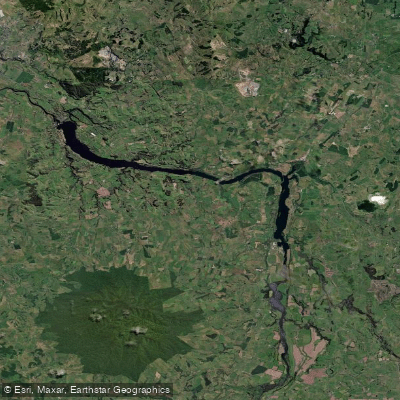
Lake Kārapiro
Opuiaki River
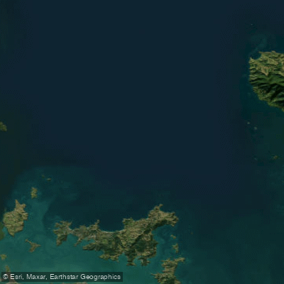
Hauraki Gulf / Tīkapa Moana
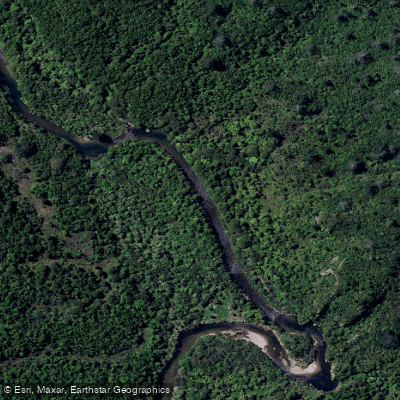
Tairua River
Explore Waikato waters
Top paddling waters
No waters available right now.
Popular Cities
Loading popular cities...
Explore near Piako River

Smarter Paddling Starts in the App.
Paddleways gives you everything you need to plan smarter, paddle better, and own every trip from first launch to takeout.