St. Francis Sunken Lands WMA Boat Ramp
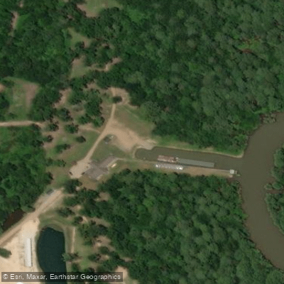
St. Francis Sunken Lands WMA Boat Ramp
St. Francis Sunken Lands WMA offers multiple boat ramp access points including Iron Bridge, Stephen's Landing, and Oak Donnick Access, providing entry to a 10-mile scenic water trail on the Saint Francis River.
The area is managed by Arkansas Game and Fish Commission and supports both fishing and paddling, with water conditions generally free of rapids but subject to flooding and high winds.
Check current water levels before visiting, as the area experiences seasonal flooding that can affect accessibility.
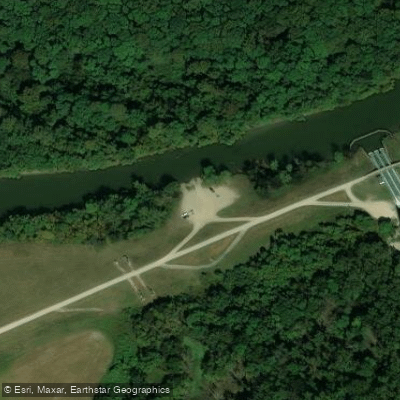
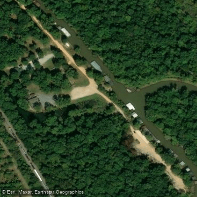
Nearby points of interest
Find excellent paddling spots, easy access to boat ramps, and all the amenities you need for a memorable day. Your adventure starts here.
Water and weather conditions (10 day forecast)
Check the forecast at St. Francis Sunken Lands WMA Boat Ramp before you go paddling.
No forecast data available.
Paddling near St. Francis Sunken Lands WMA Boat Ramp
Black River
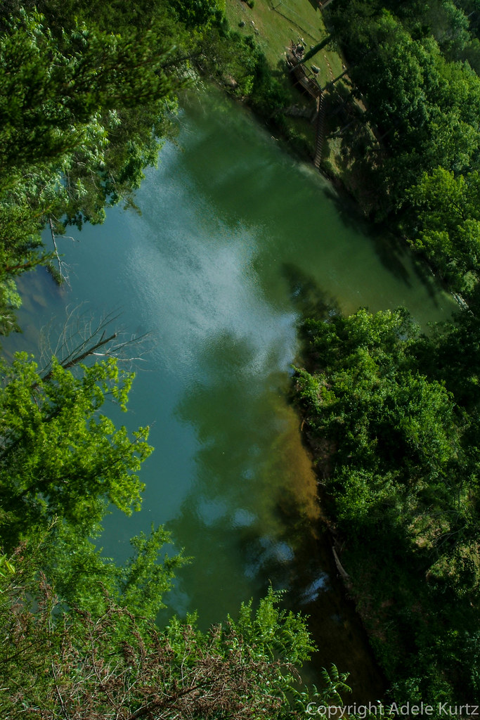
Spring River
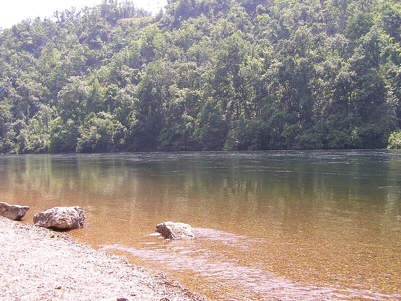
White River

Mississippi River
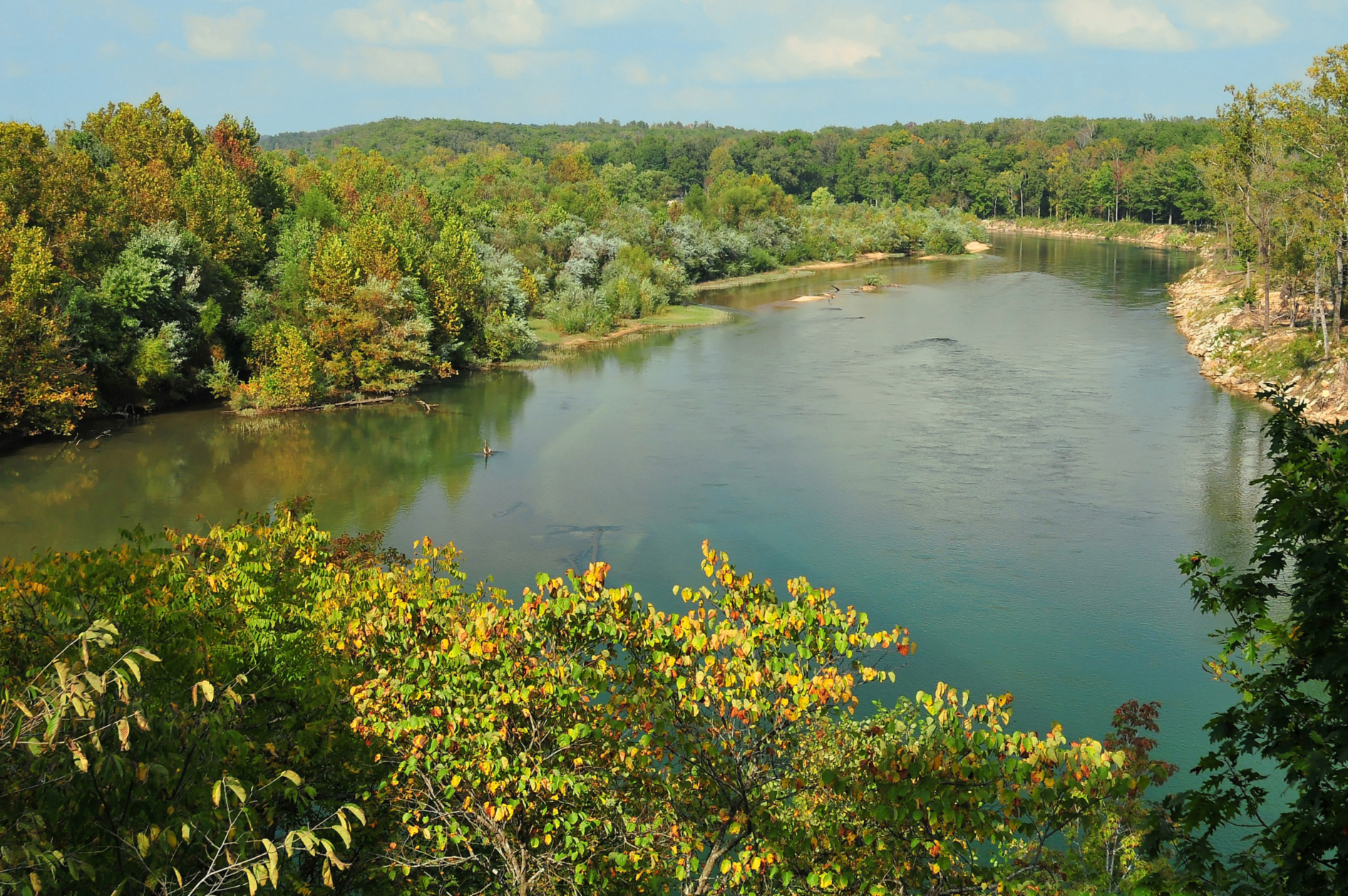
Current River
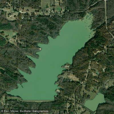
Lake Frierson
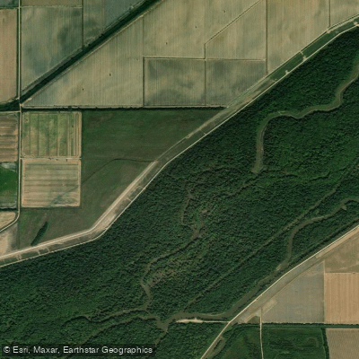
Saint Francis River
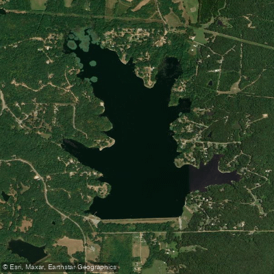
Lake Poinsett
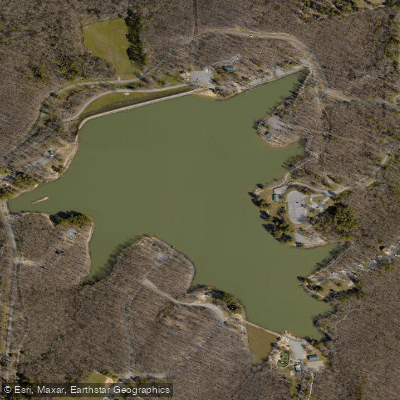
Craighead Forest Lake
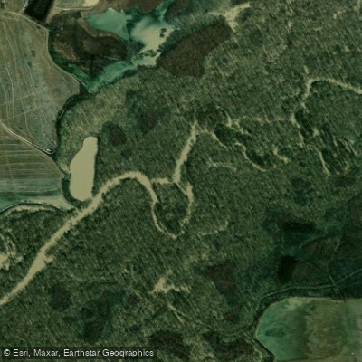
Cache River
Arkansas licenses and regulations
Explore Arkansas waters
Top paddling waters
No waters available right now.
Popular Cities
Loading popular cities...
Explore near St. Francis Sunken Lands WMA Boat Ramp
Nearby spots
- Don Lovell Access Boat Ramp #2
- Iron Bridge Boating Access
- Stephen's Landing Boat Ramp
- St. Francis Sunken Lands Combine Field Boating Access
- St. Francis Sunken Lands Don Lovell Boat Ramp #1
- St. Francis Sunken Lands South Pump Boating Access
- St. Francis Sunken Lands State WMA Boat Ramp
- St. Francis Sunken Lands State WMA Lock and Dam Boat Ramp
- St. Francis Sunken Lands WMA Boat Ramp
- St. Francis Sunken Lands Don Lovell Access
- St. Francis Sunken Lands Oak Donnick Access
- Snowden Campground
- All 15 nearby spots
Nearby waters
More in Arkansas

Smarter Paddling Starts in the App.
Paddleways gives you everything you need to plan smarter, paddle better, and own every trip from first launch to takeout.