Cache River
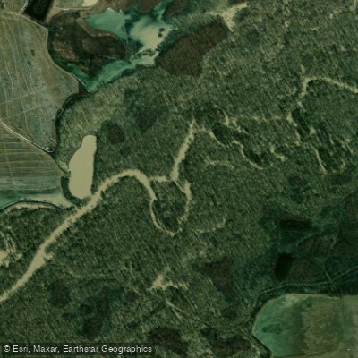
Cache River
- Boat Ramps
- 3
- Access Points
- 3
- Campsites
- 11
The Cache River is a significant waterway in eastern Arkansas, flowing southward through the Mississippi Alluvial Plain. This slow-moving river meanders through bottomland hardwood forests and cypress-tupelo swamps, creating a unique ecosystem that supports diverse wildlife. The Cache River originates in southern Missouri and enters Arkansas near the Missouri border, flowing approximately 213 miles before joining the White River near Clarendon, Arkansas. Its watershed covers about 2,371 square miles, primarily in the Arkansas Delta region.
Paddling opportunities on the Cache River are centered around the Bayou DeView Water Trail, which offers a serene journey through the Cache River National Wildlife Refuge and Dagmar Wildlife Management Area. The trail spans 15.2 miles from Benson Creek Access to the Bank of Brinkley Access, with several intermediate access points allowing for shorter trips. The paddling difficulty is generally flatwater, suitable for beginners to intermediate paddlers. However, navigation can be challenging due to the maze-like nature of the flooded timber areas. Paddlers should have good orienteering skills and be prepared for potential obstacles like fallen trees.
The best paddling times are typically spring and fall when water levels are optimal and temperatures are moderate. Water levels should be around 14 feet or higher for ideal paddling conditions. The gate on Dagmar Road closes when the gauge height reaches 17 feet, indicating high water conditions.
The Cache River area is renowned for its ancient cypress trees, some over 1,000 years old. Wildlife viewing opportunities are abundant, with possibilities to spot various waterfowl, wading birds, turtles, and even the elusive ivory-billed woodpecker, which was rediscovered in the area in 2004.
Key access points include Benson Creek Access, Hickson Lake Access, Rock Island Road Access, and Apple Lake Access. The nearby towns of Brinkley and Augusta serve as gateways to the Cache River area.
The Cache River and its surrounding wetlands hold significant ecological and historical importance. The area was once part of a vast bottomland hardwood ecosystem that covered millions of acres in the Mississippi River Valley. Today, it represents one of the largest remaining tracts of this habitat type.
Safety considerations include being prepared for remote conditions, bringing adequate water and supplies, and being aware of hunting seasons as the area is popular for waterfowl hunting. Paddlers should also be cautious of alligators, which inhabit the region.
While most trips on the Bayou DeView Water Trail can be completed in a day, multi-day adventures are possible by combining different sections or exploring deeper into the Cache River National Wildlife Refuge. Primitive camping is available at designated sites along the trail.
The Cache River offers a unique paddling experience through one of the most ecologically significant wetland areas in North America, providing visitors with a glimpse into the primeval beauty of Arkansas's Big Woods.
Water access, boat ramps & amenities
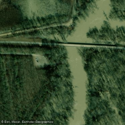
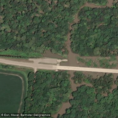
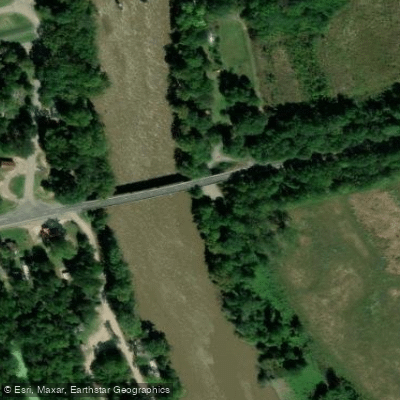
Learn how to get on Cache River. Uncover great paddling access points, boat ramps, and all the facilities you need for an unforgettable day on the water. Some locations shown may border or include private property. Always check property boundaries and applicable regulations before visiting. PaddleWays's Public & Private Land layer can help you plan your access with confidence.
Paddle smarter with real-time insights
Whether you're en route and conditions shift or you're looking for the best spot based on current flows, we enable you to make informed decisions on the fly.








Find Places to Paddle

Over 400,000 Places to Paddle
Every user gets free access to launch points, boat ramps, and public property parcels.


Water and weather conditions (10 day forecast)
See the best times to paddle Cache River and check the forecast before you go.
Cache River at Patterson, AR
All Flow Stations
Paddling near Cache River
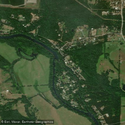
Little Red River

White River
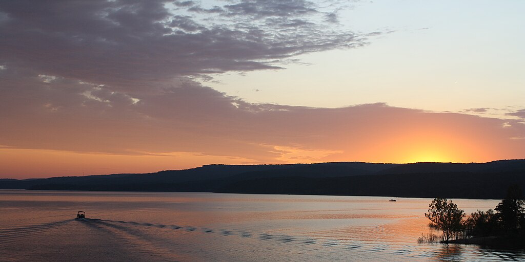
Greers Ferry Lake
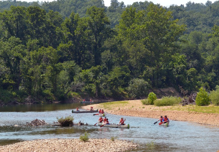
Black River
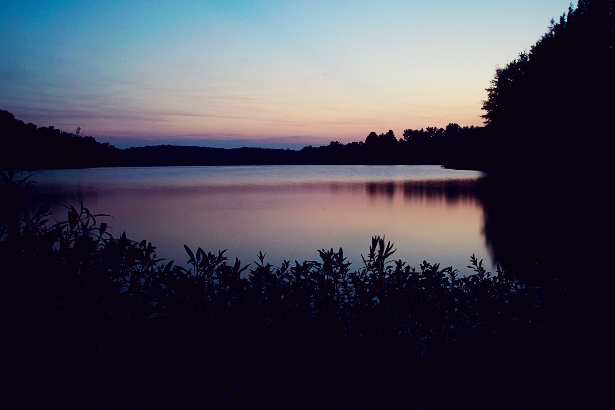
Lake Conway

Arkansas River
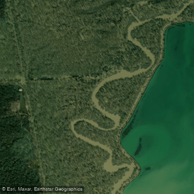
Bayou Meto
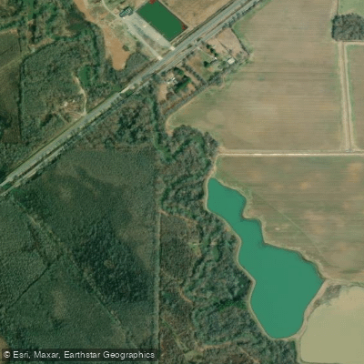
Bayou Des Arc
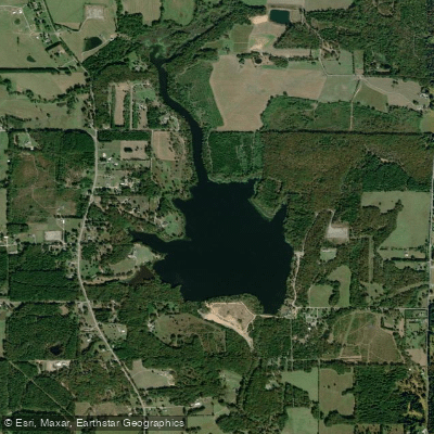
Lake Bald Knob
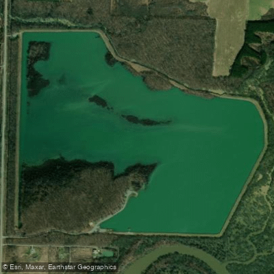
Lake Des Arc
Explore Arkansas waters
Top paddling waters
Popular Cities
Loading popular cities...
Explore near Cache River
Access points
Nearby waters
More in Arkansas

Smarter Paddling Starts in the App.
Paddleways gives you everything you need to plan smarter, paddle better, and own every trip from first launch to takeout.