Georgetown Channel
- Saltwater
- Channel
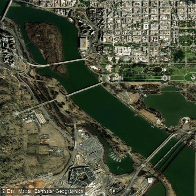
Georgetown Channel
- Saltwater
- Channel
- Sq. miles
- 0.8
- Boat Ramps
- 1
- Access Points
- 0
- Campsites
- 0
Georgetown Channel is a defined section of the tidal Potomac River in Washington, D.C., running from Fletcher's Cove upstream to the District boundary at Little Falls. It is a significant urban paddling route with strong tidal currents and specific regulations. A critical safety rule is that all persons aboard any vessel, including kayaks, canoes, and SUPs, in the Georgetown Channel from the southernmost point of Fletcher's Cove upstream to Little Falls are required by law to wear a Coast Guard-approved personal flotation device at all times; this is actively enforced by the DC Harbor Patrol. The channel is characterized by very strong ebb tide currents, especially downstream toward Memorial Bridge, where the bottom is rugged and creates tidal scours. The river flow is notably stronger in and above Fletcher's Cove compared to areas near Key Bridge, and this section contains many eddies, whirlpools, and submerged or barely visible rocks, particularly around the entrance to Fletcher's Cove and upstream toward Chain Bridge. Conditions become drastically more dangerous during and after rainfall due to high river flow. The western channel adjacent to Theodore Roosevelt Island provides more sheltered water for kayaks and canoes, though its southern entrance has shoaled significantly due to a causeway that blocks current flow at the island's northwest corner. Major access points include Fletcher's Cove and Hains Point at East Potomac Park, which provides access to the convergence of the Potomac River, Anacostia River, Georgetown Channel, and Washington Channel. Paddlers must be highly aware of boat traffic, as many fishing and recreational craft are stationary or slow-moving in areas like Fletcher's Cove. The area is historically significant, with Theodore Roosevelt Island having been known as Mason's Island in colonial times. Swimming, wading, or entering the water from the shore within the Georgetown Channel is prohibited by National Park Service regulations.
Water access, boat ramps & amenities
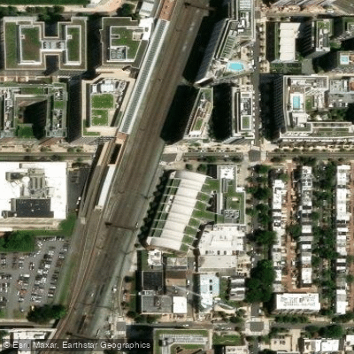
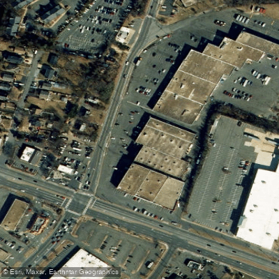
Learn how to get on Georgetown Channel. Uncover great paddling access points, boat ramps, and all the facilities you need for an unforgettable day on the water. Some locations shown may border or include private property. Always check property boundaries and applicable regulations before visiting. PaddleWays's Public & Private Land layer can help you plan your access with confidence.
Paddle smarter with real-time insights
Whether you're en route and conditions shift or you're looking for the best spot based on current flows, we enable you to make informed decisions on the fly.







District Of Columbia licenses and regulations
No licenses or regulations available for District Of Columbia.
Find Places to Paddle

Over 400,000 Places to Paddle
Every user gets free access to launch points, boat ramps, and public property parcels.


Tides, wind & water conditions (10 day forecast)
On open water, wind and tide matter as much as the weather. See the best times to paddle Georgetown Channel and check the marine forecast before you launch.
Loading tide predictions…
Paddling near Georgetown Channel

Potomac River
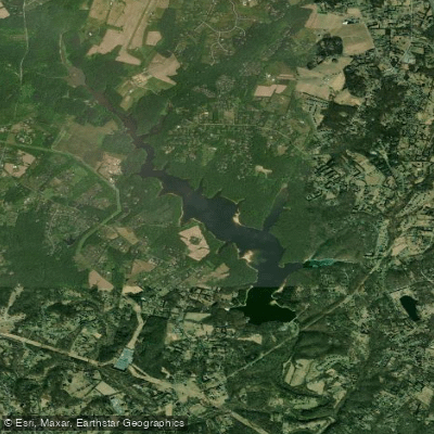
Triadelphia Reservoir

Patuxent River
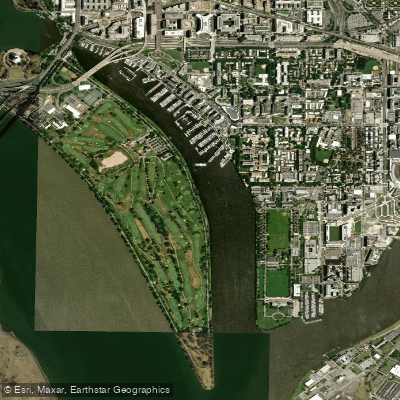
Washington Channel
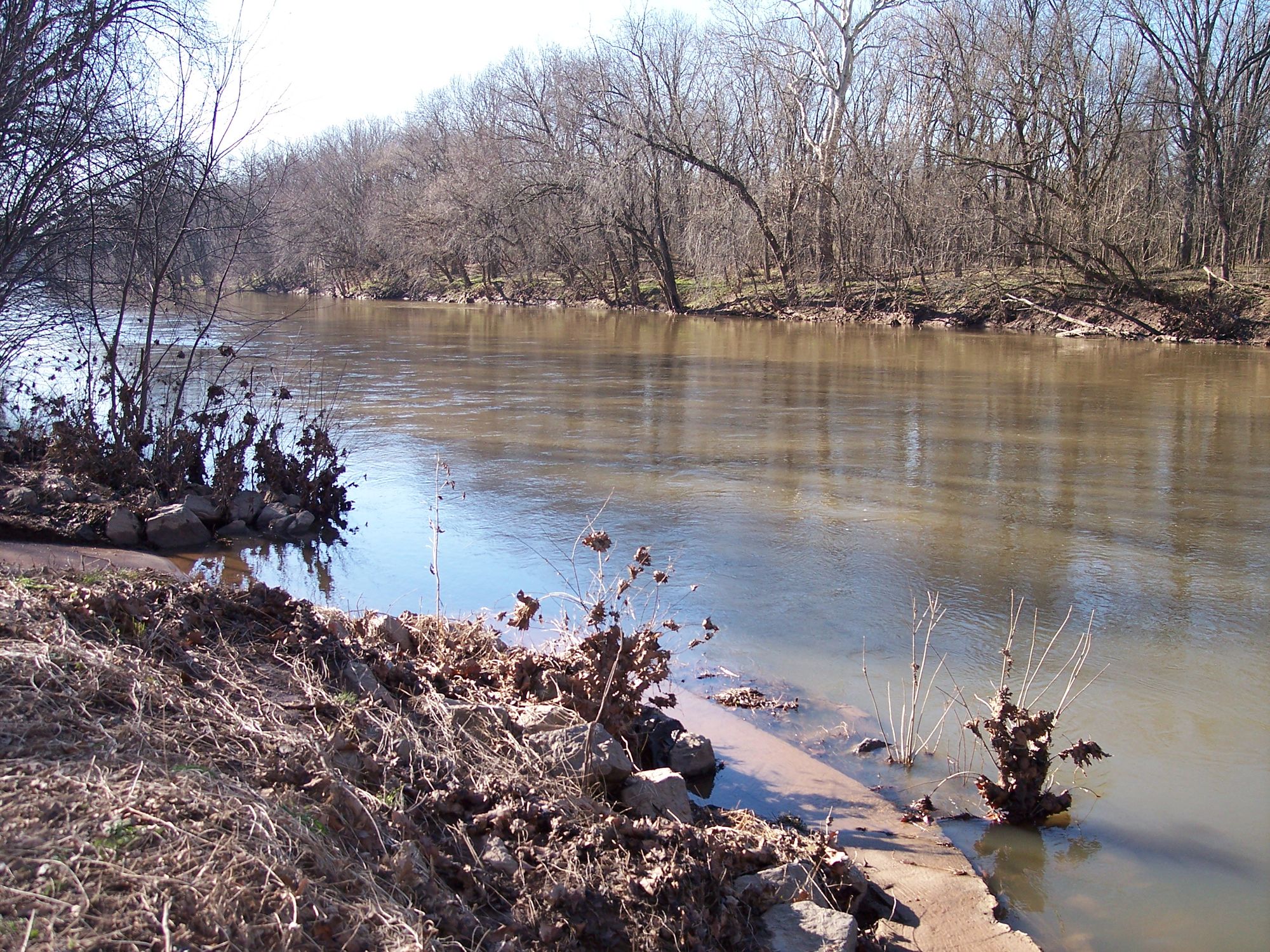
Monocacy River
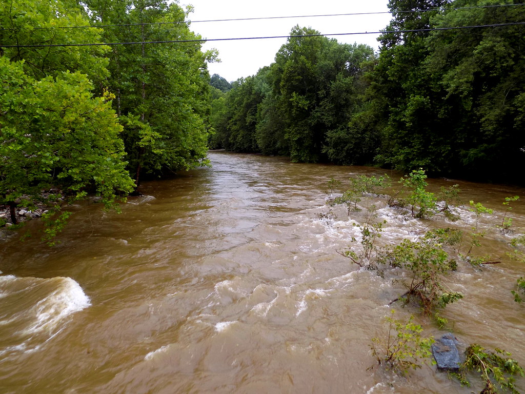
Patapsco River
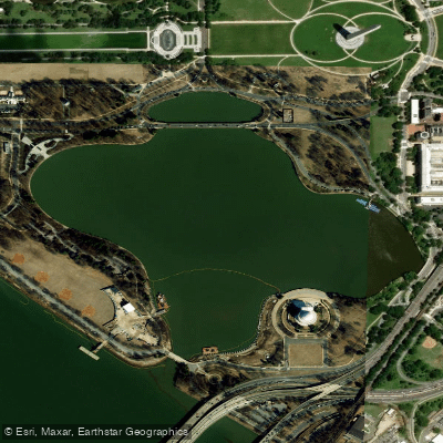
Tidal Basin
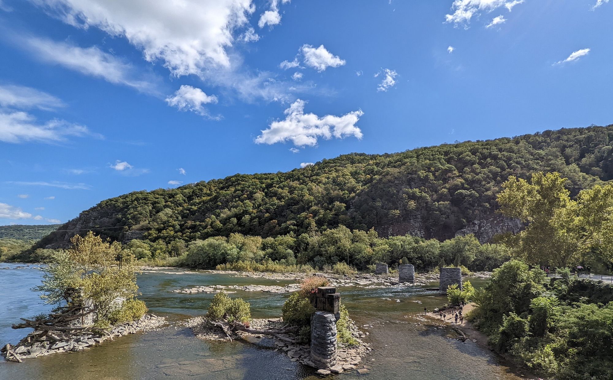
Shenandoah River
Explore District Of Columbia waters
Top paddling waters
No waters available right now.
Popular Cities
Loading popular cities...
Explore near Georgetown Channel
Access points
Nearby waters
More in District Of Columbia

Smarter Paddling Starts in the App.
Paddleways gives you everything you need to plan smarter, paddle better, and own every trip from first launch to takeout.