Patuxent River
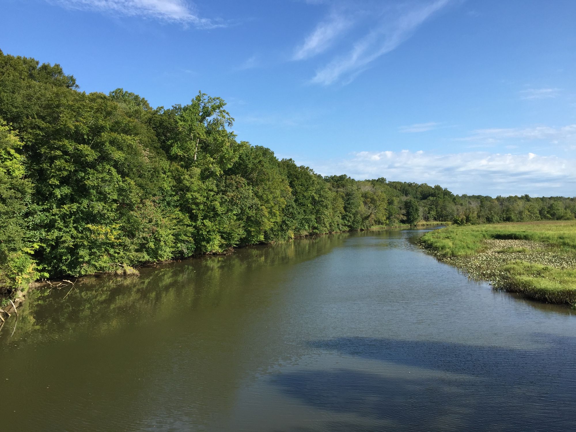
Patuxent River
- Boat Ramps
- 10
- Access Points
- 11
- Campsites
- 9
The Patuxent River is Maryland's longest river, flowing entirely within the state for approximately 115 miles from its source in Howard County to its mouth at the Chesapeake Bay. This scenic waterway offers paddlers a diverse range of experiences, from serene flatwater sections to challenging whitewater rapids.
The river can be broadly divided into three main paddling sections: the upper, middle, and lower Patuxent. The upper section, near Laurel and the Patuxent Wildlife Refuge, tends to be shallow and can present challenges with snags and fallen trees. The middle section widens and offers more consistent paddling conditions, while the lower section near Jug Bay opens up into expansive wetlands and tidal areas.
Paddling difficulty on the Patuxent ranges from flatwater suitable for beginners to Class IV rapids that demand advanced skills. The majority of the river is calm and ideal for novice to intermediate paddlers, with more challenging sections found in the upper reaches, particularly between Old Columbia Road and Savage Mill.
Spring and fall are generally the best seasons for paddling the Patuxent, offering comfortable temperatures and adequate water levels. Summer can be enjoyable for flatwater sections, but paddlers should be prepared for heat and potentially low water conditions in some areas.
The river's ecosystem supports a rich variety of wildlife, including beavers, otters, and numerous bird species. The tidal freshwater marshes around Jug Bay are particularly notable for their biodiversity and provide excellent birdwatching opportunities.
Key landmarks along the Patuxent include Jug Bay Natural Area, a 1,700-acre protected wetland complex, and the historic Savage Mill. The river passes through or near several parks and natural areas, including Patuxent River State Park, Kings Landing Park, and the Merkle Wildlife Sanctuary.
Major access points include Jackson Landing in the Jug Bay Natural Area, Kings Landing Park in Huntingtown, and various launches in the Patuxent River Park system. Towns like Upper Marlboro, Laurel, and Savage offer nearby amenities and access to the river.
The Patuxent holds significant historical importance, having been a vital transportation route and resource for indigenous peoples and early European settlers. Today, it plays a crucial role in Maryland's ecology and serves as an important recreational resource.
Paddlers should be aware of tidal influences in the lower sections of the river and always check water levels before embarking on a trip, especially in the upper reaches where low water can make navigation difficult. Personal flotation devices are required, and paddlers should be prepared for changing weather conditions.
For those seeking multi-day adventures, the Patuxent Water Trail offers numerous opportunities for extended trips with designated camping areas along the river. A popular multi-day route is the 11-mile paddle from Queen Anne Bridge to Jug Bay, which showcases the river's transition from narrow waterway to expansive wetlands.
The Patuxent River provides a unique opportunity to explore Maryland's diverse landscapes, from forested uplands to tidal marshes, all within a single waterway. Its accessibility and variety of paddling options make it a treasured resource for both local outdoor enthusiasts and visitors to the region.
Water access, boat ramps & amenities
Learn how to get on Patuxent River. Uncover great paddling access points, boat ramps, and all the facilities you need for an unforgettable day on the water. Some locations shown may border or include private property. Always check property boundaries and applicable regulations before visiting. PaddleWays's Public & Private Land layer can help you plan your access with confidence.
Paddle smarter with real-time insights
Whether you're en route and conditions shift or you're looking for the best spot based on current flows, we enable you to make informed decisions on the fly.







Find Places to Paddle

Over 400,000 Places to Paddle
Every user gets free access to launch points, boat ramps, and public property parcels.


Water and weather conditions (10 day forecast)
See the best times to paddle Patuxent River and check the forecast before you go.
PATUXENT RIVER NEAR UNITY, MD
All Flow Stations
Paddling near Patuxent River
South River
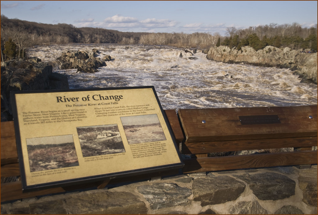
Potomac River
Triadelphia Reservoir
Severn River
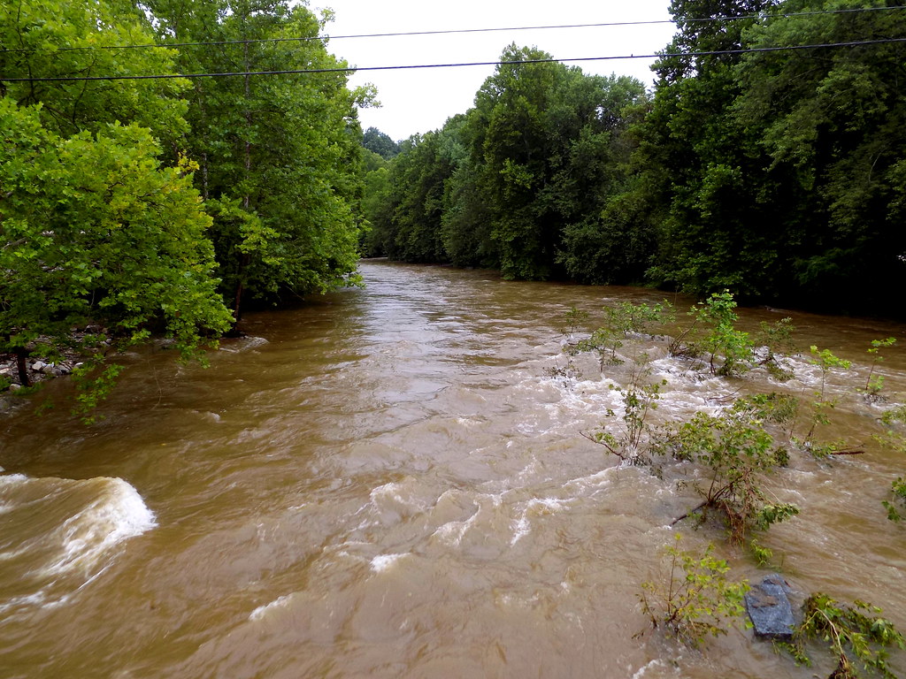
Patapsco River
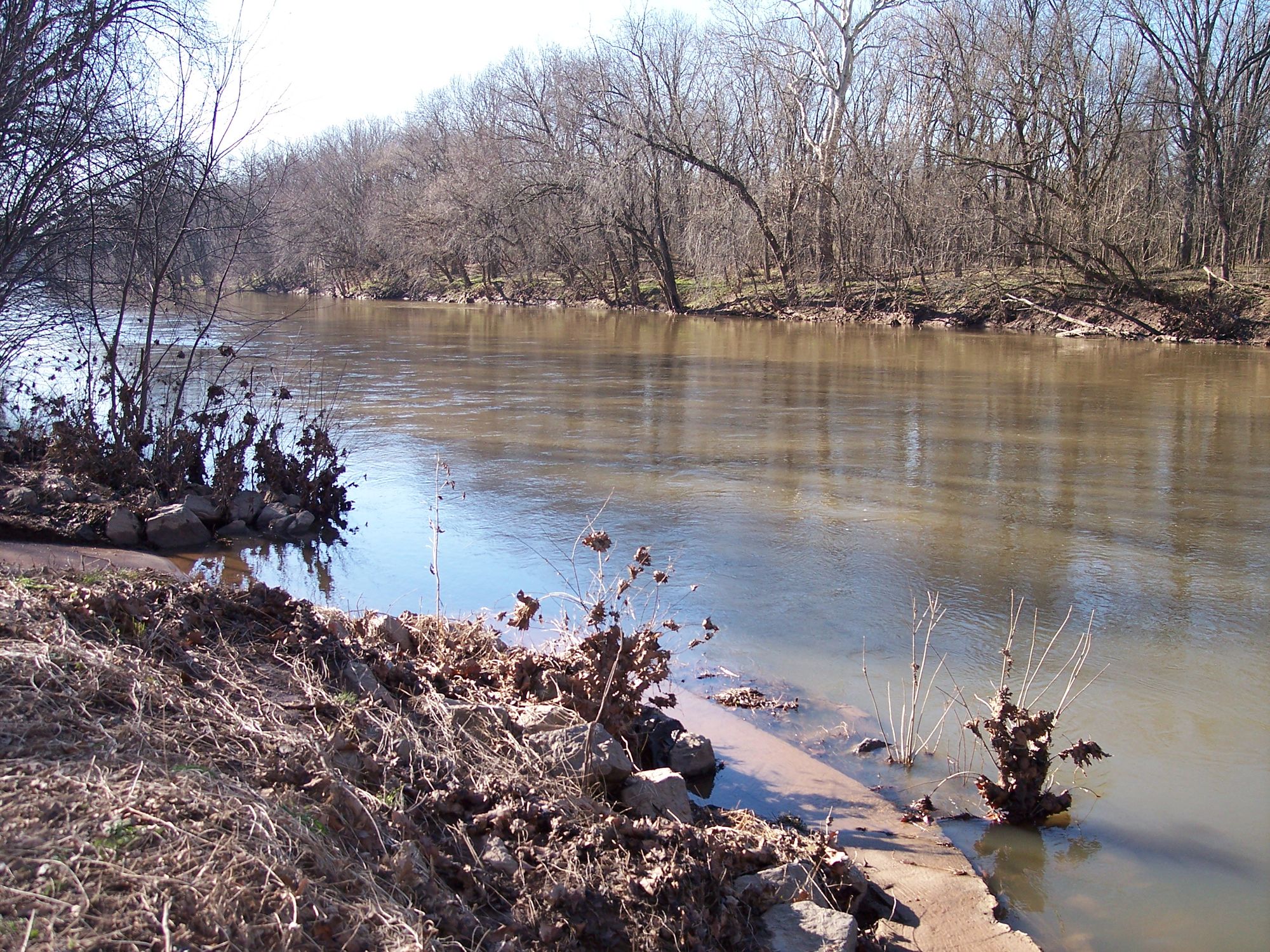
Monocacy River
Round Bay
Little Patuxent River
Explore Maryland waters
Top paddling waters
Popular Cities
Loading popular cities...
Explore near Patuxent River
Access points
- Queenstown Dock Boat Ramp
- Queen Anne Boat Ramp
- Governor Bridge Natural Area Boat Ramp
- Wooten's Landing Boat Ramp
- Davidsonville Park Boat Ramp
- Public Landing Boat Ramp
- Patuxent Riverkeeper Center Boat Ramp
- Browns Bridge Recreation Area Boat Ramp
- Forrest Landing Boat Ramp
- Lower Marlboro Wharf Boat Ramp
- Patuxent River Laurel Access
- Patuxent River Bridge
- All 233 spots
Nearby waters
More in Maryland

Smarter Paddling Starts in the App.
Paddleways gives you everything you need to plan smarter, paddle better, and own every trip from first launch to takeout.