Portneuf River
Portneuf River
- Boat Ramps
- 0
- Access Points
- 0
- Campsites
- 15
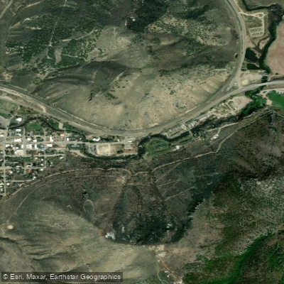
The Portneuf River flows 124 miles through southeastern Idaho, originating in western Caribou County along the eastern flank of the Portneuf Range, approximately 25 miles east of Pocatello. The river initially flows south before wrapping around the southern end of the range, then turns north to carve through the valley between the Portneuf Range to the east and the Bannock Range to the west. It passes through downtown Pocatello before emptying into the Snake River at the southeast corner of American Falls Reservoir.
This river system offers remarkably varied paddling experiences, from family-friendly urban floats to serious Class IV whitewater challenges. The Pocatello Water Trail provides the most accessible paddling, with a Class I float through the heart of the city featuring multiple access points at Rainey Creek, Taysom Rotary Park, Cheyenne Bridge, and Portneuf Road. This section moves at a leisurely pace downstream of Taysom Rotary Park and is popular for tubing, kayaking, and canoeing from May through October.
Near Lava Hot Springs, the river transforms into a rapid-filled playground. The 6.1-mile stretch from Sportsmen Campground to the PVC diversion offers Class II-III whitewater through scenic terrain, while the Johnny Creek to I-86 section presents a formidable 15.6-mile Class IV run that demands serious whitewater skills and sees relatively light traffic. The Diversion to Marsh Creek section covers 14.3 miles through Bannock County, though specific details about this stretch remain limited.
The river's character has been significantly shaped by human intervention. Following severe floods in the early 1960s, the Army Corps of Engineers constructed a concrete channel through western Pocatello in 1965, fundamentally altering the river's natural processes through the urban corridor.
Brown trout, cutthroat trout, and rainbow trout inhabit the river system, with special regulations protecting cutthroat populations in certain sections. From the East Main Street bridge in Lava Hot Springs upstream to Chesterfield Reservoir, catch-and-release regulations with barbless hooks apply from December through the Friday before Memorial Day weekend.
Paddlers must navigate complex access restrictions, as much of the adjacent land is privately owned. Entry and exit are permitted only from public land or at public rights-of-way near bridges. Portions flowing through the Fort Hall Reservation fall under tribal jurisdiction. Downed trees and submerged logs present the most significant hazards, particularly in intermediate and advanced sections, where paddlers should expect to portage obstacles. The section through downtown Lava Hot Springs is closed to fishing year-round to accommodate swimmers and tubers.
Water access, boat ramps & amenities
Learn how to get on Portneuf River. Uncover great paddling access points, boat ramps, and all the facilities you need for an unforgettable day on the water. Some locations shown may border or include private property. Always check property boundaries and applicable regulations before visiting. PaddleWays's Public & Private Land layer can help you plan your access with confidence.
Paddle smarter with real-time insights
Whether you're en route and conditions shift or you're looking for the best spot based on current flows, we enable you to make informed decisions on the fly.







Idaho licenses and regulations

Idaho Boating Regulations
When using any type of watercraft to access a body of water, it is important to follow all federal, state, and local rules and regulations. These rules and regulations include boat permitting and licensing, invasive species inspections and stamps, life jacket and PFD rules, motor size and horsepower restrictions, noise limitations, restrictions on personal watercraft, and many more. Visit the web link below for the most current rules and regulations for this body of water.

Idaho Boating Regulations
When using any type of watercraft to access a body of water, it is important to follow all federal, state, and local rules and regulations. These rules and regulations include boat permitting and licensing, invasive species inspections and stamps, life jacket and PFD rules, motor size and horsepower restrictions, noise limitations, restrictions on personal watercraft, and many more. Visit the web link below for the most current rules and regulations for this body of water.

Idaho Fishing License
"To fish in Idaho any person 14 years of age or older must have a valid fishing license. Anglers younger than 14 do not need a license, but there is a small difference between resident and nonresident youth. -A resident child under 14 has their own separate fishing limit. -A nonresident child under 14 must be with someone who has a valid fishing license and their fish are in included in the license holders fishing limit. However, a nonresident child may purchase their own license and have their own limit. Special fishing permits are need for some activities for both residents and nonresidents: -Fishing for salmon and steelhead -Fishing with two poles."

Idaho Fishing Regulations
This river has a variety of species and regulations, including potential floating and/or watercraft restrictions. Because this river is specially managed for species, seasons, angling methods, and watercraft, it is strongly encouraged you check all federal, state, and local regulations before fishing. Visit any of the links below, inquire locally, or contact a local fly shop to learn current regulations and restrictions.

Idaho Stream Access Laws
Navigable streams are recognized as public transportation corridors, thus members of the public have the right to use the corridor, provided they enter and exit the corridor at a public right of way and remain within the corridor. Many navigable streams flow through private property, thus it is important that anglers know their rights and responsibilities when fishing in navigable waters that flow through private property.
Find Places to Paddle

Over 400,000 Places to Paddle
Every user gets free access to launch points, boat ramps, and public property parcels.


Water and weather conditions (10 day forecast)
See the best times to paddle Portneuf River and check the forecast before you go.
PORTNEUF RIVER AT TOPAZ ID
All Flow Stations
Paddling near Portneuf River
Snake River
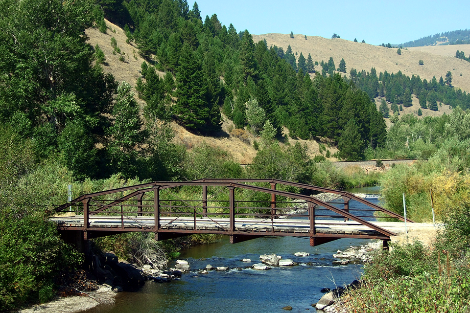
Blackfoot River
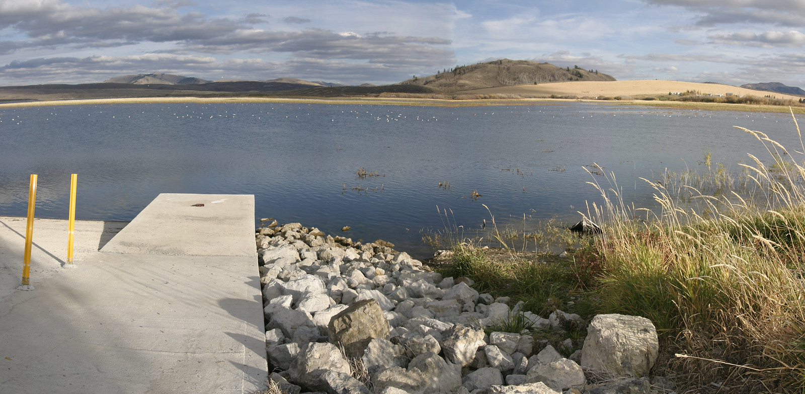
Blackfoot Reservoir
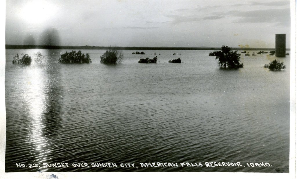
American Falls Reservoir
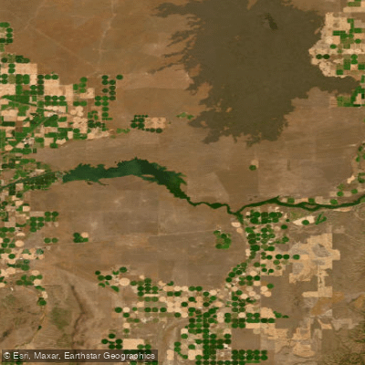
Lake Walcott
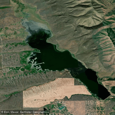
Chesterfield Reservoir
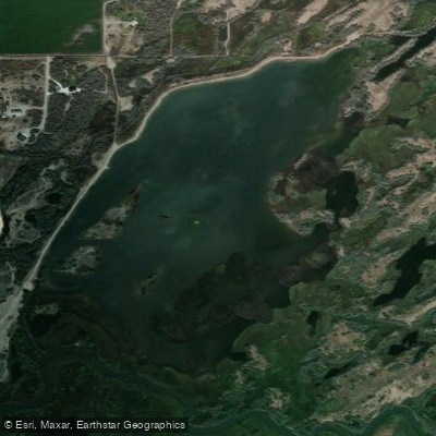
Equalizing Reservoir
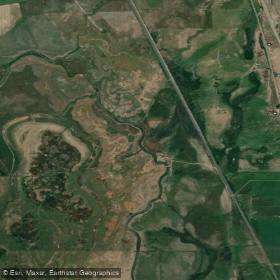
Bear River
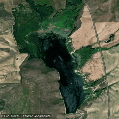
Daniels Reservoir
Explore Idaho waters
Top paddling waters
Popular Cities
Loading popular cities...
Explore near Portneuf River
Access points
Nearby waters
More in Idaho

Smarter Paddling Starts in the App.
Paddleways gives you everything you need to plan smarter, paddle better, and own every trip from first launch to takeout.