Paddling in Illinois
- Lakes
- 1,645
- Rivers
- 2,977
- Access
- 202
- Boat Ramps
- 715
- Shops
- 9
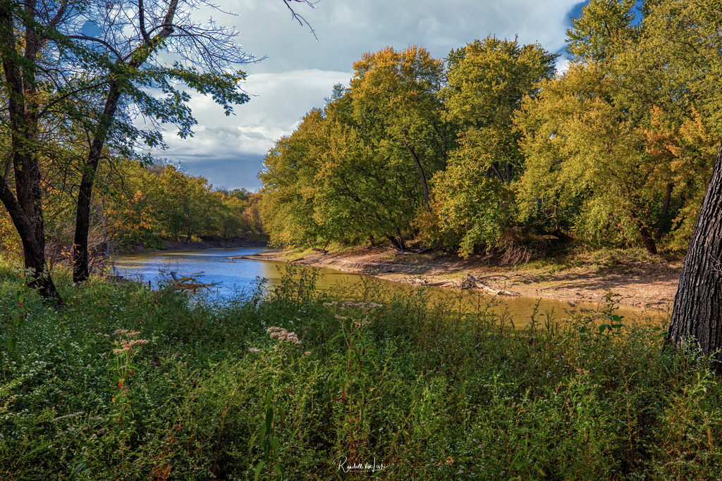
Illinois is a flatwater state at heart, defined by long, mellow river miles and a weekend canoe culture — with a genuinely sophisticated urban paddling scene grafted onto Chicago and one improbable scenic river hiding downstate.
The core of it is the touring tradition. The Rock River Water Trail runs the length of the state from the Wisconsin line to the Mississippi, mostly Class I, with limestone bluffs through the Castle Rock stretch.
The Kankakee River National Water Trail is the other anchor — 133 miles broken into distinct character reaches, from the channelized farmland up top to the Ancient Wetland section, which holds the best wetland habitat in the state.
Then there's the Hennepin Canal: 95 miles of dead-flat historic canal, no current, arm power only, with inoperative locks you have to portage (the run east of Lock 21 is the brutal one). Clubs like the Prairie State Canoeists, St.
Charles Canoe Club, and the Potawatomi Paddlers are what hold this scene together — coordinated trips, shuttle logistics, decades of institutional knowledge about which put-ins still work. The defining friction here is access.
Illinois has some of the most restrictive river-access law in the country: under common law upheld by the state Supreme Court in 2022, a stream is only public if it was historically navigable by commercial traffic, which means landowners can — and do — string fences across small creeks.
The Illinois Paddling Council's push for HB 4708 isn't abstract policy; it's the reason designated water trails matter so much here. The other hard safety reality is low-head dams.
The Fox River alone killed twenty-nine people over a ten-year span before the Yorkville dam was reconstructed. Scout, portage, never approach from below.
That Yorkville rebuild produced the Marge Cline Whitewater Course — an 1,100-foot bypass channel with Class III standing waves, the only purpose-built whitewater in the state, and home to the Chicago Whitewater Association's Buttercup Slalom Series each July.
Outside of that and the Lower Vermilion at high water, Illinois whitewater paddlers drive to Wisconsin.
The Middle Fork Vermilion is the one everyone mentions — Illinois' only National Wild and Scenic River, clear green pools and gravel riffles cutting through glacial bluffs about a hundred miles south of Chicago.
Spring through early summer is the window; by late summer it's often too shallow, and Kickapoo Adventures shifts trips over to the Salt Fork.
And then Chicago: the Skyscraper Canyon of the main branch, color-zoned by traffic intensity to keep paddlers out of the way of tour boats and barges, plus 68 miles of Lake Michigan shore that belongs to experienced sea kayakers — CASKA territory, cold well into spring, shipping lanes, real consequences.
May through September the Riverwalk outfitters run nonstop. It's a strange and good combination: cypress swamp on the Cache, prairie rivers in the middle, and a downtown river you can paddle past the Wrigley Building on a Tuesday evening.
Paddle smarter with real-time insights
Whether you're en route and conditions shift or you're looking for the best spot based on current flows, we enable you to make informed decisions on the fly.







Illinois licenses and regulations
National parks in Illinois
Explore Illinois waters
Top paddling waters
Popular Cities
Loading popular cities...

Smarter Paddling Starts in the App.
Paddleways gives you everything you need to plan smarter, paddle better, and own every trip from first launch to takeout.