Lake Shelbyville
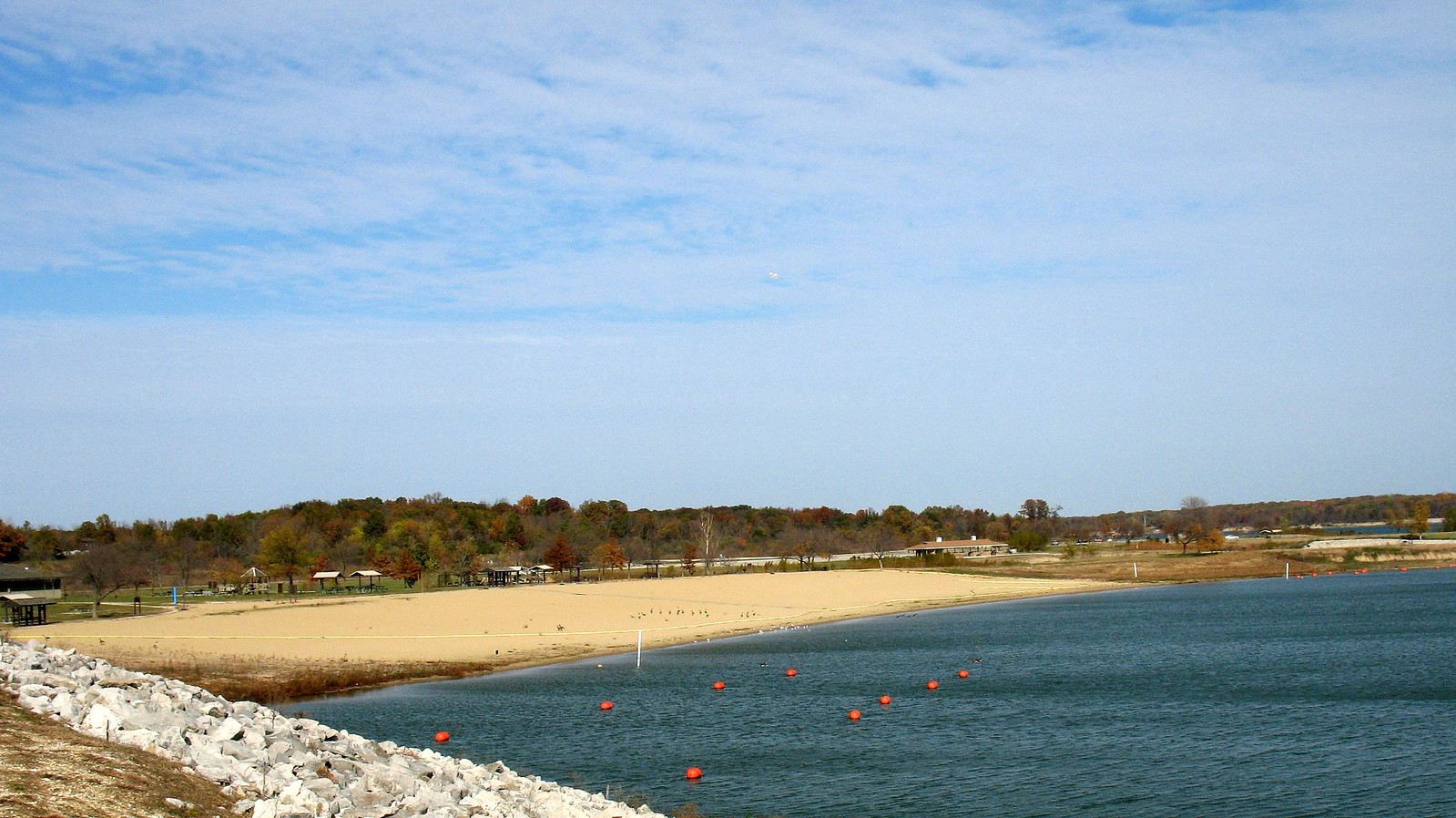
Lake Shelbyville
- Boat Ramps
- 20
- Access Points
- 21
- Campsites
- 10
Lake Shelbyville is a 11,100-acre reservoir located in central Illinois, offering diverse paddling opportunities. The lake features over 250 miles of shoreline with numerous coves and inlets to explore. Multiple public boat ramps and beaches provide access points for paddlers. The lake is known for its scenic wooded shorelines and abundant wildlife, including various bird species.
Fishing is popular on Lake Shelbyville, with largemouth bass, crappie, catfish, walleye, and muskie among the target species. Paddlers should be aware of fishing boats and other recreational watercraft, especially during peak summer months. The lake can experience strong winds at times, so paddlers should check conditions and exercise caution.
Several campgrounds and day-use areas surround the lake, offering amenities like picnic shelters, beaches, and hiking trails. Wolf Creek State Park on the eastern shore provides additional recreational opportunities. The lake typically experiences its busiest period from Memorial Day through Labor Day.
Water temperatures on Lake Shelbyville range from the 40s Fahrenheit in early spring to the 80s in mid-summer. The lake is generally clean and well-maintained, managed by the U.S. Army Corps of Engineers. Paddlers should be aware that the lake level can fluctuate significantly throughout the year for flood control purposes.
Lake Shelbyville was created in 1970 by damming the Kaskaskia River. The dam and spillway at the southern end of the lake are off-limits to paddlers. When planning trips, paddlers should consult official maps and be aware of no-wake zones and restricted areas near the dam.
Water access, boat ramps & amenities
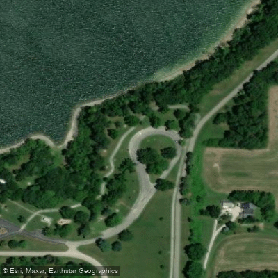
Learn how to get on Lake Shelbyville. Uncover great paddling access points, boat ramps, and all the facilities you need for an unforgettable day on the water. Some locations shown may border or include private property. Always check property boundaries and applicable regulations before visiting. PaddleWays's Public & Private Land layer can help you plan your access with confidence.
Paddle smarter with real-time insights
Whether you're en route and conditions shift or you're looking for the best spot based on current flows, we enable you to make informed decisions on the fly.








Find Places to Paddle

Over 400,000 Places to Paddle
Every user gets free access to launch points, boat ramps, and public property parcels.


Water and weather conditions (10 day forecast)
See the best times to paddle Lake Shelbyville and check the forecast before you go.
KASKASKIA RIVER AT SHELBYVILLE, IL
Paddling near Lake Shelbyville
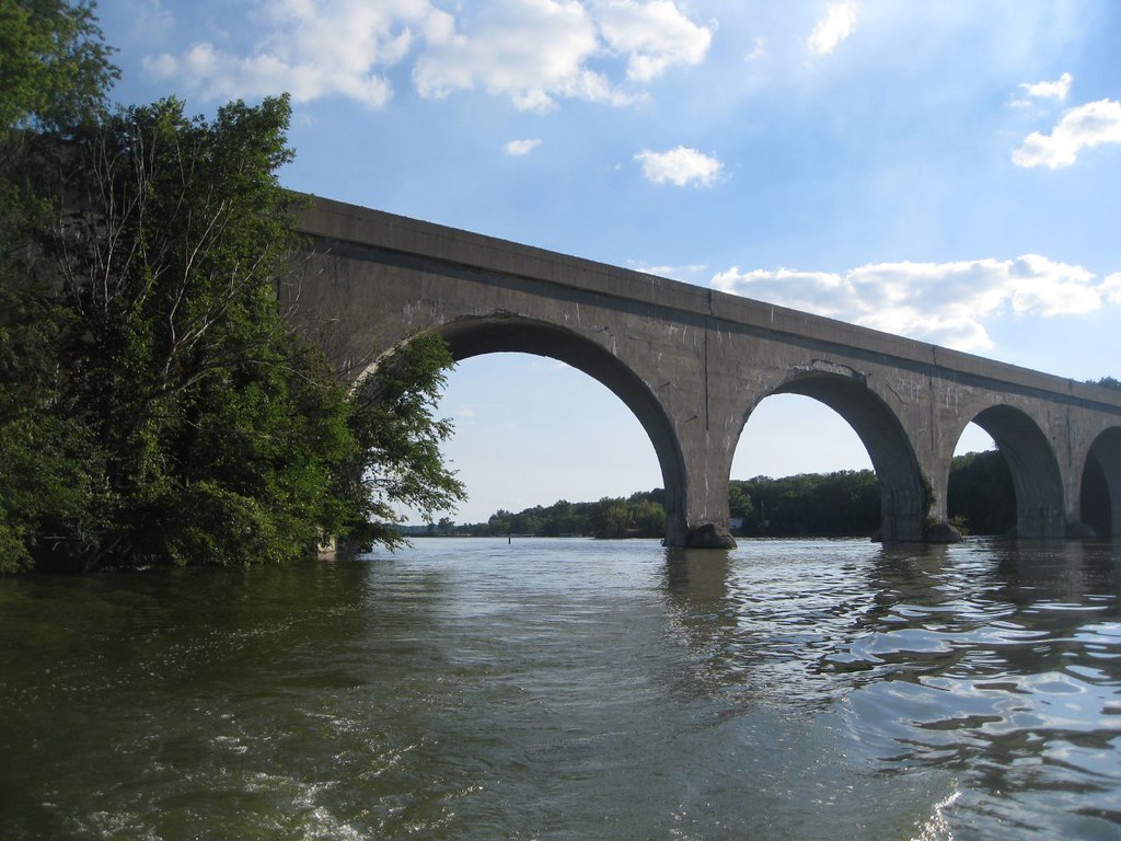
Lake Decatur
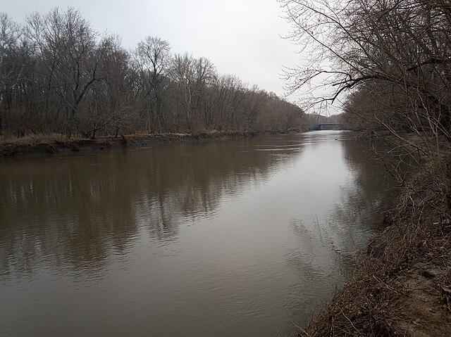
Sangamon River
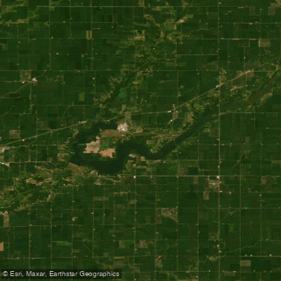
Lake Clinton
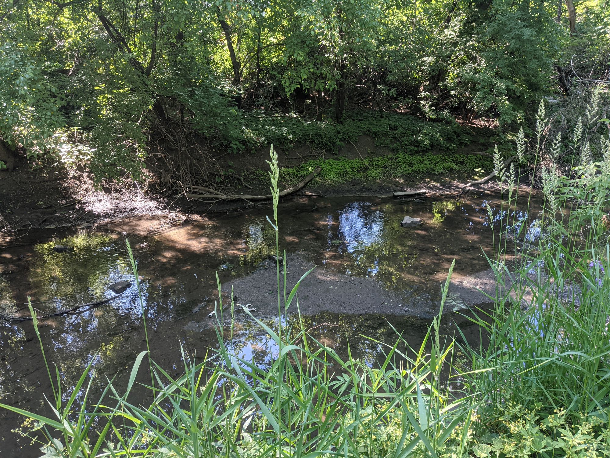
Salt Creek
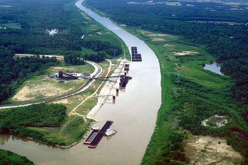
Kaskaskia River
Lake Springfield
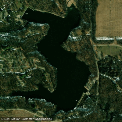
Weldon Springs Lake
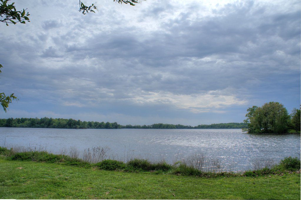
Sangchris Lake
West Okaw River
Explore Illinois waters
Top paddling waters
Popular Cities
Loading popular cities...
Explore near Lake Shelbyville
Access points
- North West Dam Boat Ramp
- Sullivan Marina Boat Ramp
- Coon Creek Boat Ramp
- Opossum Creek Boat Ramp
- Lake Shelbyville Boat Ramp
- Lone Point Boat Ramp
- Lithia Springs Boat Ramp
- Whitley Creek Boat Ramp
- Lake Shelbyville Boat Ramp
- Wilborn Creek Boat Ramp
- Forrest West Wood Boat Ramp
- Wolf Creek State Park Boat Ramp
- All 78 spots
Nearby waters
More in Illinois

Smarter Paddling Starts in the App.
Paddleways gives you everything you need to plan smarter, paddle better, and own every trip from first launch to takeout.