Upper Caney Lake
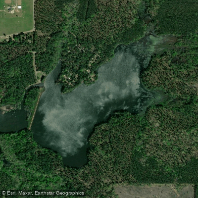
Upper Caney Lake
- Boat Ramps
- 1
- Access Points
- 2
- Campsites
- 3
Upper Caney Lake is a 125-acre reservoir in the Kisatchie National Forest offering a peaceful paddling environment with restrictions that enhance the non-motorized experience - no water skiing, jet skiing, or power boats are allowed. The lake features miles of forested shoreline and is notably quieter than its companion Lower Caney Lake.
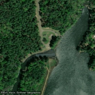
A paved boat launch with ample parking is located between Turtle Slide and Beaver Dam Campgrounds, providing year-round access. The launch area includes flush toilets and trash receptacles. Daily entrance fee is $5 per vehicle (cash only), and the gate closes at 10:00 PM.
Wildlife viewing opportunities abound along the shoreline. Paddlers can spot resident and migratory waterfowl using nest boxes, ospreys perched in trees, herons and egrets fishing, and various songbirds. The lake and surrounding area support populations of turtles, snakes, lizards, small mammals, and occasional alligators.
Beaver Dam Campground sits adjacent to the lake, allowing campers direct water access. The surrounding Sugar Cane National Recreation Trail provides additional exploration opportunities along the forested terrain. The area includes fishing piers and picnic facilities.
The lake is particularly suitable for novice paddlers due to its small size and protected waters. While there are no marked paddle trails on the lake, multiple access points allow for flexible exploration. For those camping at Beaver Dam Campground, morning paddles offer a peaceful start to the day before other visitors arrive.
Getting there: From Minden, take Louisiana Highway 159 north to Webster Parish Road 111. Turn left and continue 2 miles to the signed recreation area entrance. The boat launch road is the second right after turning left at the entrance station.
Water access, boat ramps & amenities
Learn how to get on Upper Caney Lake. Uncover great paddling access points, boat ramps, and all the facilities you need for an unforgettable day on the water. Some locations shown may border or include private property. Always check property boundaries and applicable regulations before visiting. PaddleWays's Public & Private Land layer can help you plan your access with confidence.
Paddle smarter with real-time insights
Whether you're en route and conditions shift or you're looking for the best spot based on current flows, we enable you to make informed decisions on the fly.








Find Places to Paddle

Over 400,000 Places to Paddle
Every user gets free access to launch points, boat ramps, and public property parcels.


Water and weather conditions (10 day forecast)
See the best times to paddle Upper Caney Lake and check the forecast before you go.
No forecast data available.
Paddling near Upper Caney Lake

Red River
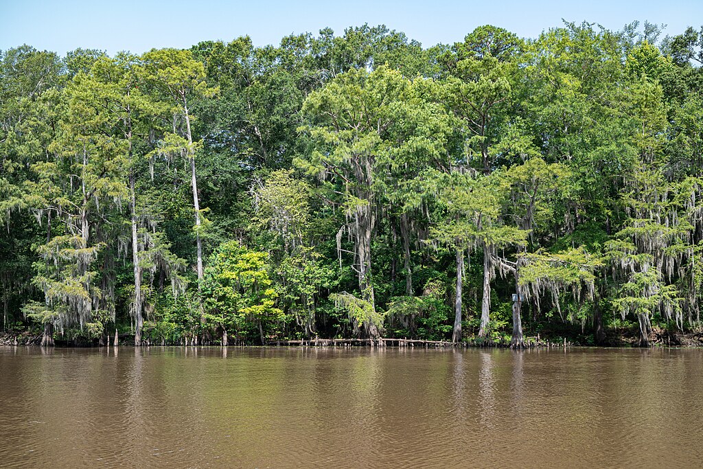
Big Cypress Bayou
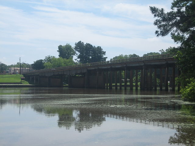
Sabine River
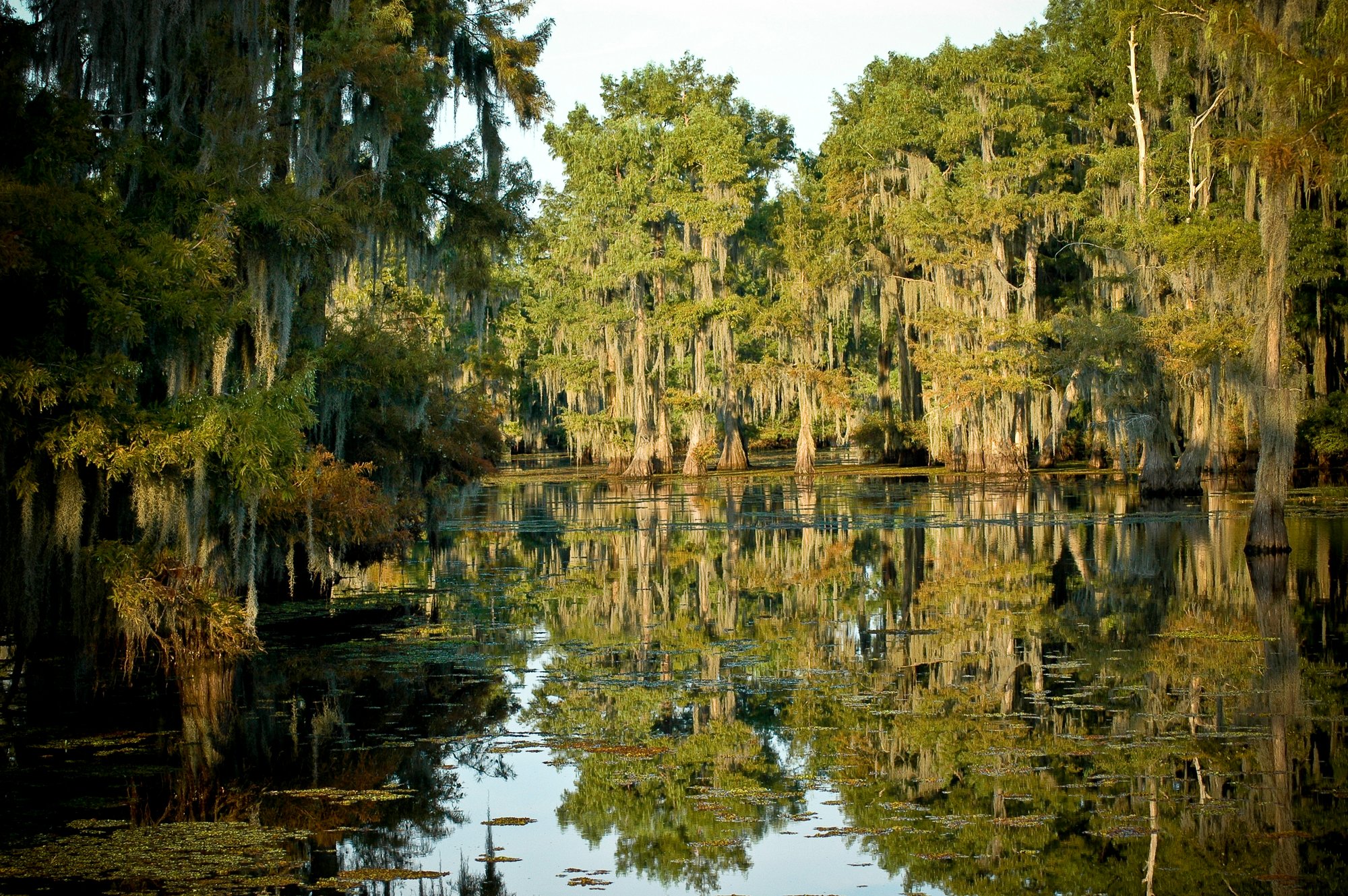
Lake Bistineau
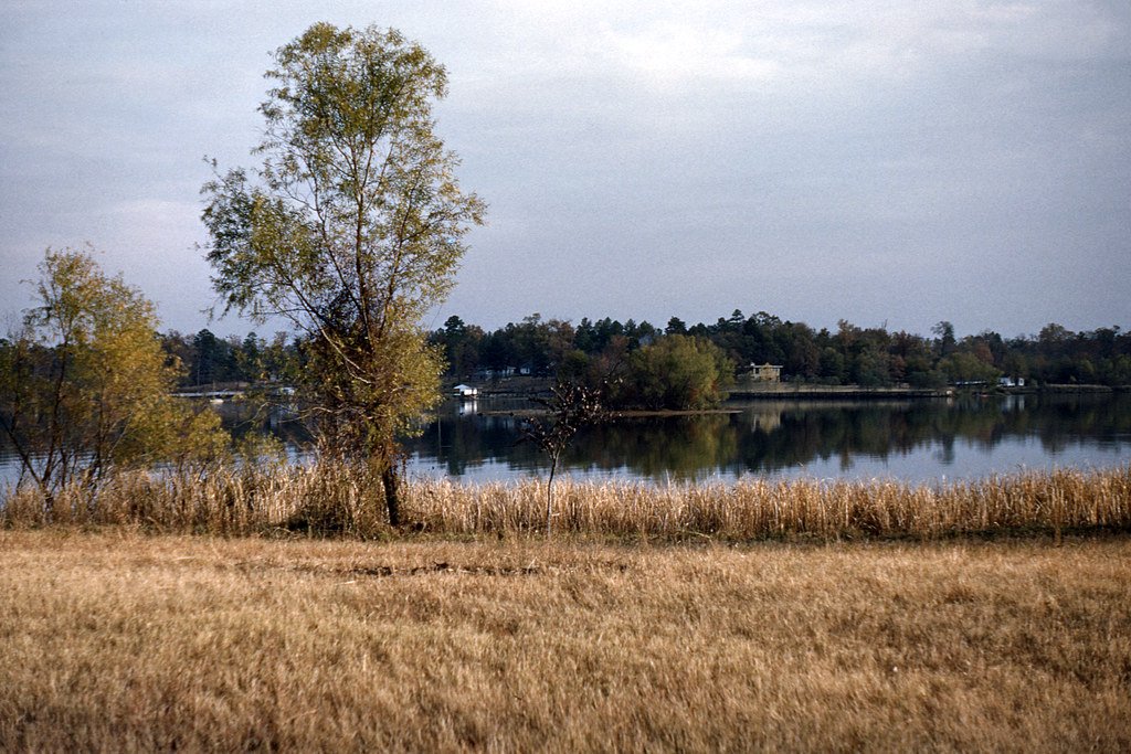
Cross Lake
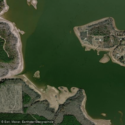
Bodcau Creek
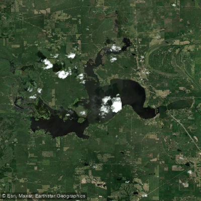
Caddo Lake
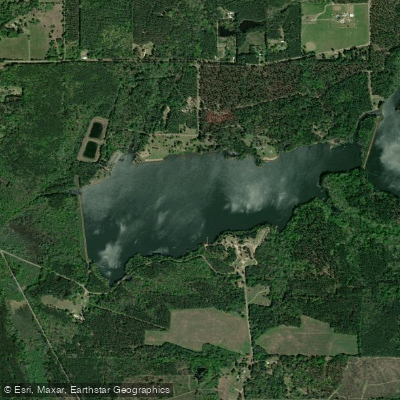
Caney Lakes
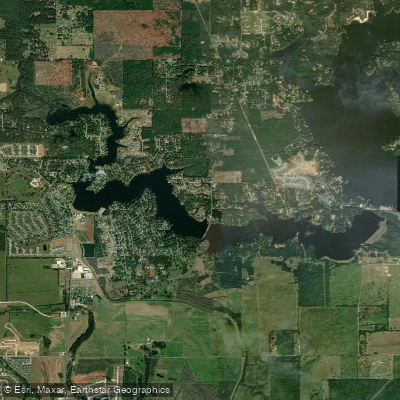
Black Bayou Reservoir
Explore Louisiana waters
Top paddling waters
Popular Cities
Loading popular cities...
Explore near Upper Caney Lake
Access points
Nearby waters
More in Louisiana

Smarter Paddling Starts in the App.
Paddleways gives you everything you need to plan smarter, paddle better, and own every trip from first launch to takeout.