Yucatan Lake
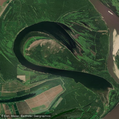
Yucatan Lake
- Boat Ramps
- 1
- Access Points
- 1
- Campsites
- 0
Lake Yucatan is a 2,421-acre oxbow lake located near Newellton, Louisiana. As an active oxbow connected to the Mississippi River by a 2-mile chute, water levels fluctuate dramatically with the river. When the Vicksburg gauge reaches 36.5 feet, the only access road floods, closing the lake. Paddling is best when levels are falling slowly, typically in late spring as floodwaters recede.
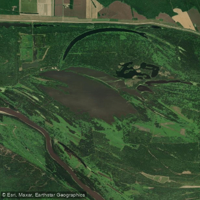
The lake reaches depths of 70 feet in places, with an irregular underwater topography of humps and shelves. Its shape resembles a long, narrow question mark. Yucatan Landing provides the only public boat launch, located on the deeper side of the lake. The opposite shore is shallower with numerous willow trees.
Water quality is excellent, as floodwaters are filtered through willow forests before entering the lake. Annual floods replenish nutrients and fish populations. Paddlers may encounter largemouth bass, white bass, crappie, catfish and other species. Wildlife viewing opportunities abound on the lake.
While there are no marked paddling routes, exploring the concrete erosion control structures along some shorelines can be interesting. Paddlers should be aware of potential boat traffic. The lake's connection to the Mississippi River allows access to the larger waterway when levels permit.
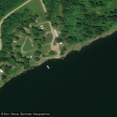
Camping is available at Yucatan Landing, which also offers other amenities. The area has historical significance, with the lake formed in 1929 when river shifts cut off a large bend called Yucatan Point, named for a former plantation.
Paddlers should check water levels before visiting, as conditions change rapidly with Mississippi River fluctuations. Standard boating rules apply on the lake.
Water access, boat ramps & amenities
Learn how to get on Yucatan Lake. Uncover great paddling access points, boat ramps, and all the facilities you need for an unforgettable day on the water. Some locations shown may border or include private property. Always check property boundaries and applicable regulations before visiting. PaddleWays's Public & Private Land layer can help you plan your access with confidence.
Paddle smarter with real-time insights
Whether you're en route and conditions shift or you're looking for the best spot based on current flows, we enable you to make informed decisions on the fly.








Find Places to Paddle

Over 400,000 Places to Paddle
Every user gets free access to launch points, boat ramps, and public property parcels.


Water and weather conditions (10 day forecast)
See the best times to paddle Yucatan Lake and check the forecast before you go.
No forecast data available.
Paddling near Yucatan Lake

Mississippi River
Yazoo River

Pearl River
Big Black River
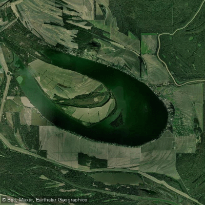
Eagle Lake
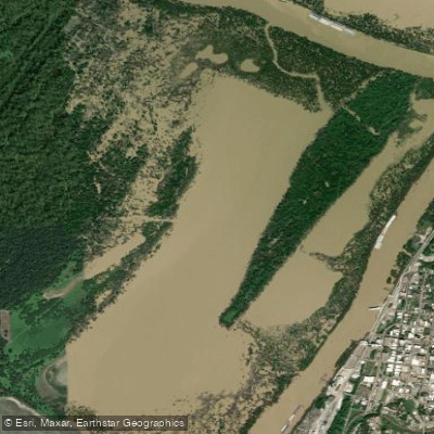
Centennial Lake
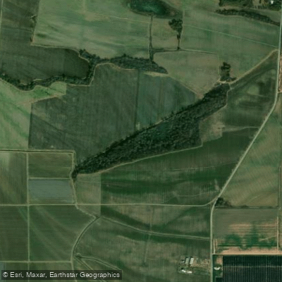
Big Sunflower River
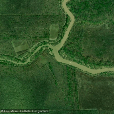
Little Sunflower River
Hodges Lake
Explore Louisiana waters
Top paddling waters
Popular Cities
Loading popular cities...
Explore near Yucatan Lake

Smarter Paddling Starts in the App.
Paddleways gives you everything you need to plan smarter, paddle better, and own every trip from first launch to takeout.